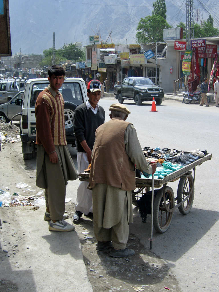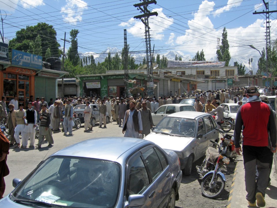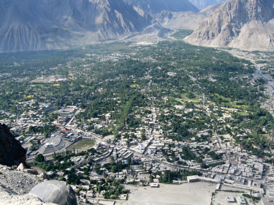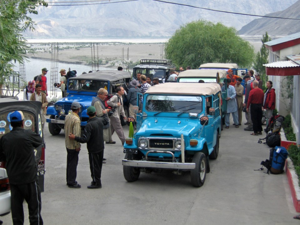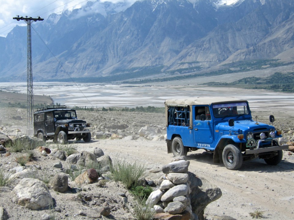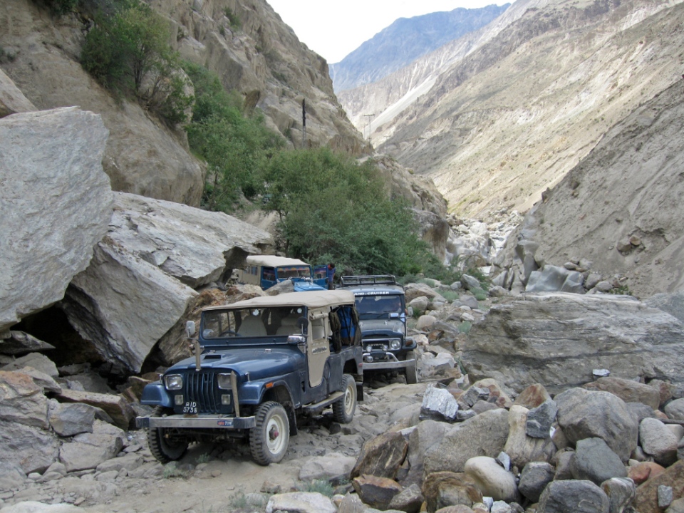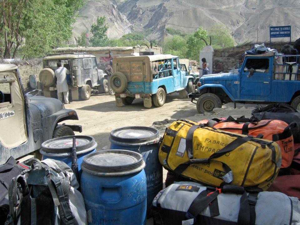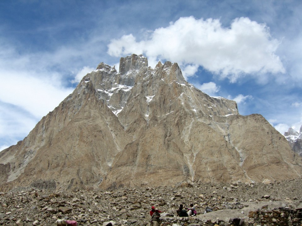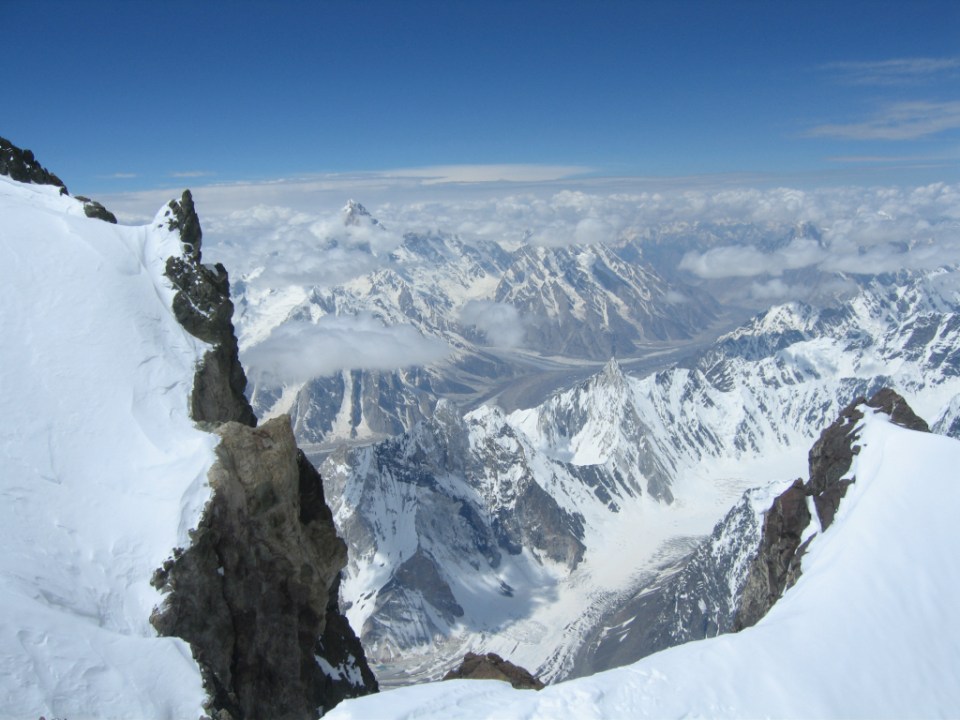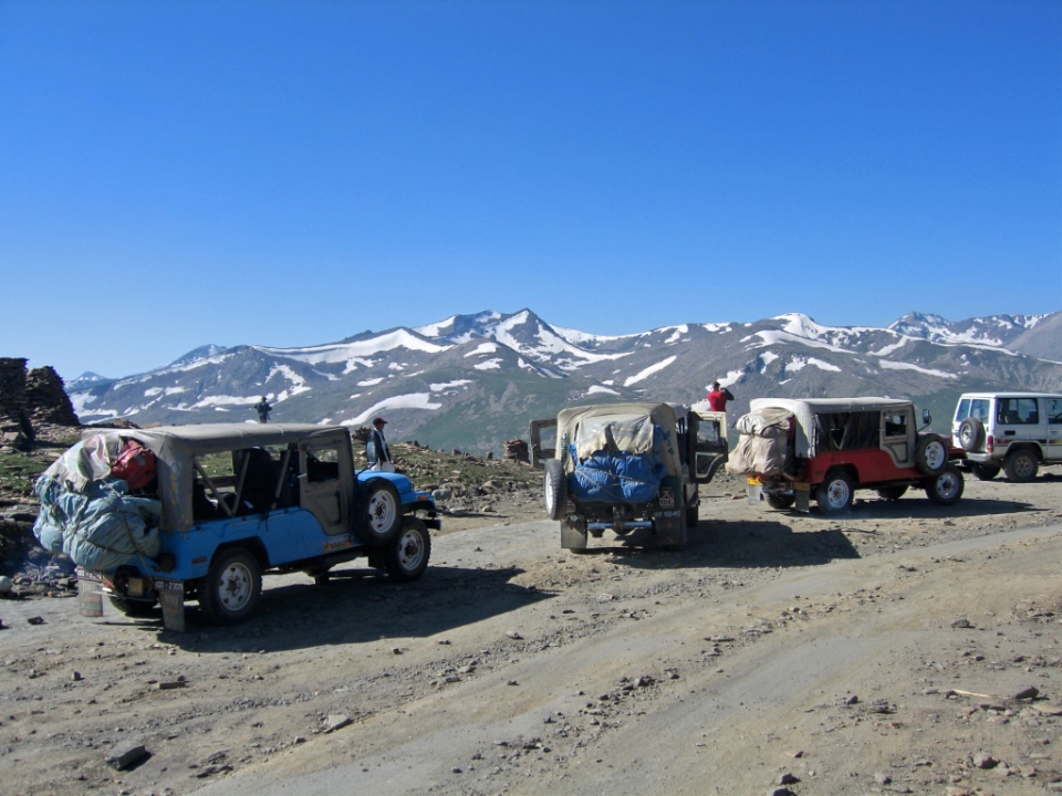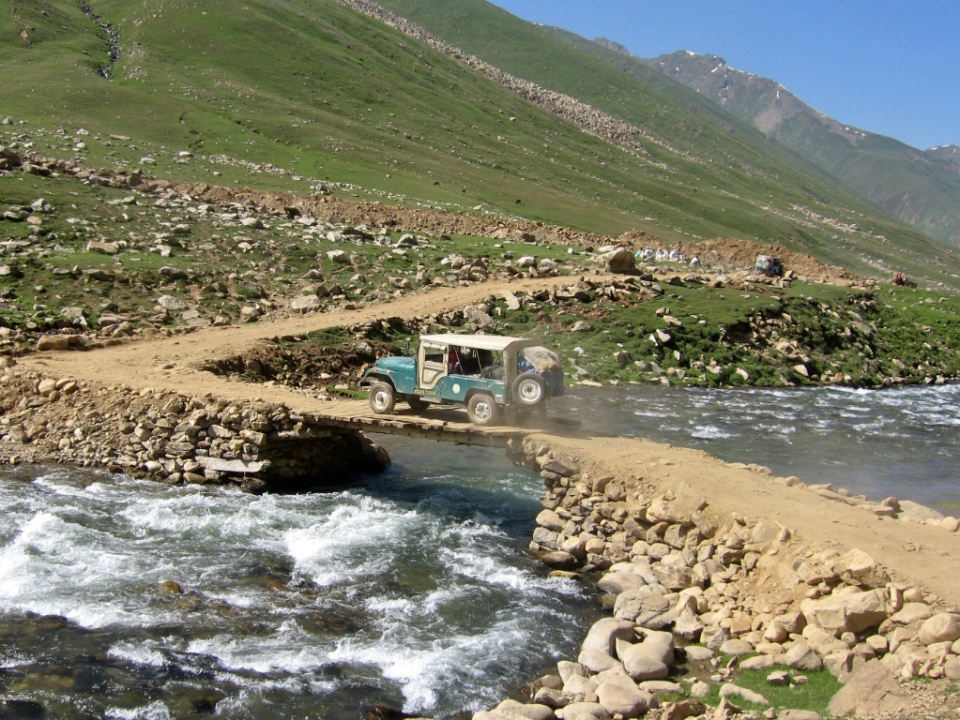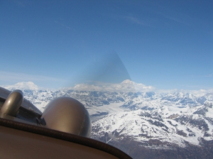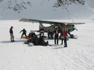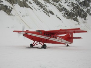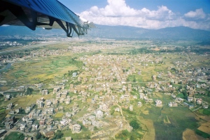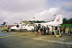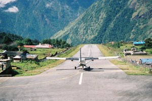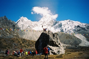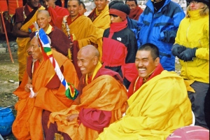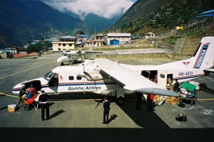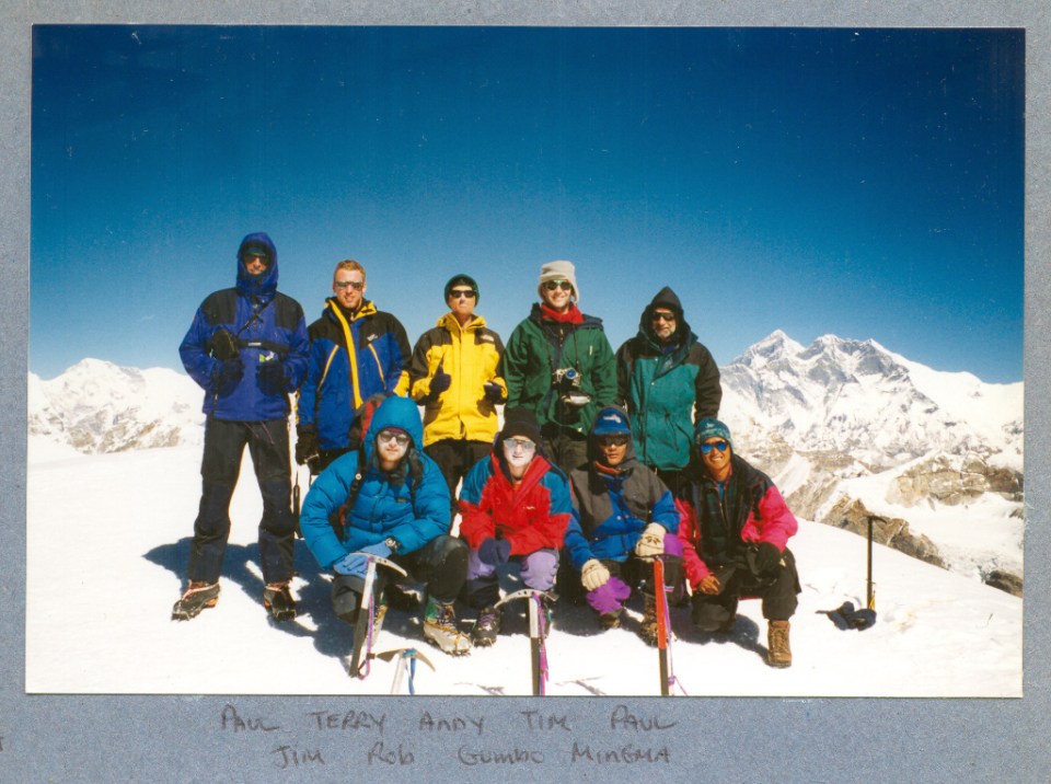

Kangchenjunga – meaning the five treasures of the snow – is located on the border of Nepal and Sikkim (India), it is the worlds third highest mountain. In 2002 i flew into Kathmandu to join a team of 12 climbers and 7 Nepalese high altitude climbers and apprentices to try to climb the mountain. This was a long expedition, 1st April to 10th June a total of 71 days. After a couple of days in Kathmandu getting our necessary trekking and climbing permits sorted out we were keen to get going – but there was a problem, the country was in the grip of a national strike and travel outside of the city was not possible while it continued. To get round this setback six of the team decided to fly out to Taplejung in a small plane, while the rest of us sat it out in Kathmandu. Taplejung is 500 km east of Kathmandu and is the start of the long trek into Kangchenjunga. The strike ended midnight on the 6th April, one hour later we were packing our rugged coach with a mountain of rucsacs, kit bags, tents and equipment. That day we travelled for 18 hours including a one hour stop to sort the suspension out, eventually we stopped at a lodge in Birtomid and got some rest. The next day was similar but the road quality was worse and got steeper with some crazy hairpin bends, we stopped at Phidim that night unable to go further because a curfew was in place because of the Maoist problem. Another long day on the coach followed this time problems with a fuel line and eventually the bus got grounded just short of our destination of Tapeljung, we had to walk the rest of the way.
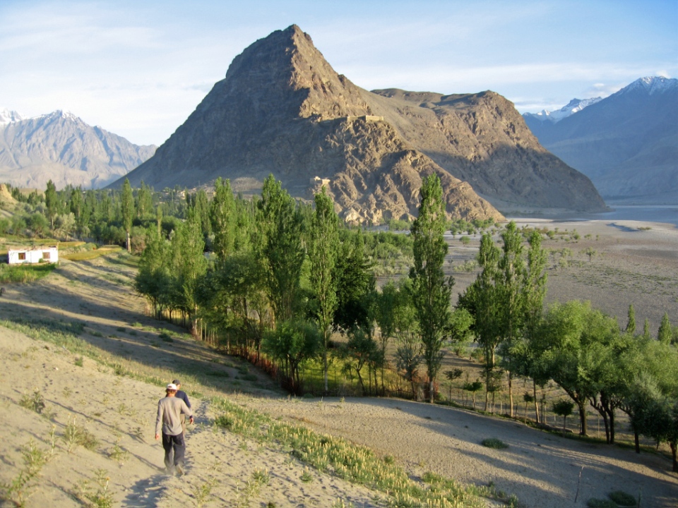
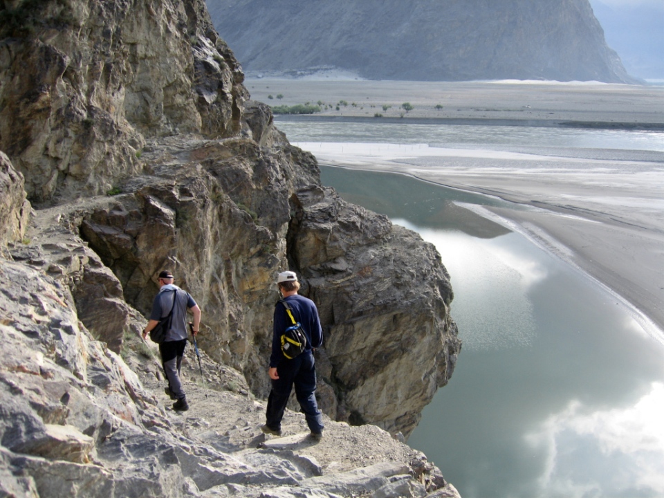
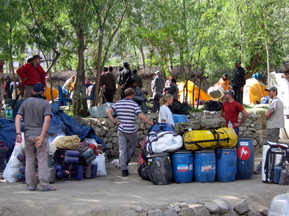
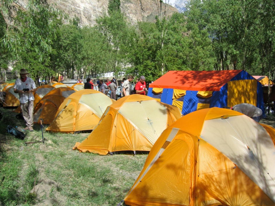
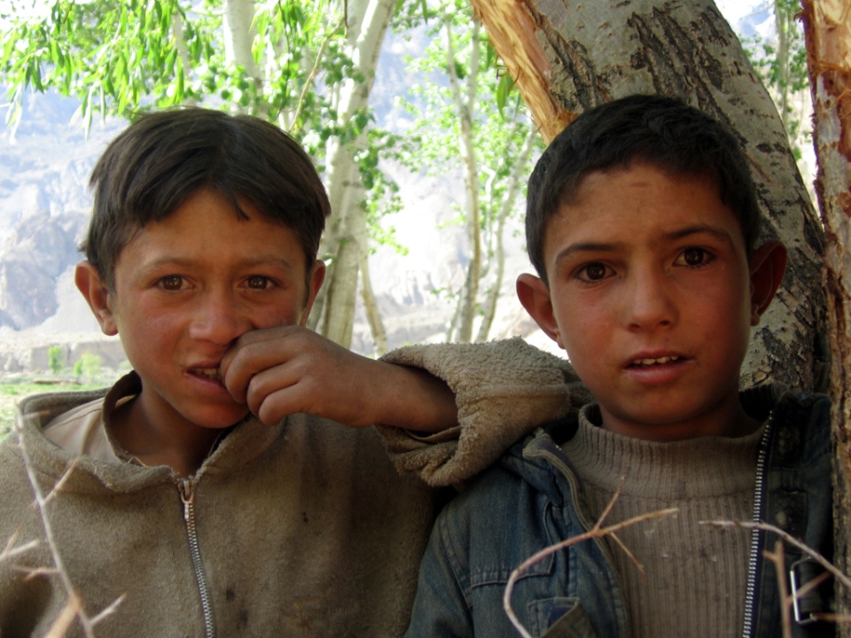
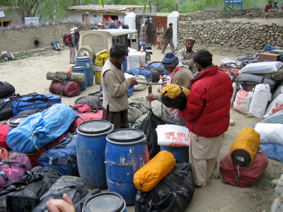
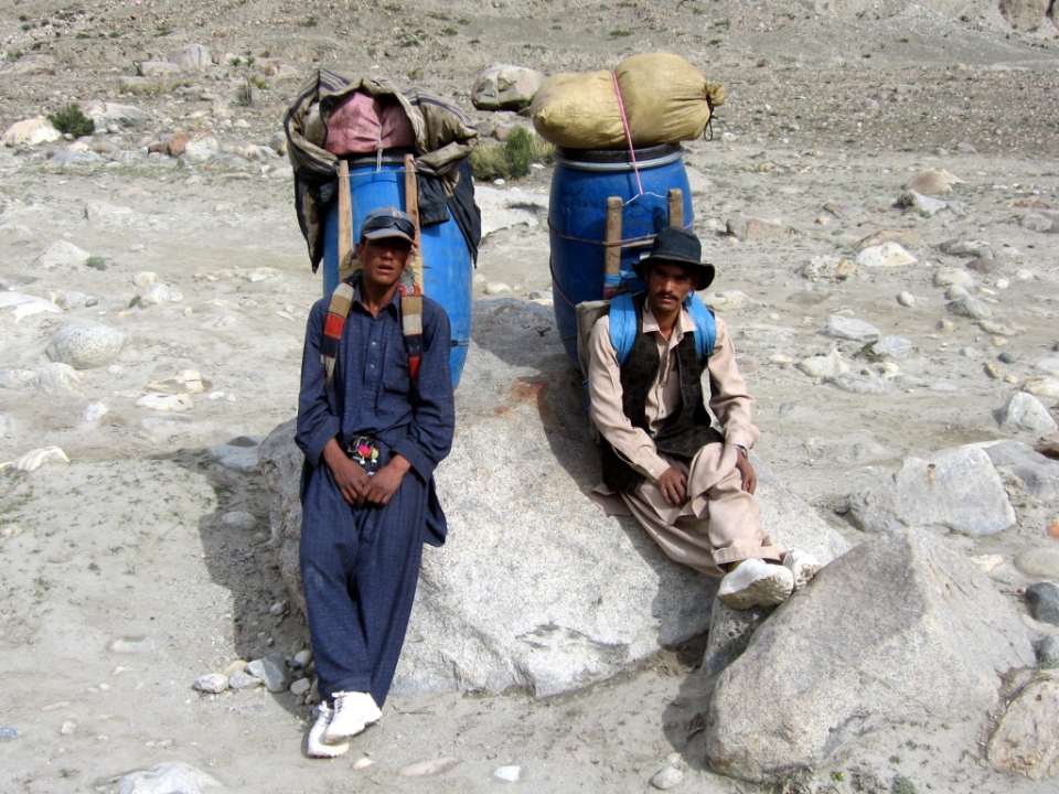
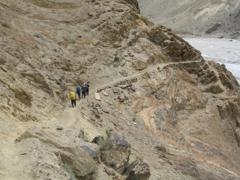
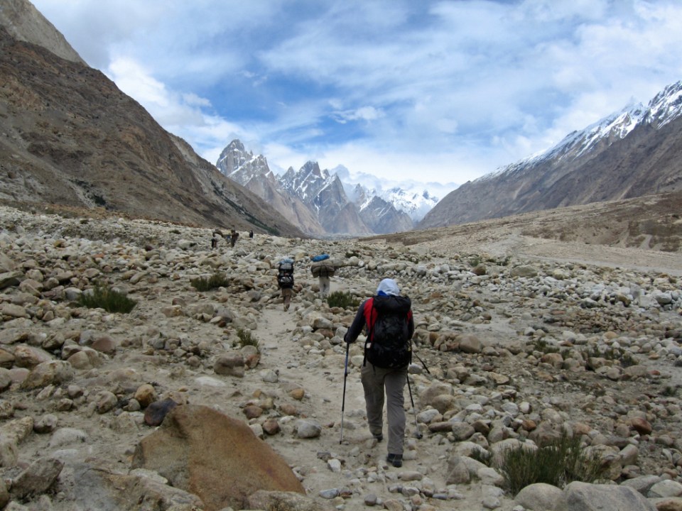
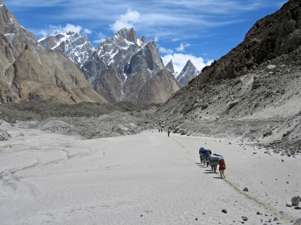
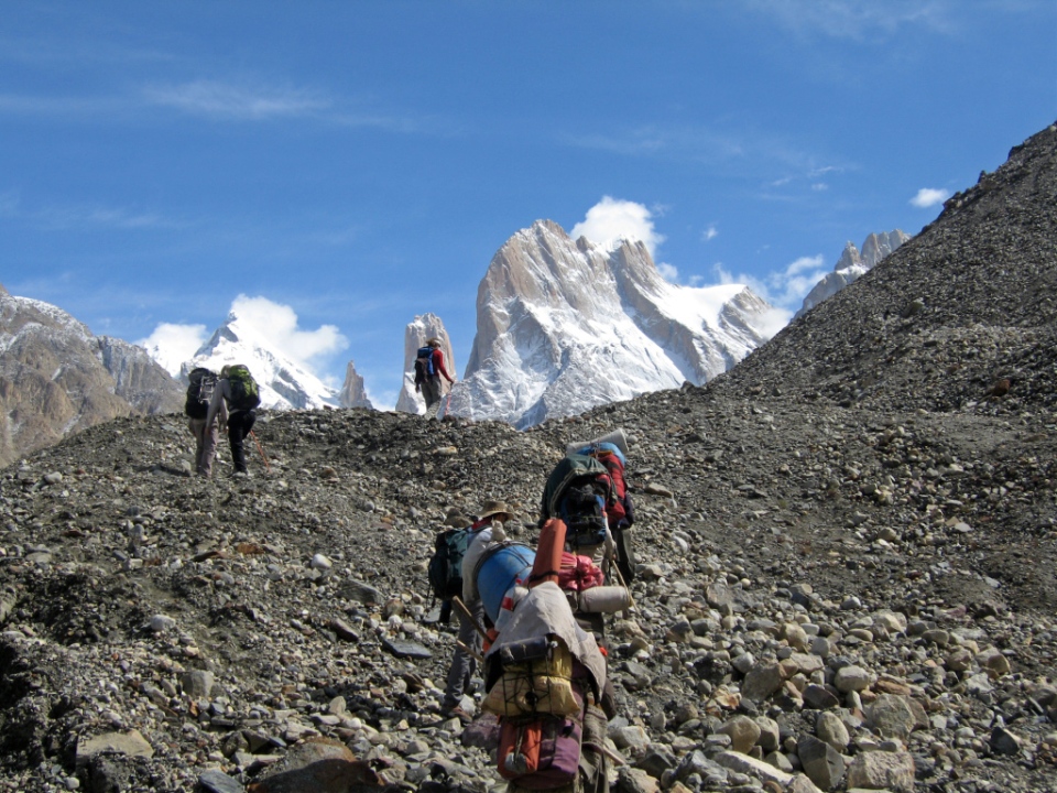
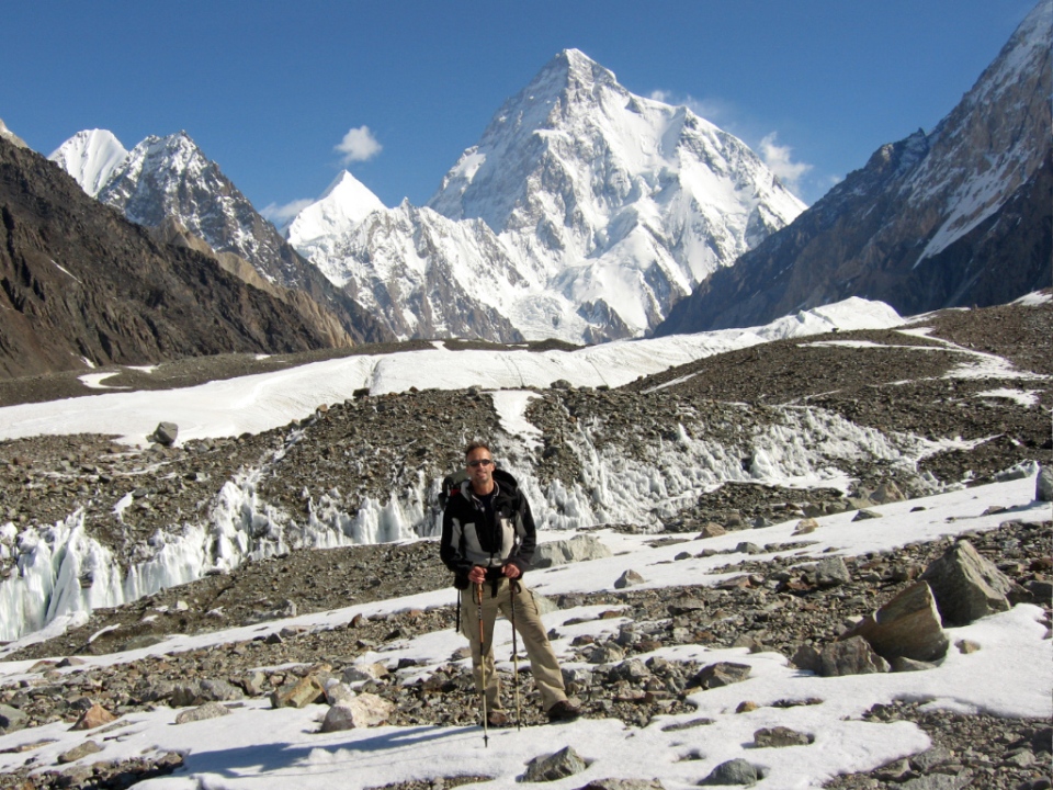
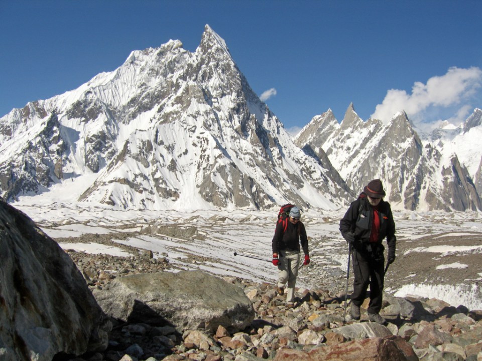
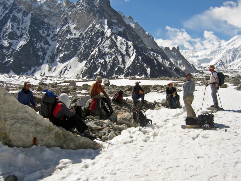
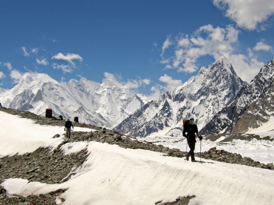
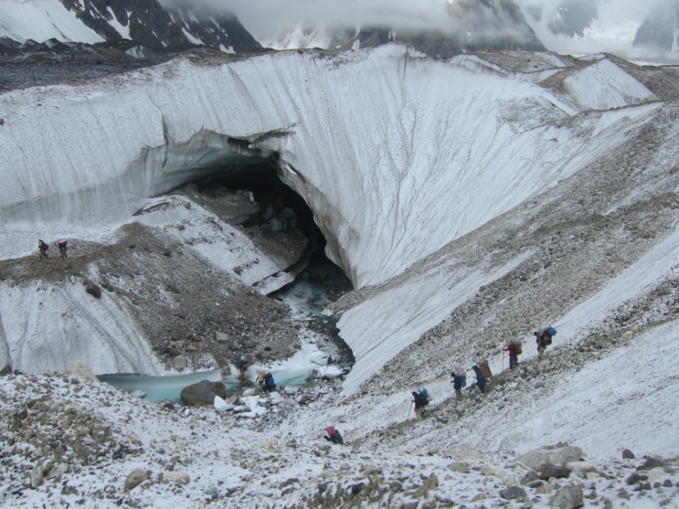
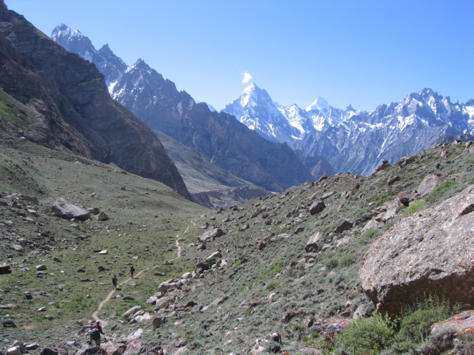
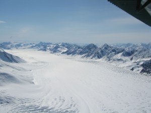
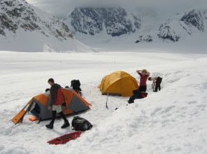
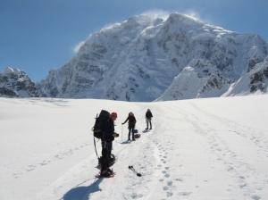
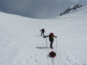
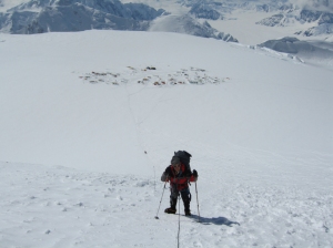
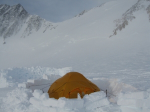
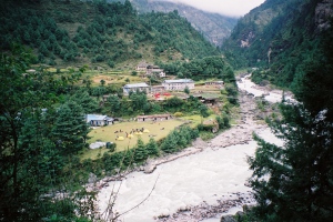
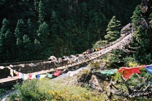
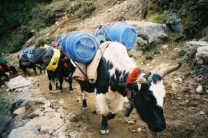
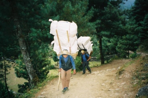
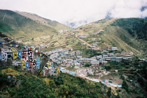
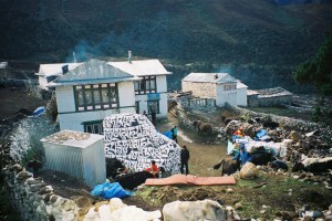
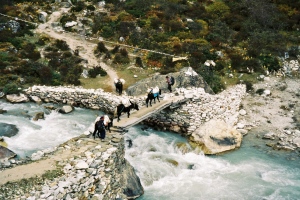
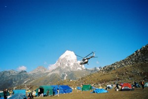
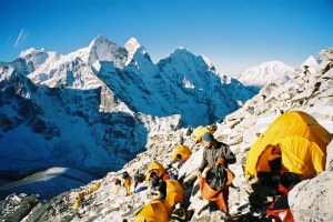
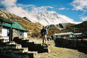
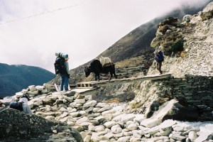
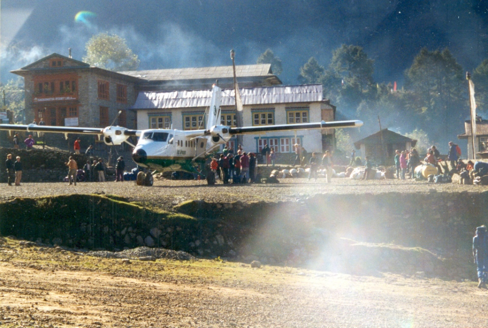
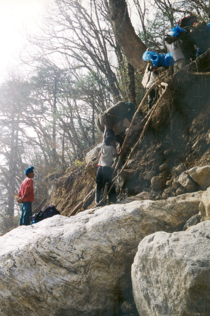
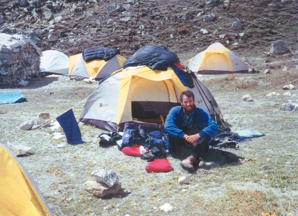
Taplejung was the start of the trek into Kangchenjunga base camp – a place called Pang Pema. We took nine days to walk there and each day typically involves five to seven hours trekking time, by the time we got to base camp we were acclimatising well. It was at Taplejung that Dan our expedition leader and his sirdar Kaji had the Herculean task of organising our army of 80 plus porters. Most of these porters stayed with us until Ghunsa, where the ethnicity of the people change and they become more Tibetan. From here onwards a lot of our gear was transported on yaks. The overnight stops on the trek in where at the following places, sometimes we camped and other times we used the lodges in the villages.
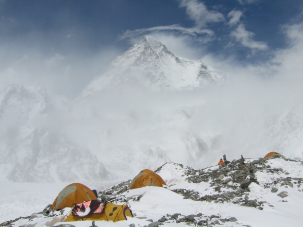
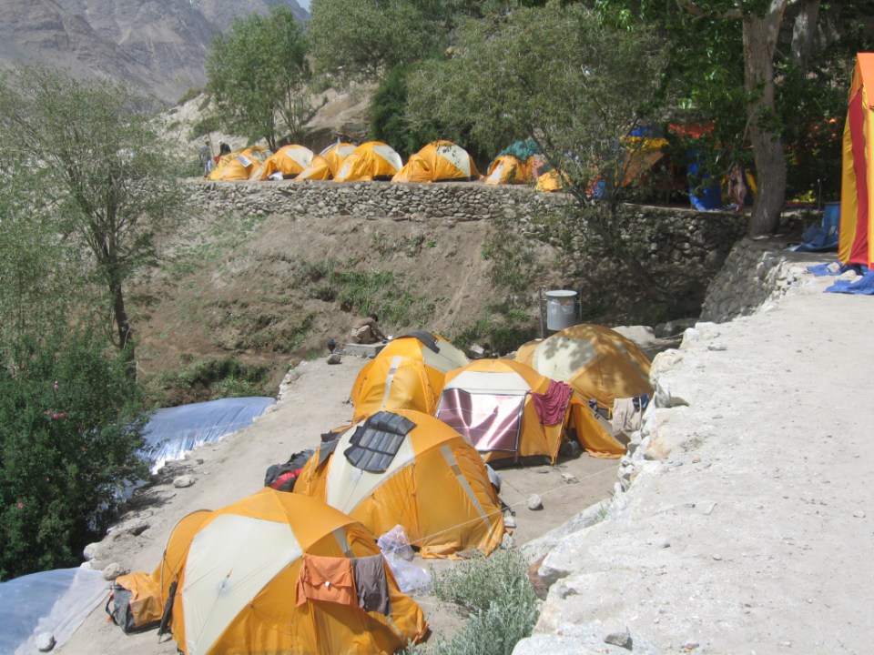
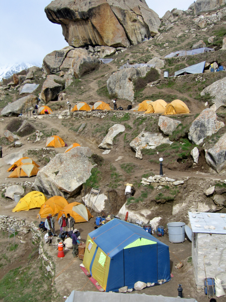
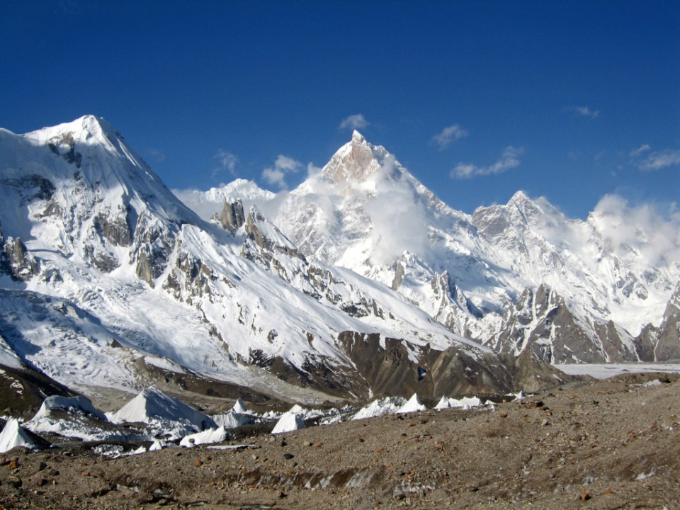
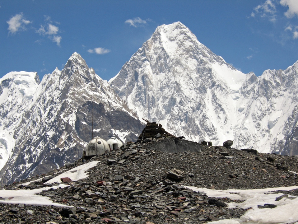
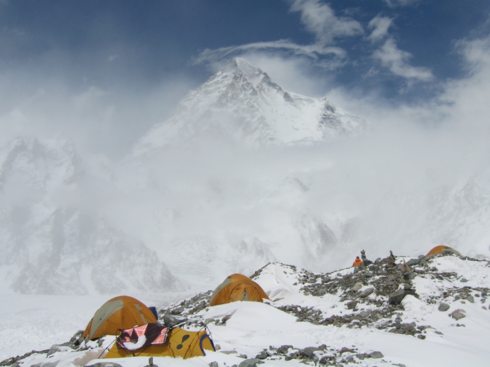
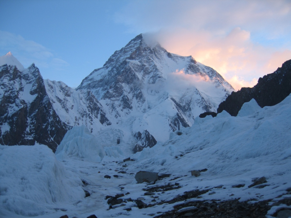
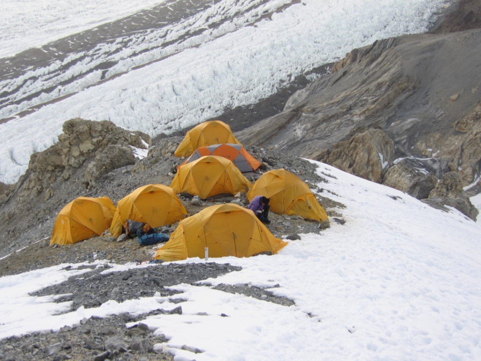
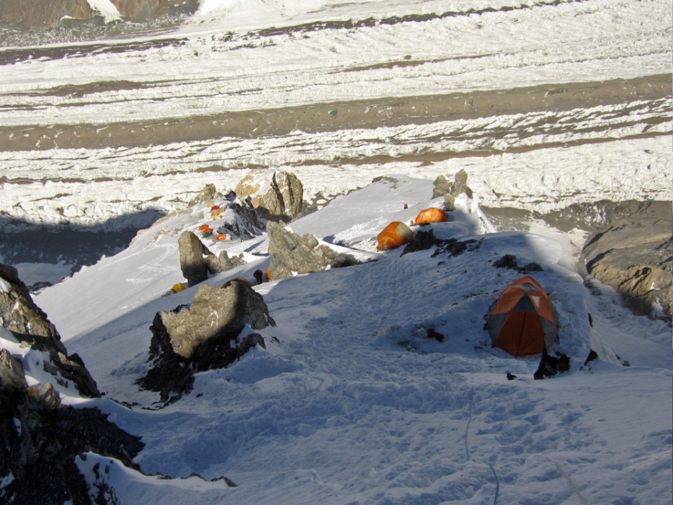
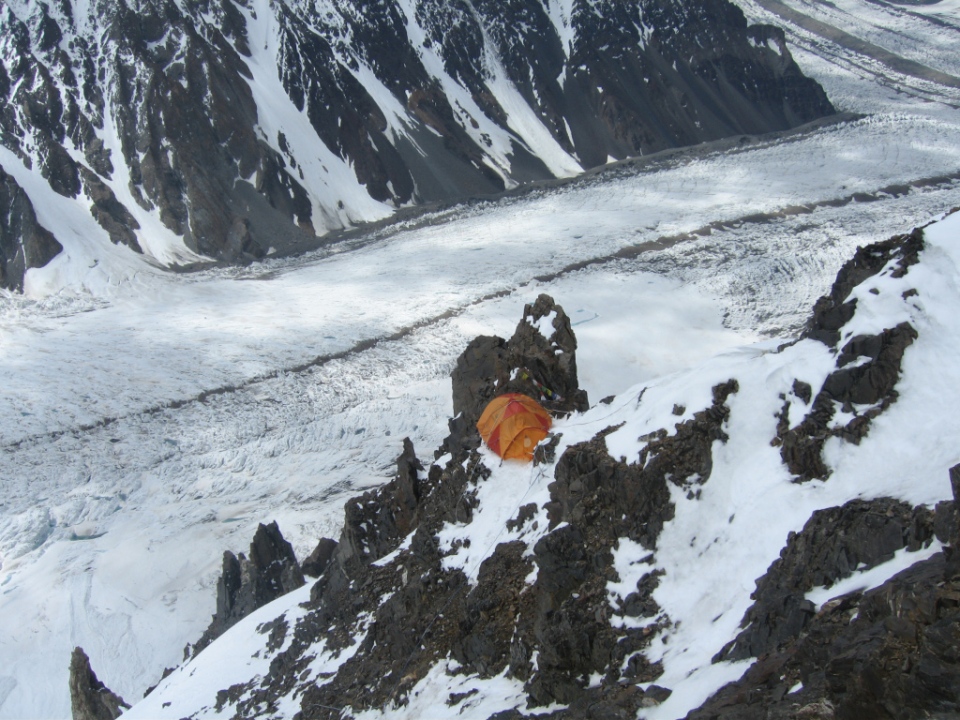
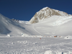
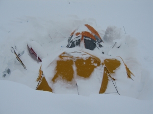
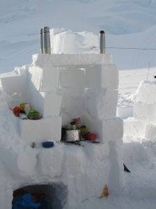
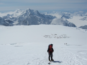
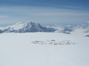
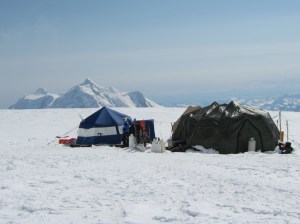
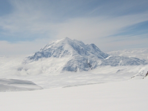
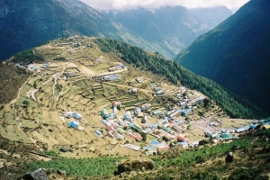
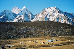
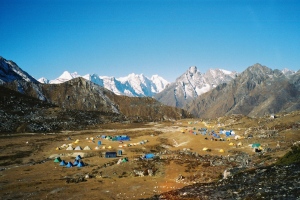
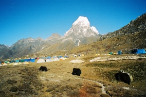
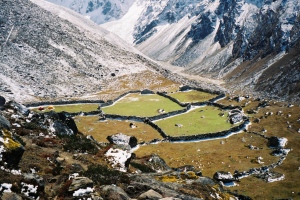
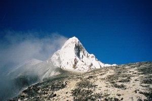
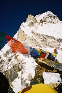
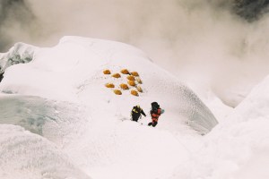
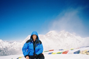
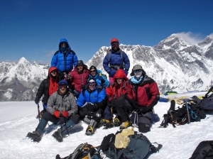
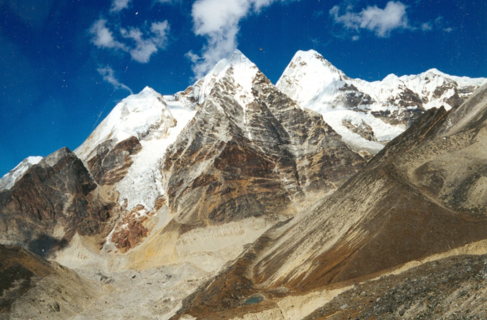
Kangchenjunga base camp at Pang Pema (photo Steve Dodson)
- Mitlung (905m)
- Chirwa (1270m)
- Sekathom (1750m)
- Amjilassa (2490m)
- Gyabla (2700m)
- Ghunsa (3380m)
- Kangbachen (4000m)
- Lhonak (4650m)
- Pang Pema (5100m)
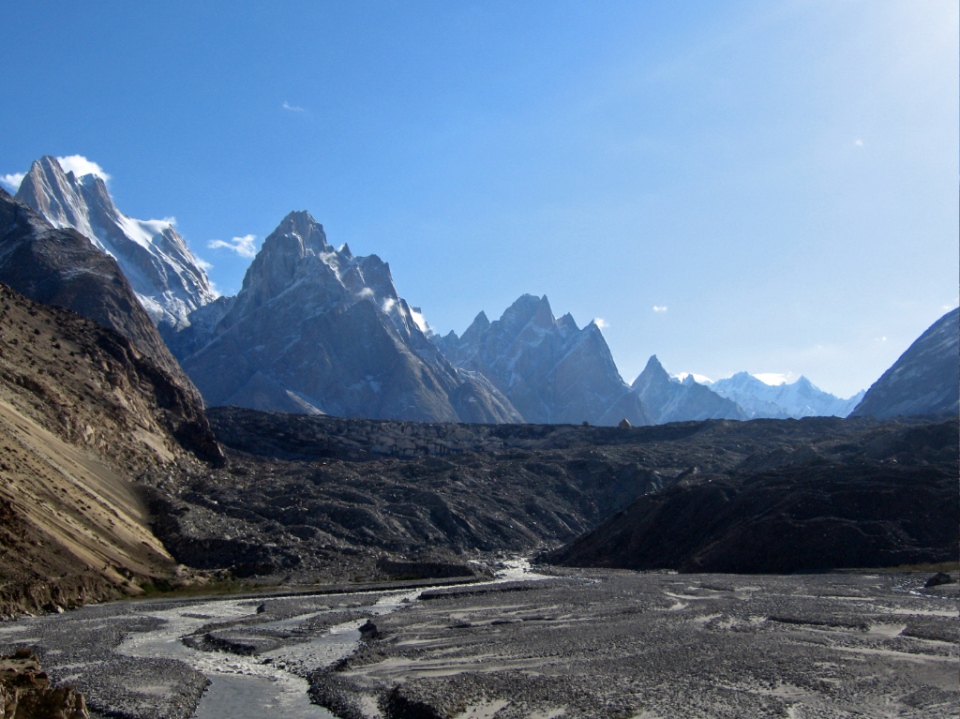
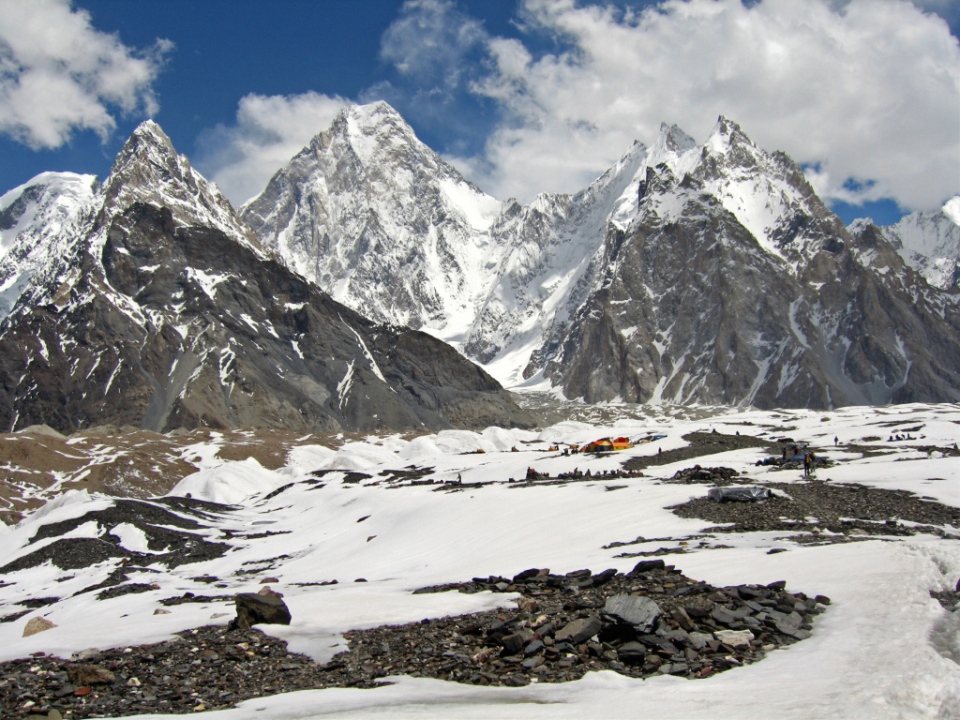
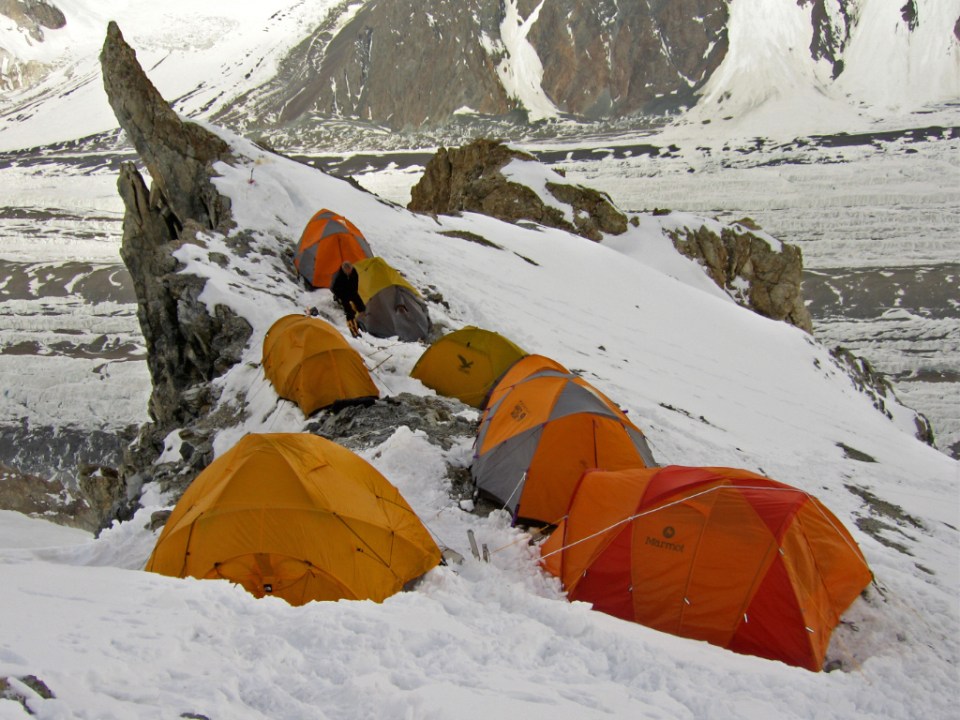
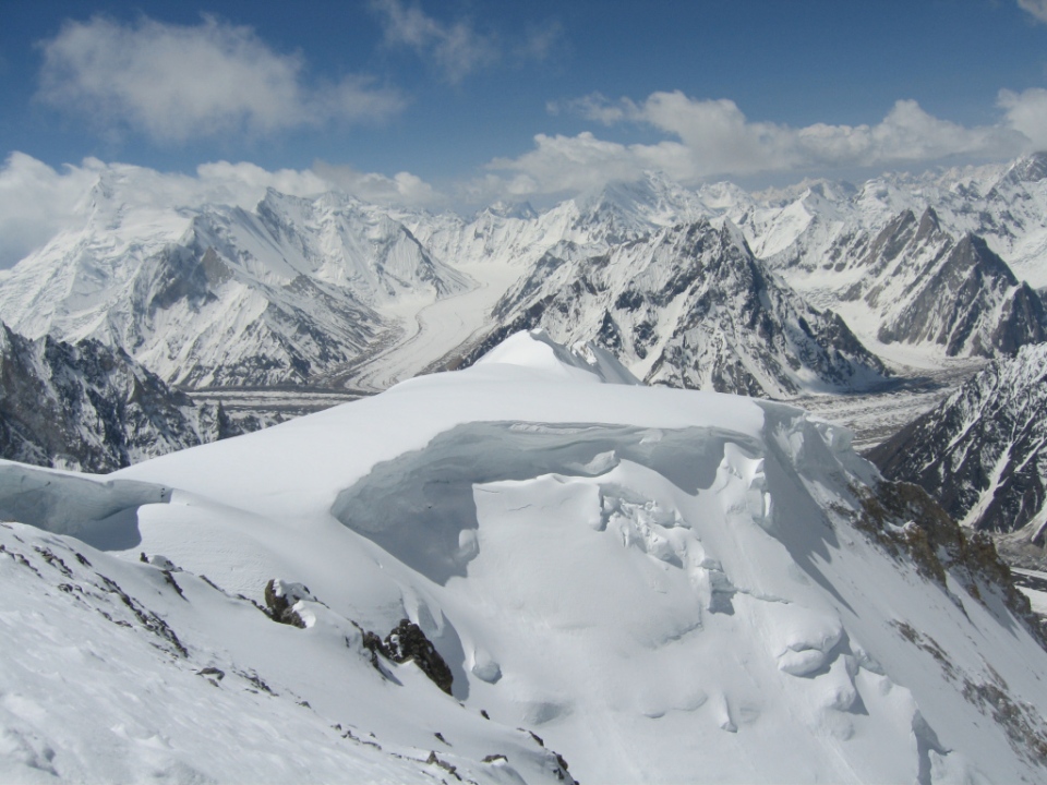
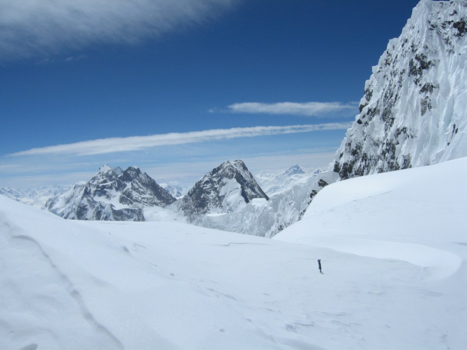
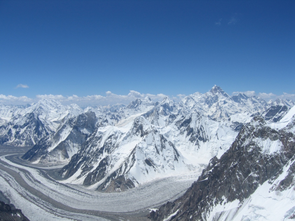
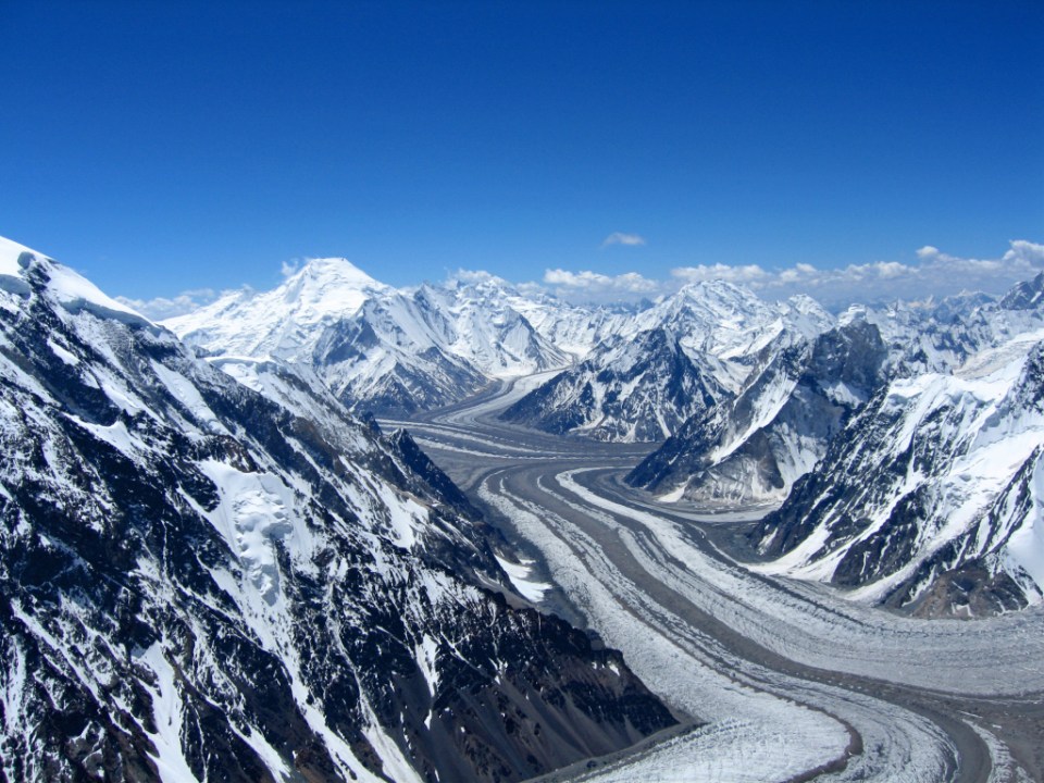
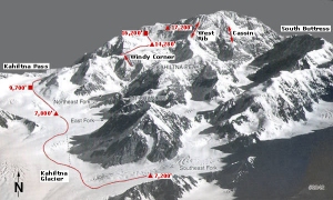
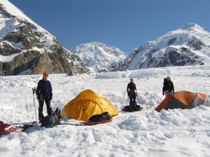
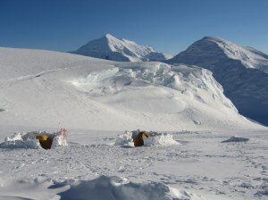
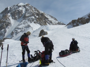
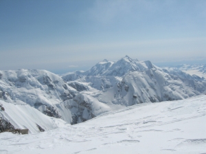
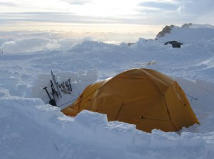
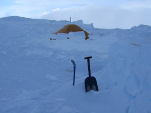
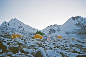
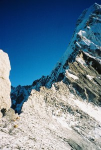
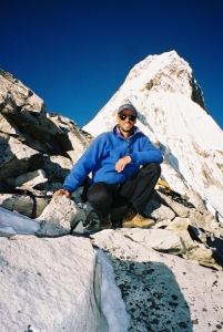
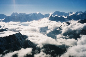
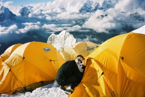
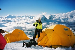
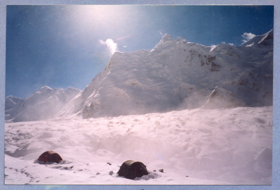
Pang Pema was our home for the next 40 days and gave access to the giant north face of Kangchenjunga.
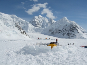
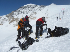
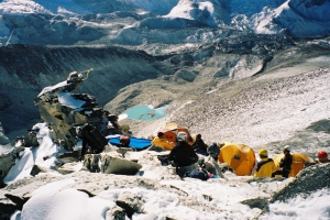
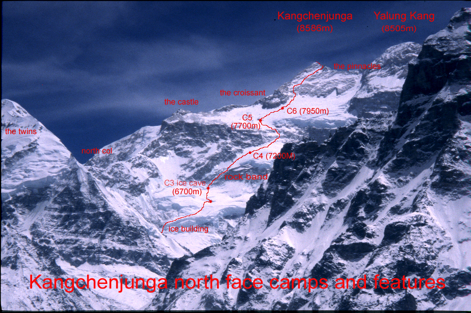
- Advanced base camp (5350m) From base camp we actually had to

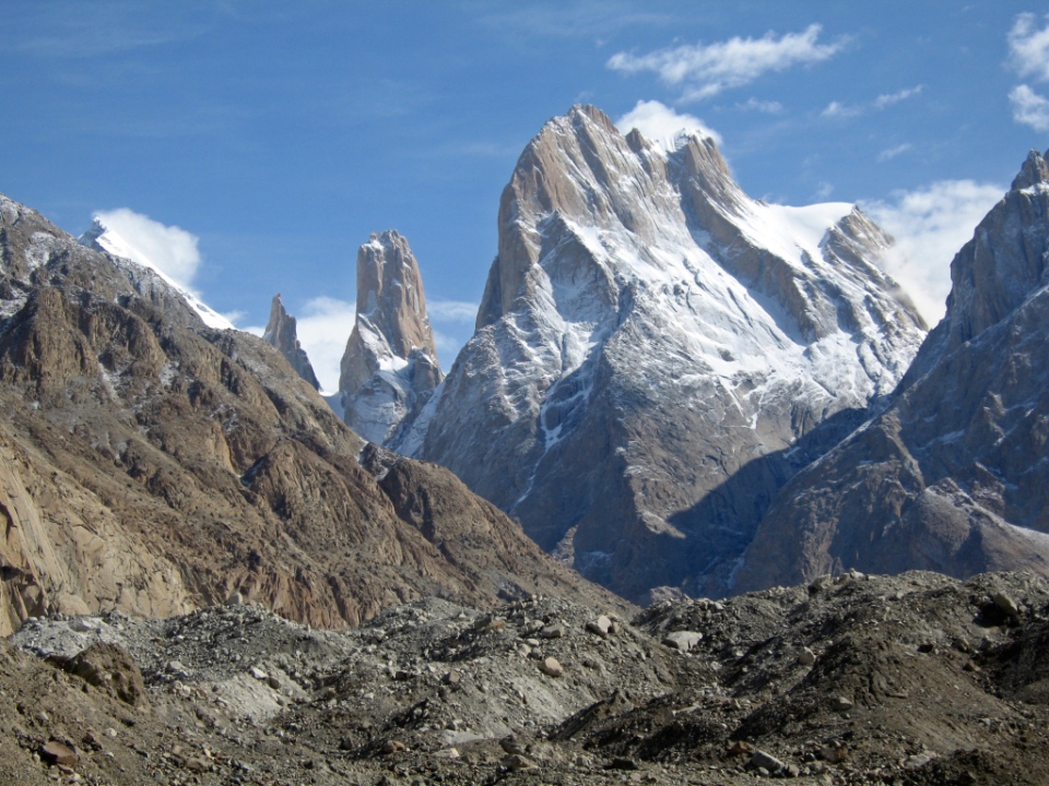
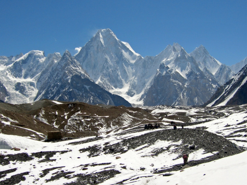
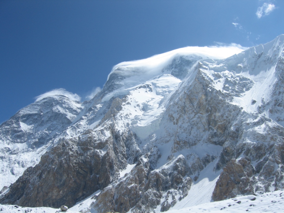
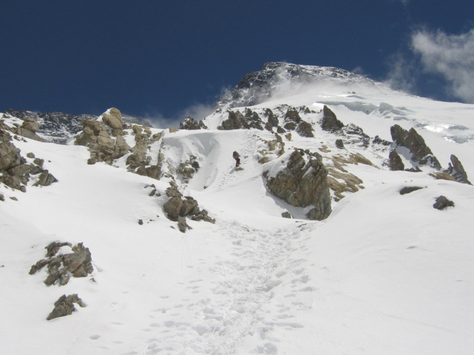
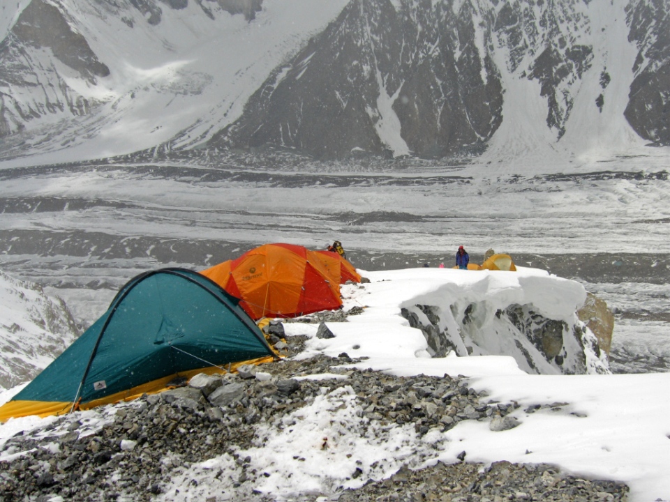
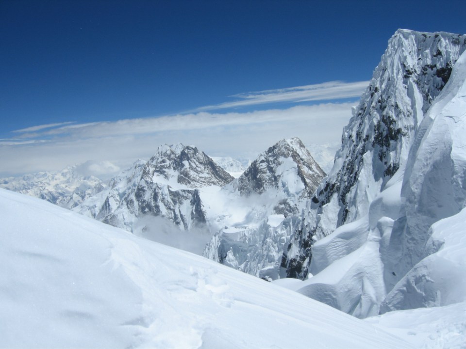
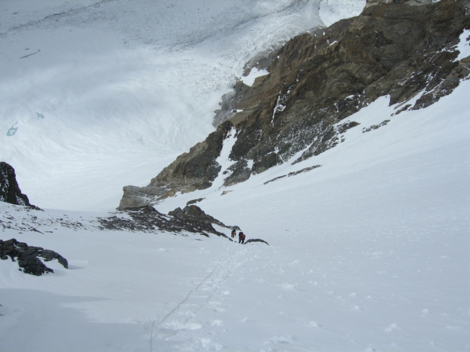
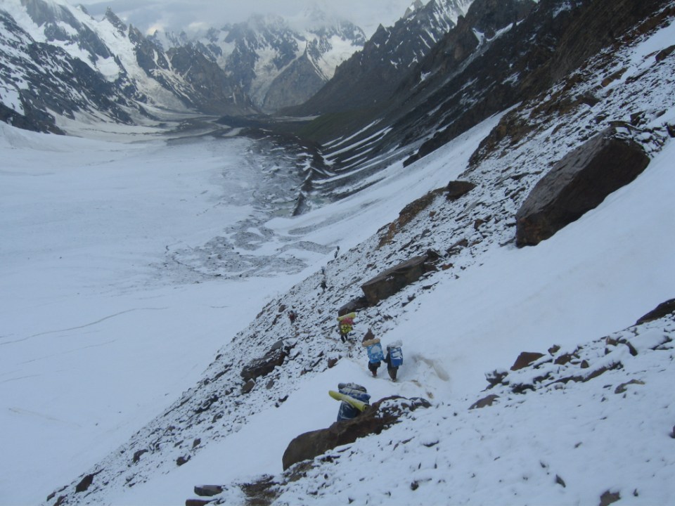
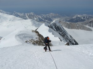
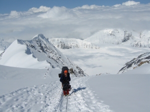
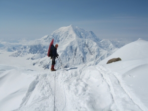
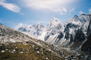
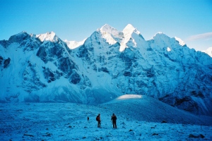
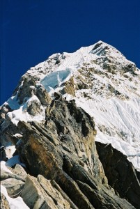
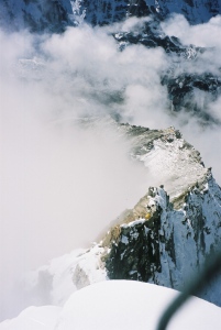
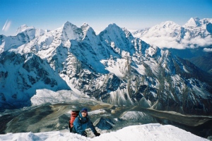
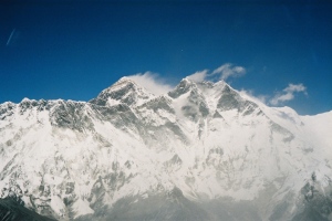
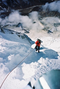
Kangchenjunga lower camps from the rock band
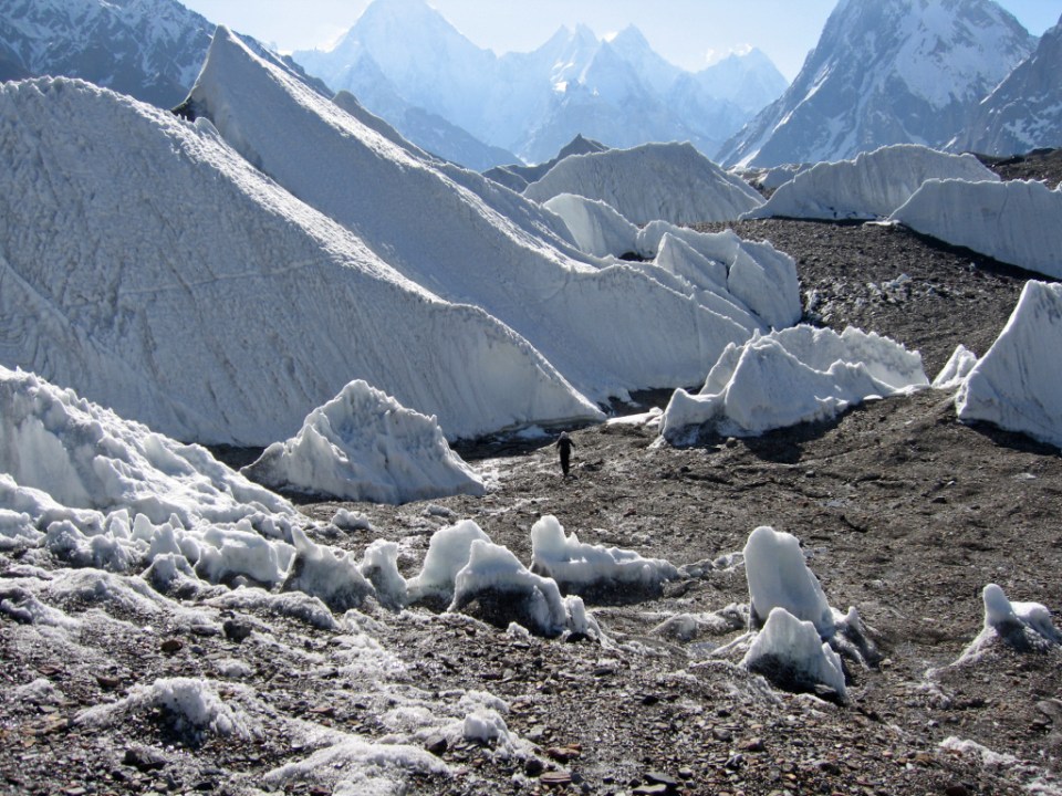
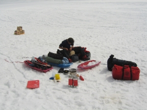
drop down to cross a large moraine area before gaining access to the Kangchenjunga Glacier itself, then it was a trek up to the head of the glacier to the tent, mainly used as a storage dump.
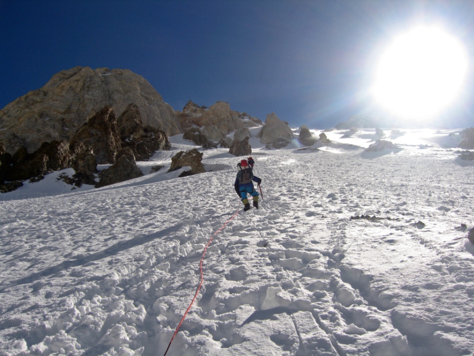
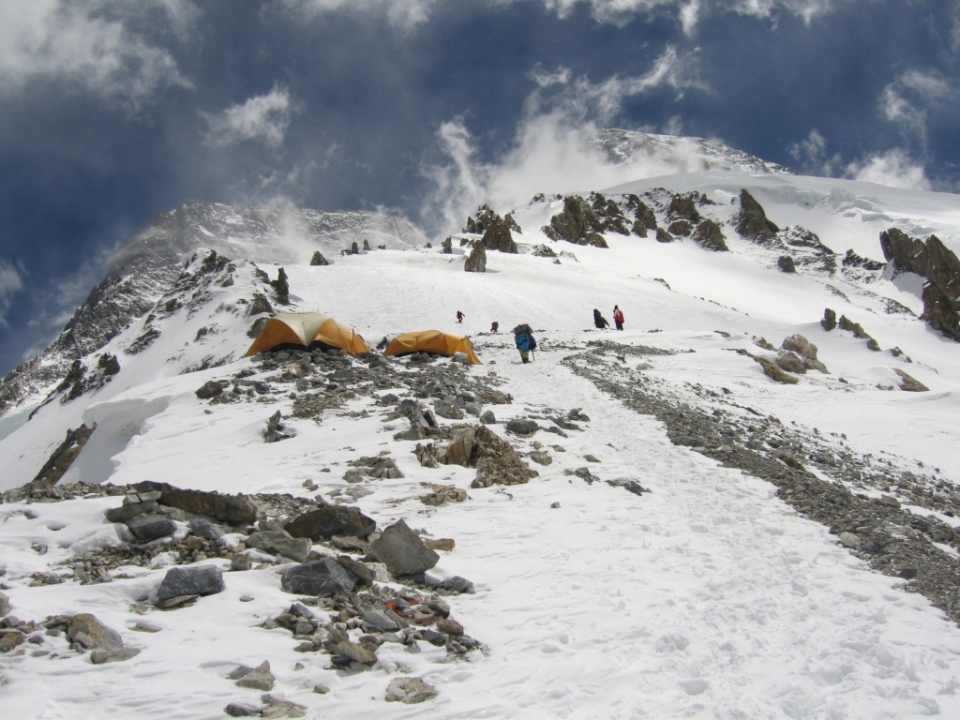
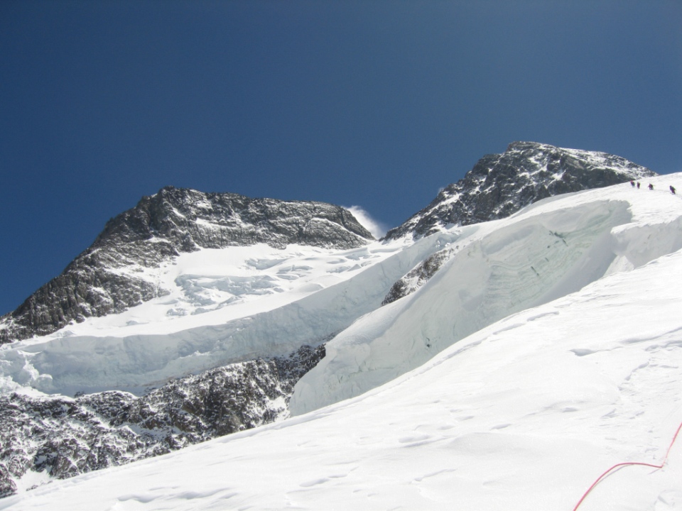
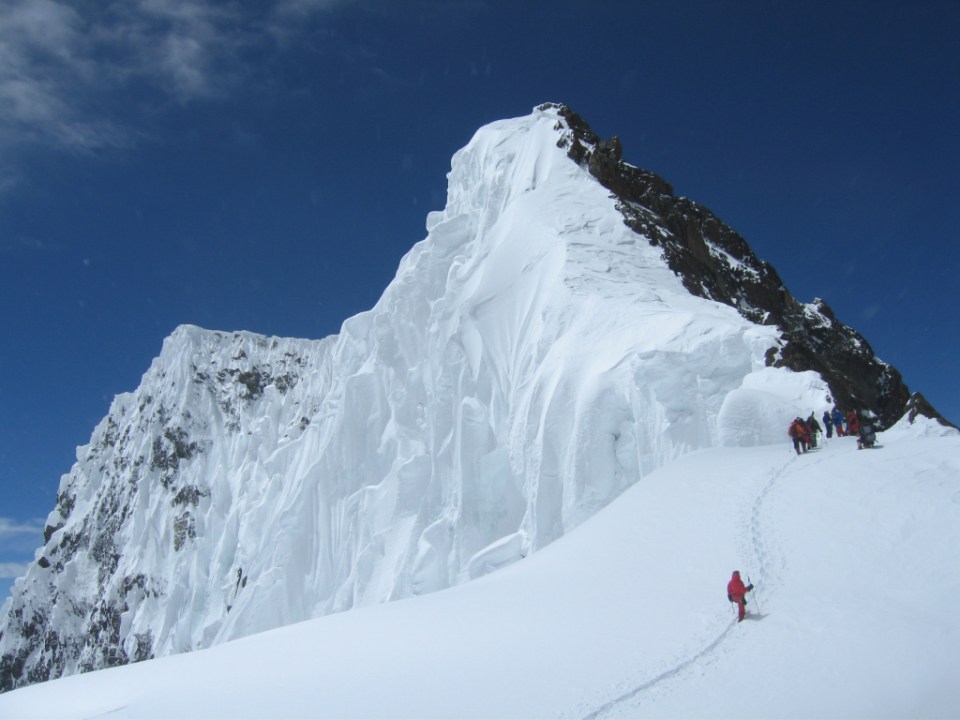
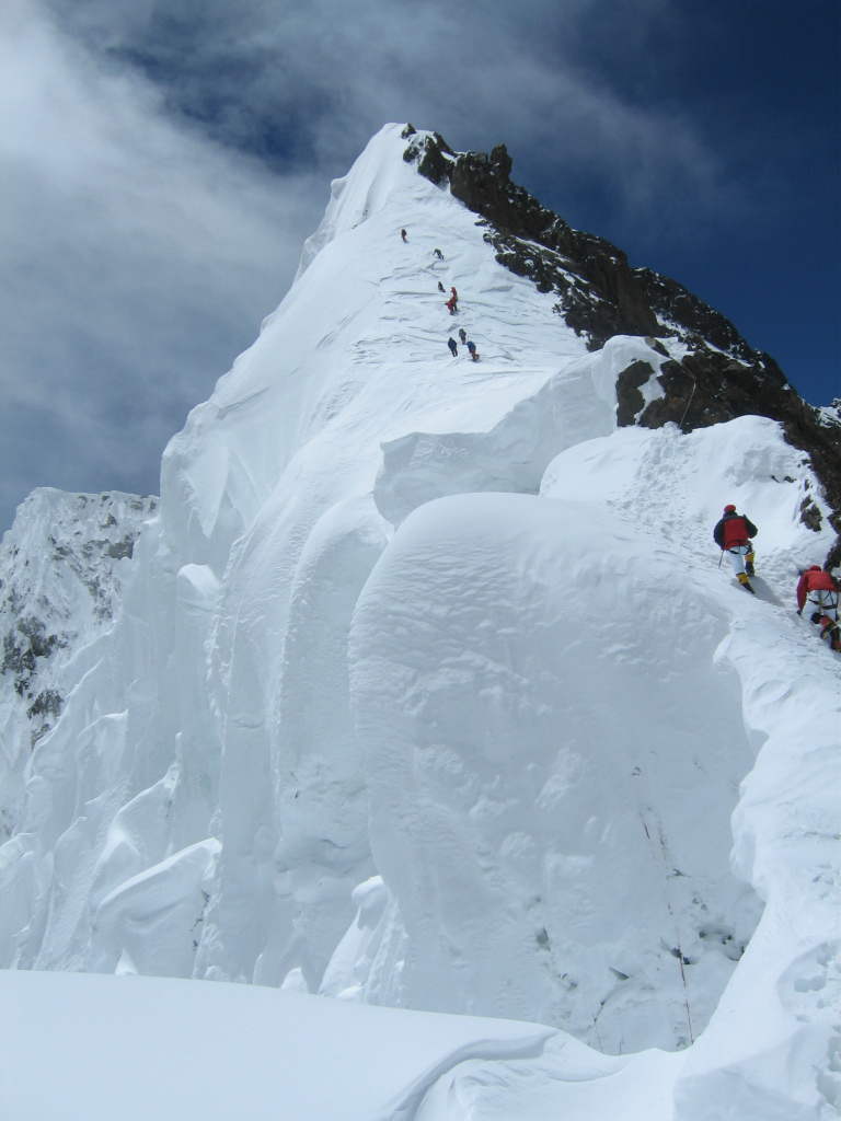
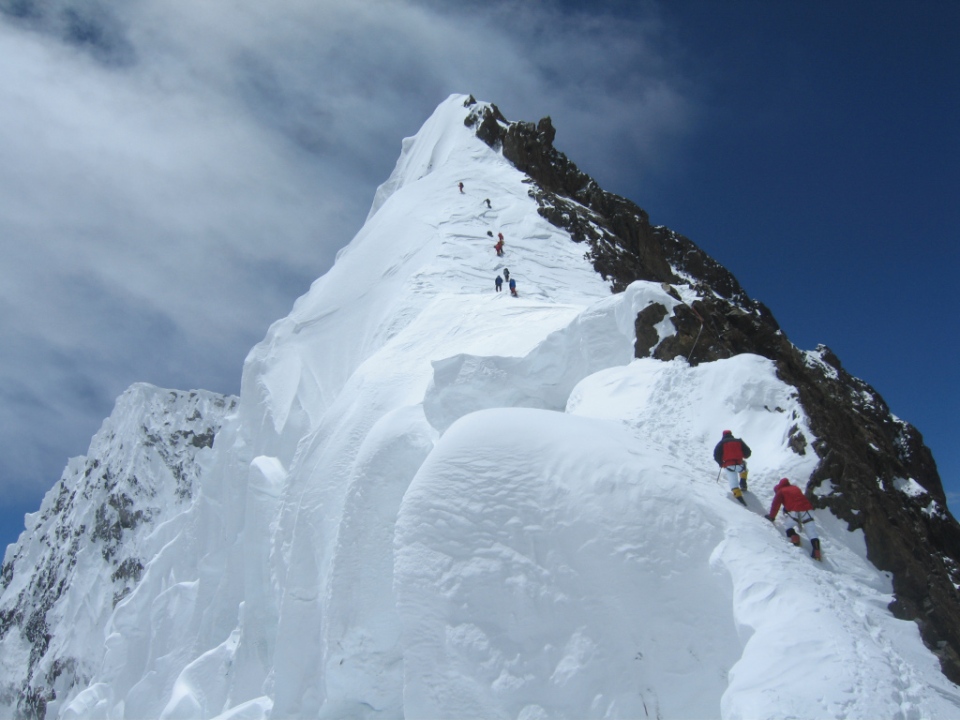
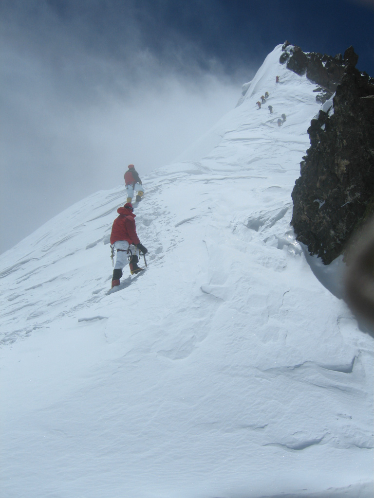
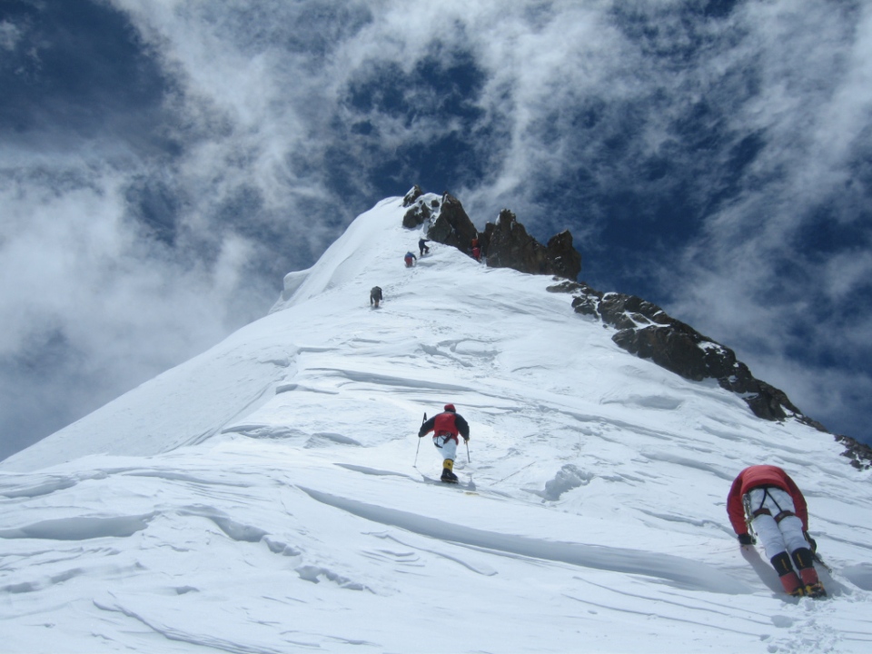
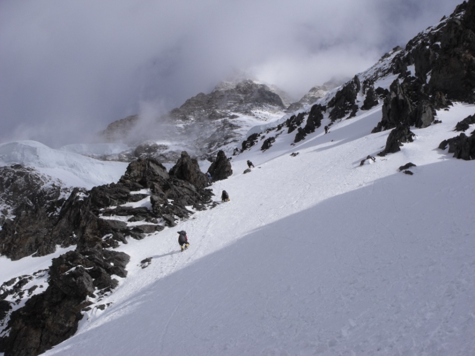
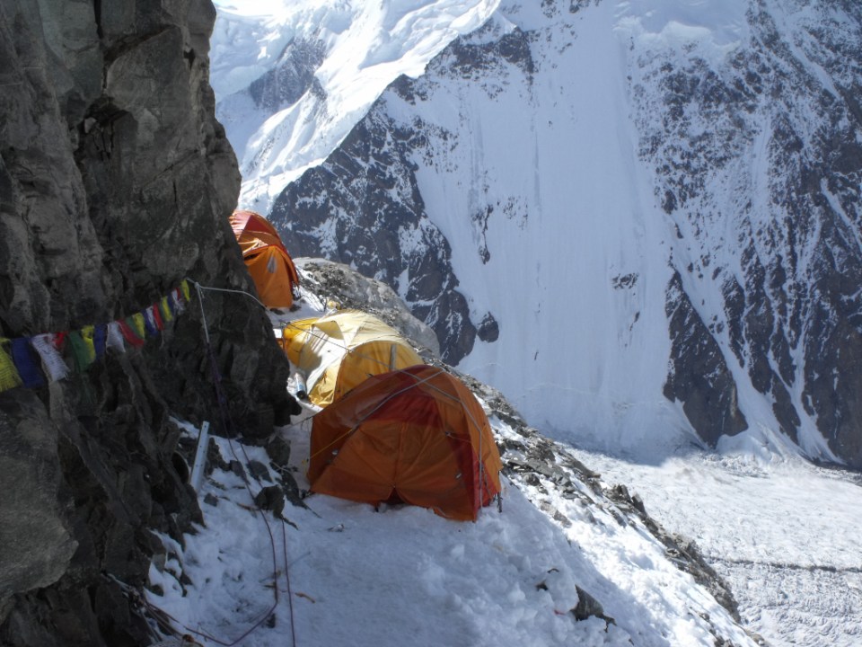
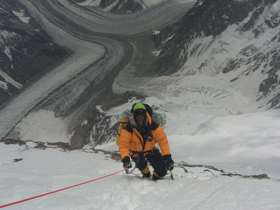
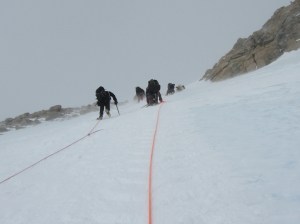
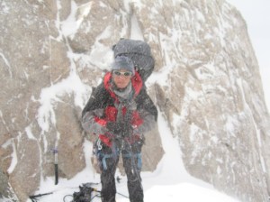
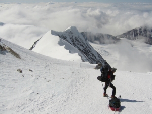
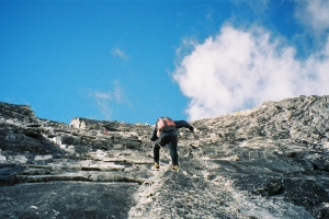
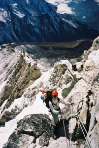
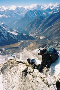
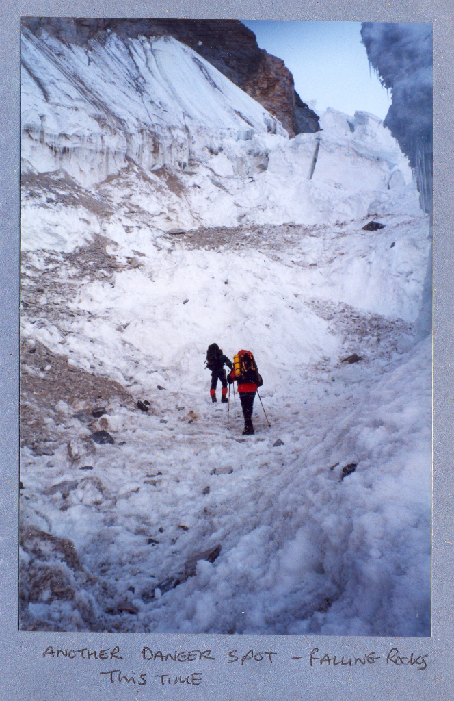
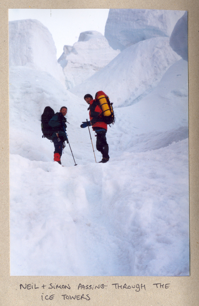
- Camp 1 (5700m) We struggled to find the best way up to camp 1 at first, choosing a slightly dangerous way to begin with, past over-hanging seracs, after a while we found a much safer route up the side of an ice-fall.
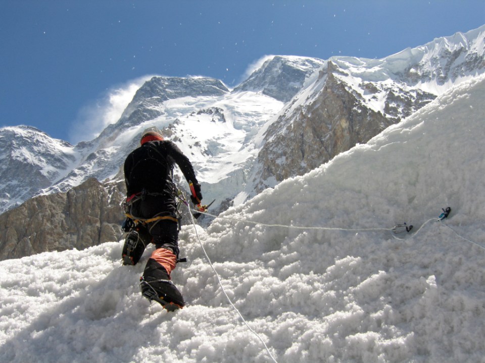
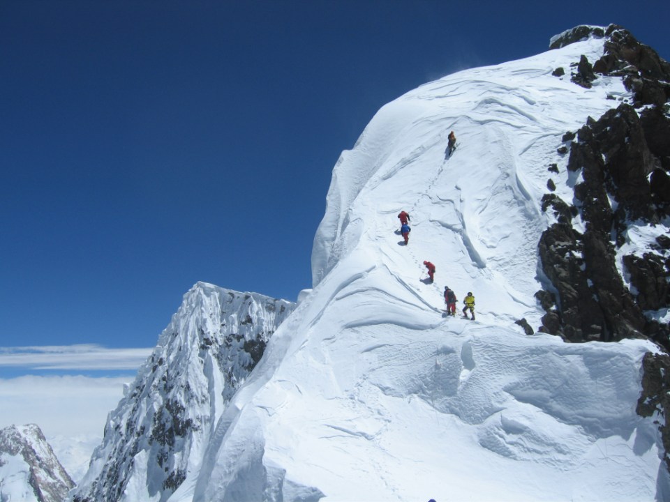
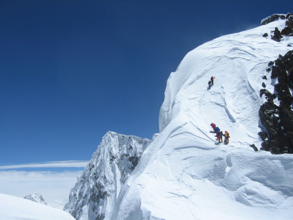
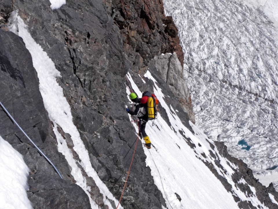
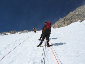
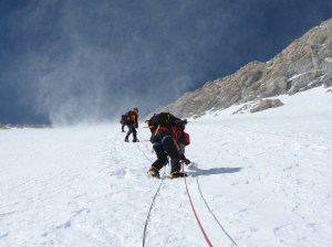
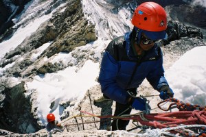
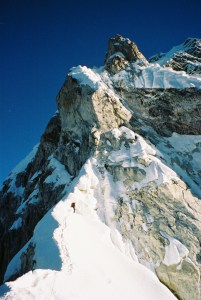
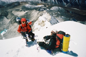
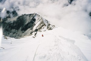
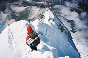
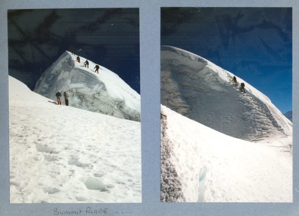
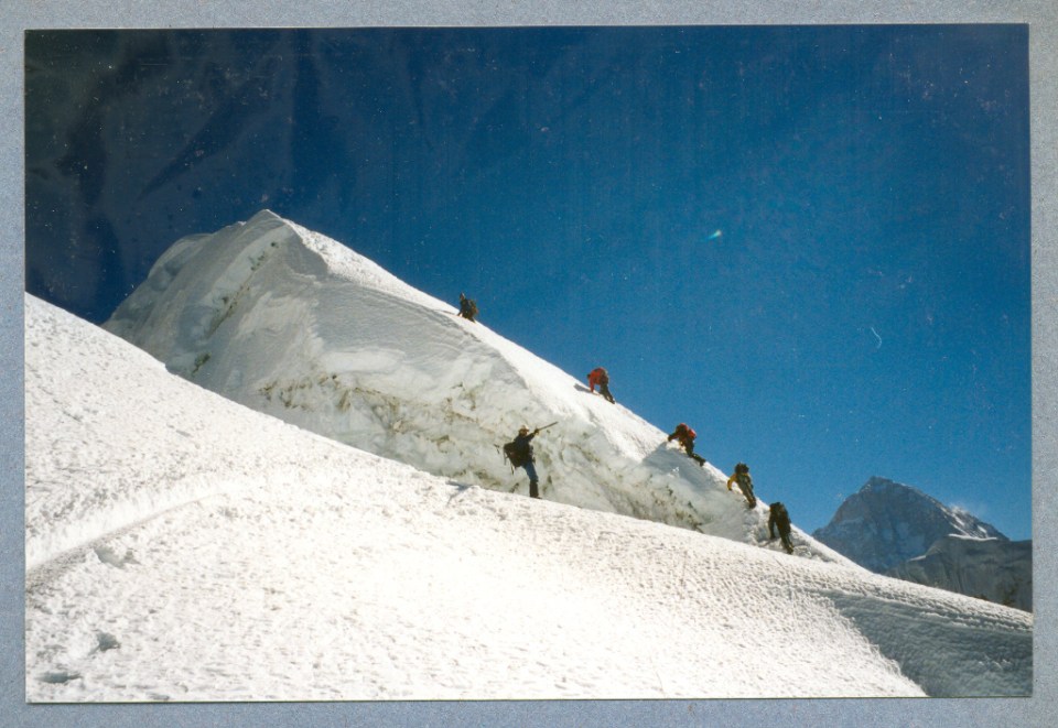
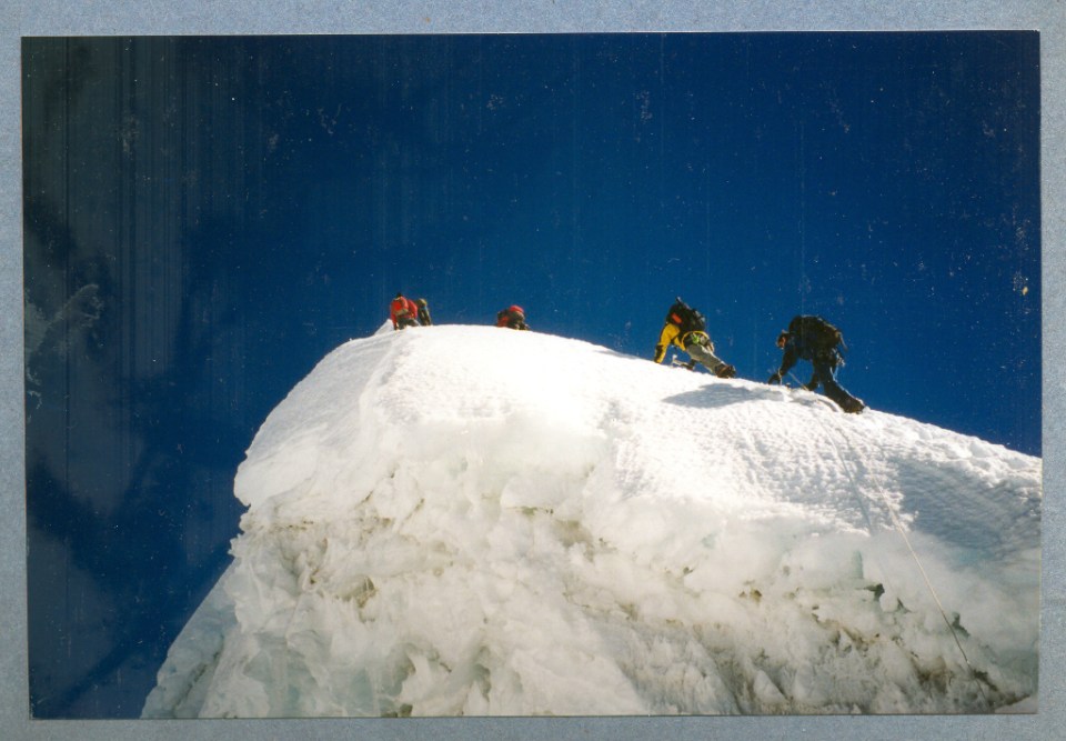
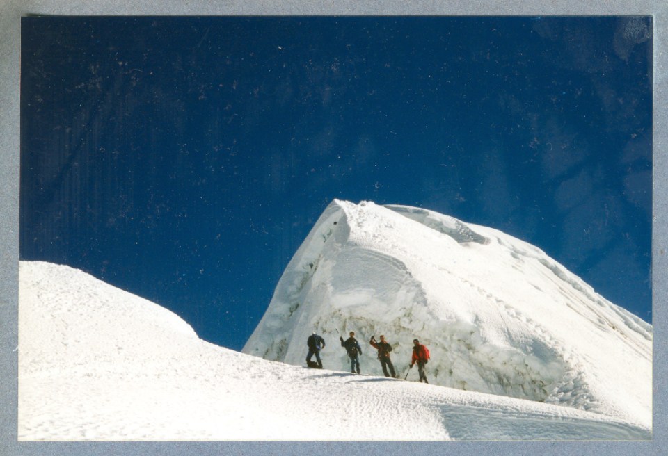
- Camp 2 (6500m) This involved the first proper climbing and was up a feature called the “ice building”. It was a snow/ice couloir about 300m long at about 40-50 degrees steep, it was dangerous though because it was a natural funnel for the hanging glaciers above.
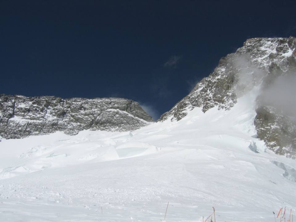
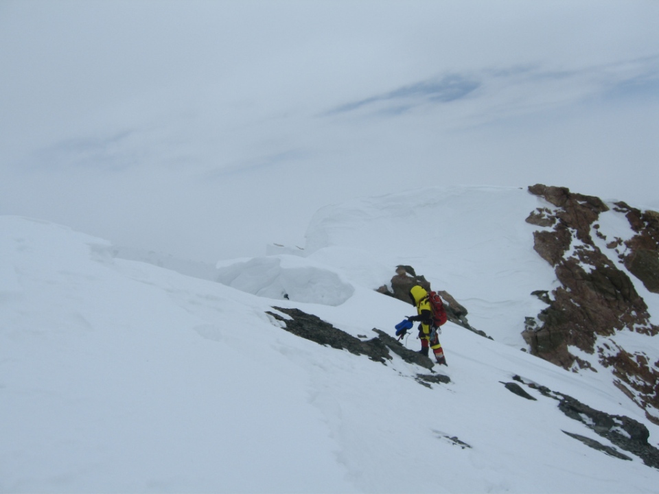
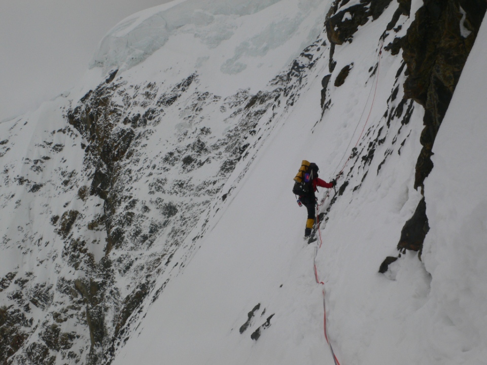
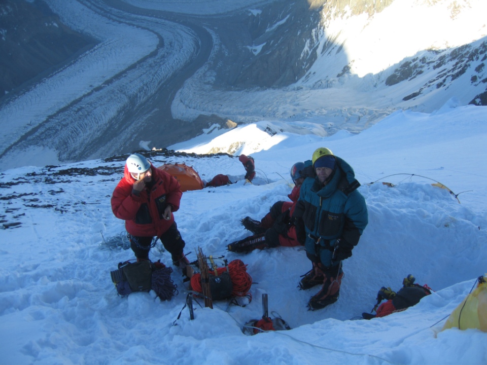
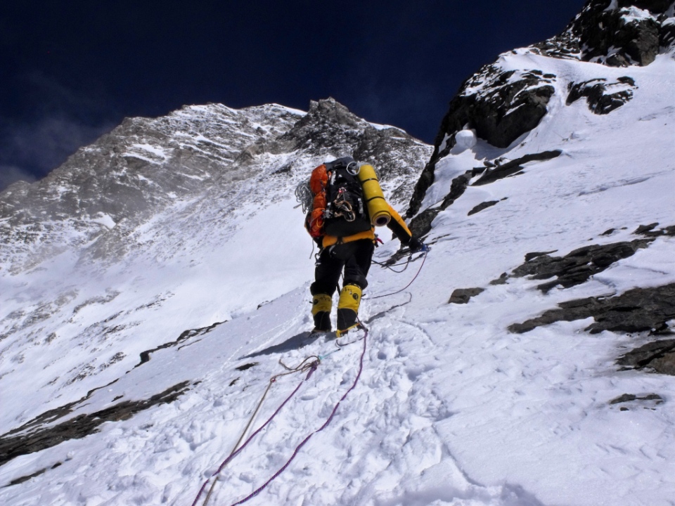
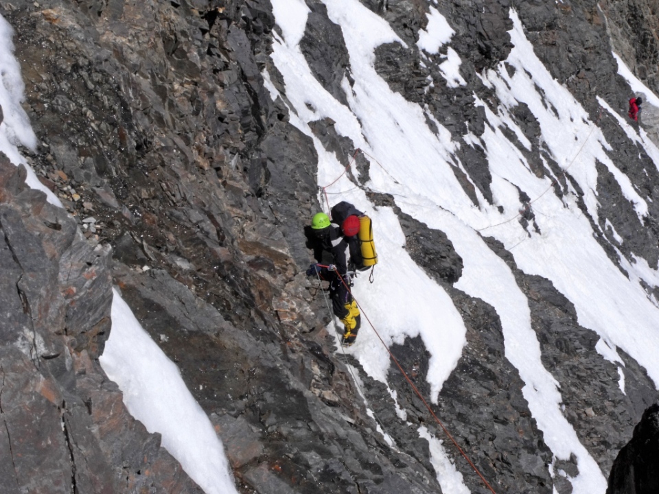
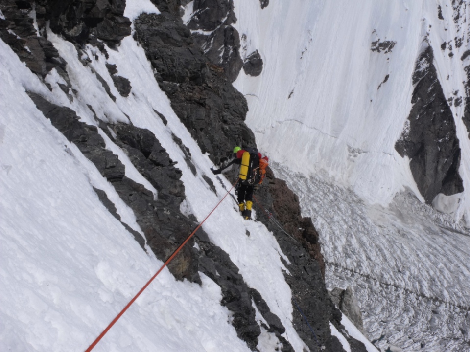
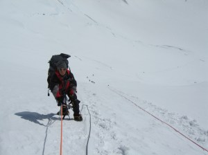
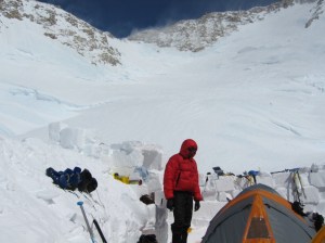
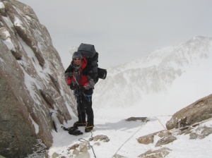
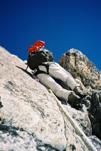
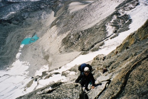
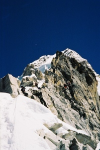
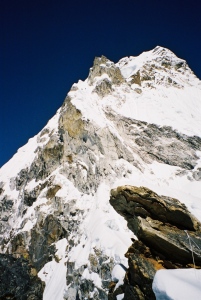
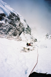
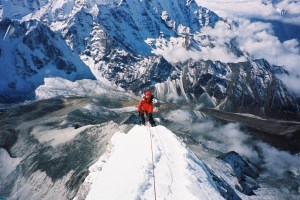
- Camp 3 (6700m) This camp site was actually in an ice cave, right at the base of the fearsome rock-band. The climb from camp 3 through the rock-band to camp 4 was the crux of the whole expedition and involved hard technical climbing on ice and rock and took us to over 7000m, Ivan, Julio, Felix, Chris, Stu and Janbu deserve a lot of credit for fixing the rope in this dangerous section of the climb. Another problem was that the fixed lines kept melting

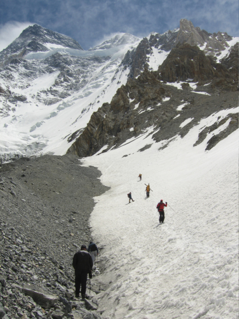
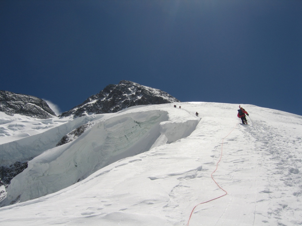
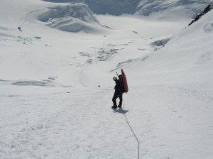
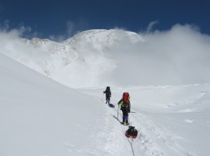
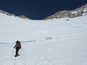
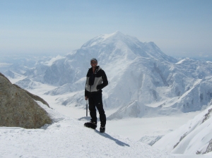
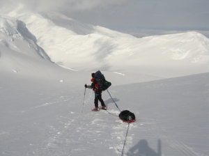
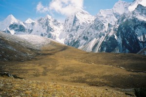
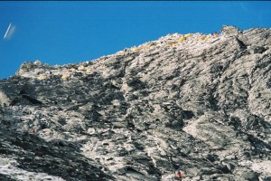
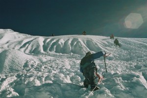
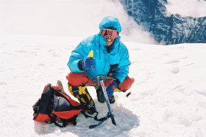
Climbing to camp 2 via the “Ice Building” (about 6100m)
into the ice during sunny days and then freezing solid overnight, making it very hard to get them out without damaging them when climbing.
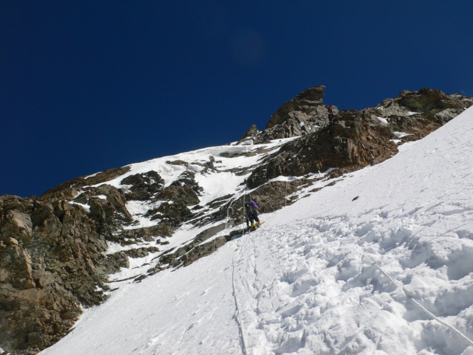
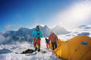
- Camp 4 (7200m) Situated about 200m above the rock band on much easier ground.
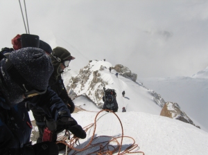
- Camp 5 (7700m) At the end of a snow plateau from camp 4 a couloir lead up to another snow field and camp 5 was next to some prominent boulders. Dan, Janbu, Felix and Galu made their first summit bid from here, they got as far as a feature called the Croissant at about 8000m before they were forced back by the weather. Dan and Janbu returned to camp 5 while Felix and Galu retreated to base camp. Two days later Dan and Janbu tried to summit for the second time but again the wind was too strong and they had to come down too.
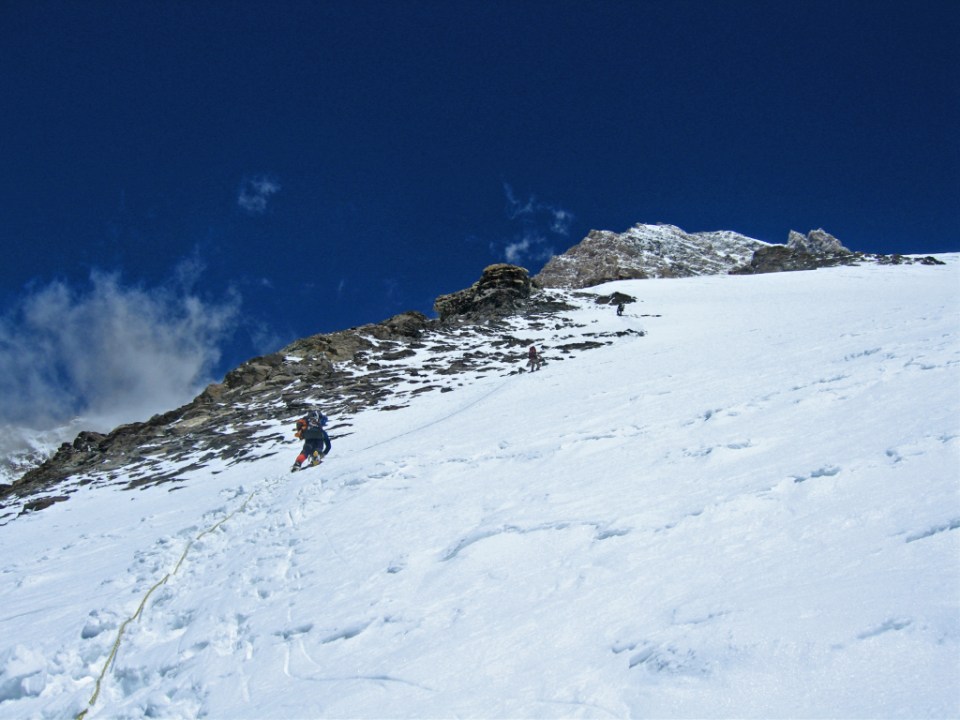
- Camp 6 (7950m) The next group of climbers were on the way up the mountain by now and on the 22nd May, Mike , Paul, Stu and Chris climbed through the rock band again and stayed at camp 4. The next day Chris and Stu headed up to camp 5, they picked up a small tent and kept going to just about the base of the Croissant and camped there at about 7950m. Paul and Mike headed up to camp 5

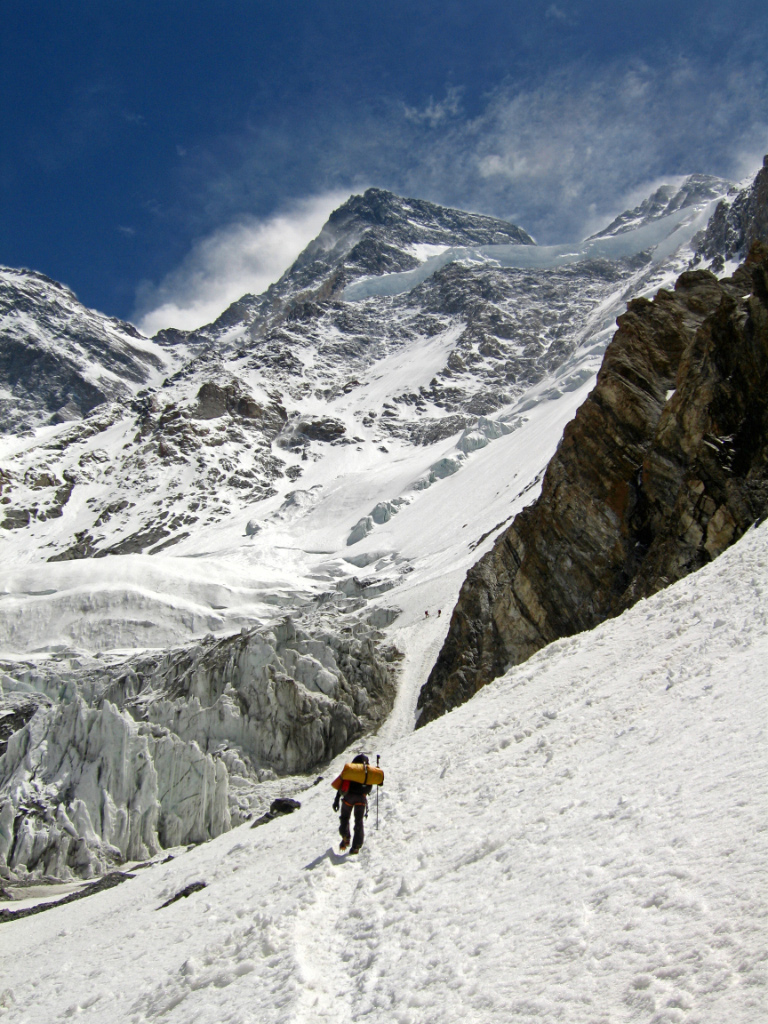
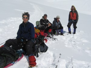
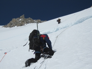
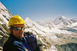
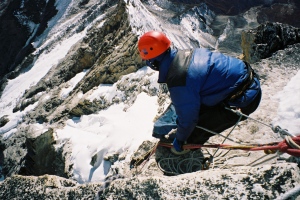
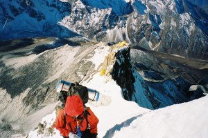
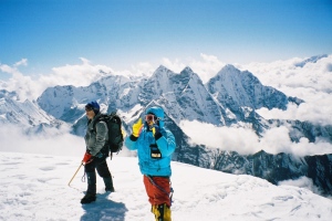
Steep slopes at start of the rock Band
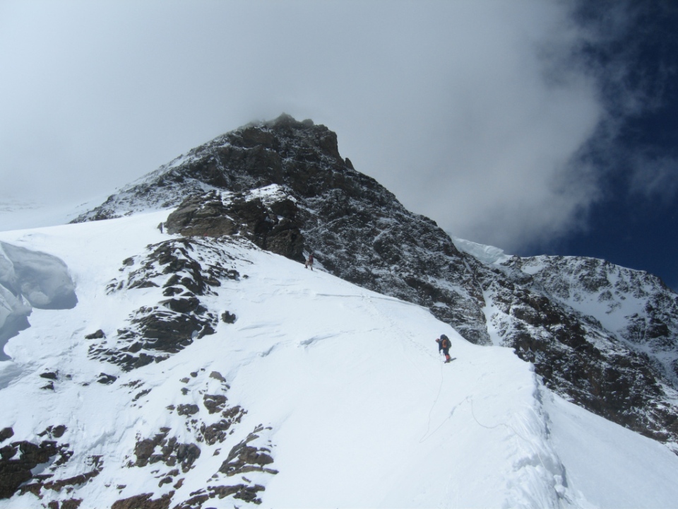
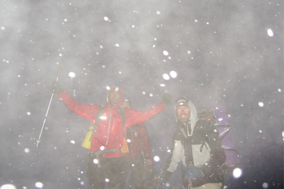
and stayed there. May 24th – the weather was good, Chris and Stu went for the summit. Paul and Mike who were heading for camp 6 could see Chris and Stu above them heading towards the Pinnacles, the final obstacle before the summit, the sun was shining and had a strange sort of halo around it and the wind was low, we knew they could do it now. Late in the afternoon Mike and myself were in our tent at camp 6 brewing up and expecting to hear Chris and Stu at any time returning from the summit. We made our daily radio call to Dan in base camp at 7.00pm, he was concerned at the lack of news. At 7.15pm we heard a noise outside, it was Stu finally arriving back, he knelt down at the entrance to the tent and told us straight away the terrible news that Chris was dead, we were stunned.

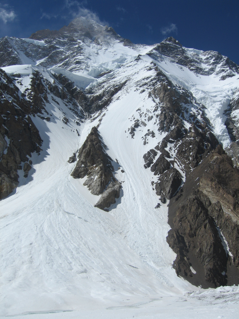
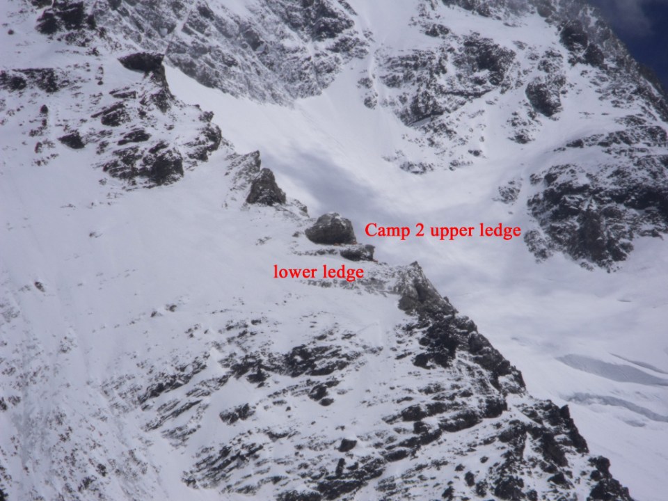
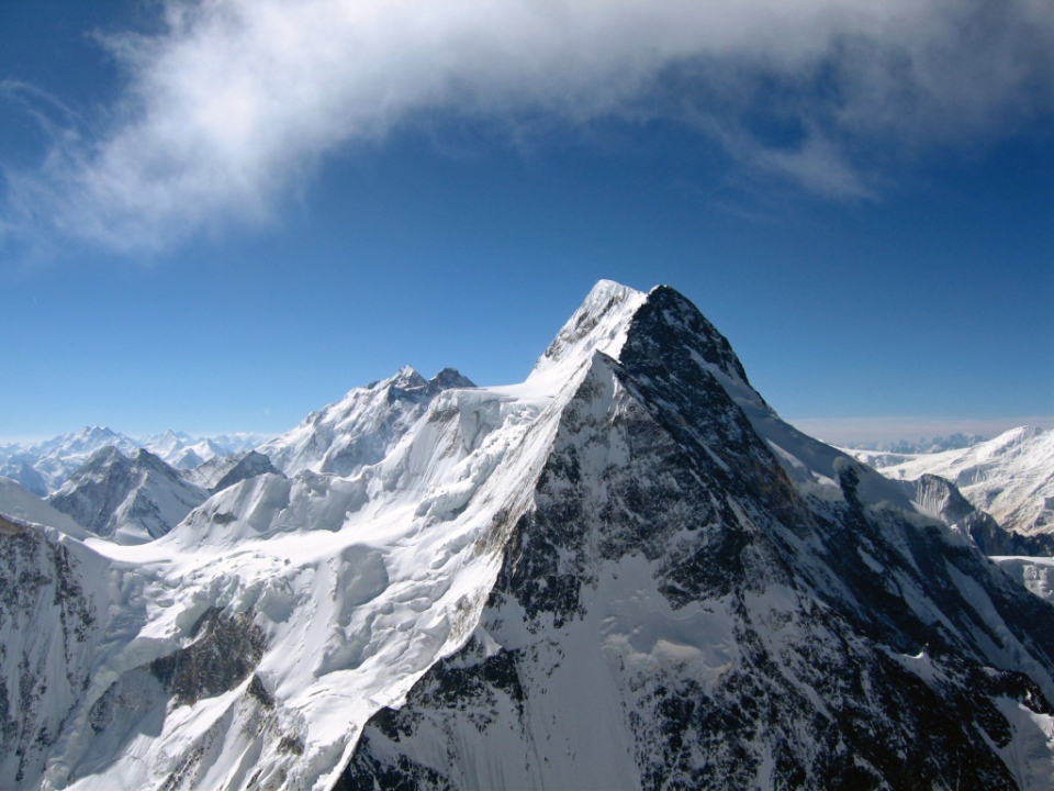
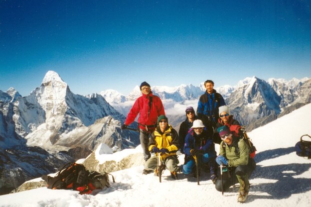
Kangchenjunga north face high camps and features
They had reached the summit of Kanchchenjunga at about 3.15pm that day, later than they hoped as they had been moving slowly but the weather was good. They shot some video and took pictures then started to descend back to the tents at camp 6, the accident happened at about 8400m, they were on a snow slope of about 25 degrees with small rock-steps, Stu was in front and he recalled hearing Chris shout and then he was sliding past him unable to stop and disappeared from view and finally stopped about 200m to the right of our camp 6, Stu descended down to him and his worst fears were confirmed. The next morning me and Stu made our way across to his body and paid our last respects and i climbed down the slope for about 100m and retrieved his rucsac which had his video camera in. We all descended after that and for us the expedition was over, it took us three days to return to base camp and on the afternoon of that first day it started snowing and it continued, the monsoon had arrived and we were climbing down through deep dangerous snow slopes at the end.


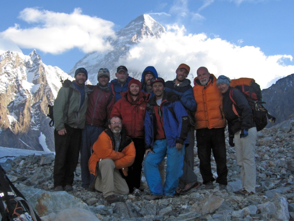
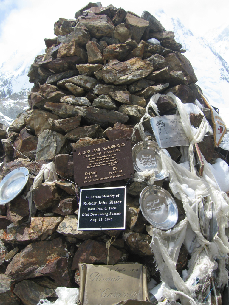
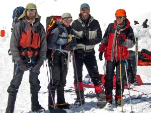
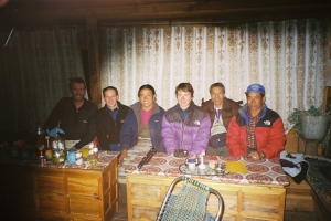
Before we finally left base camp we had a little ceremony for Chris. Malte engraved a stainless steel plate with Chris`s details on, using a nail and an ice-axe and we added it to the memorial cairn for climbers at base camp, Mike took a good photo of the group present and then we left for home. It took us 4 days trekking out and two days on the bus before we were back at Kathmandu again. While we were in Kathmandu Chris`s family and friends flew out to meet the expedition and have a meal with us and to talk about what had happened.
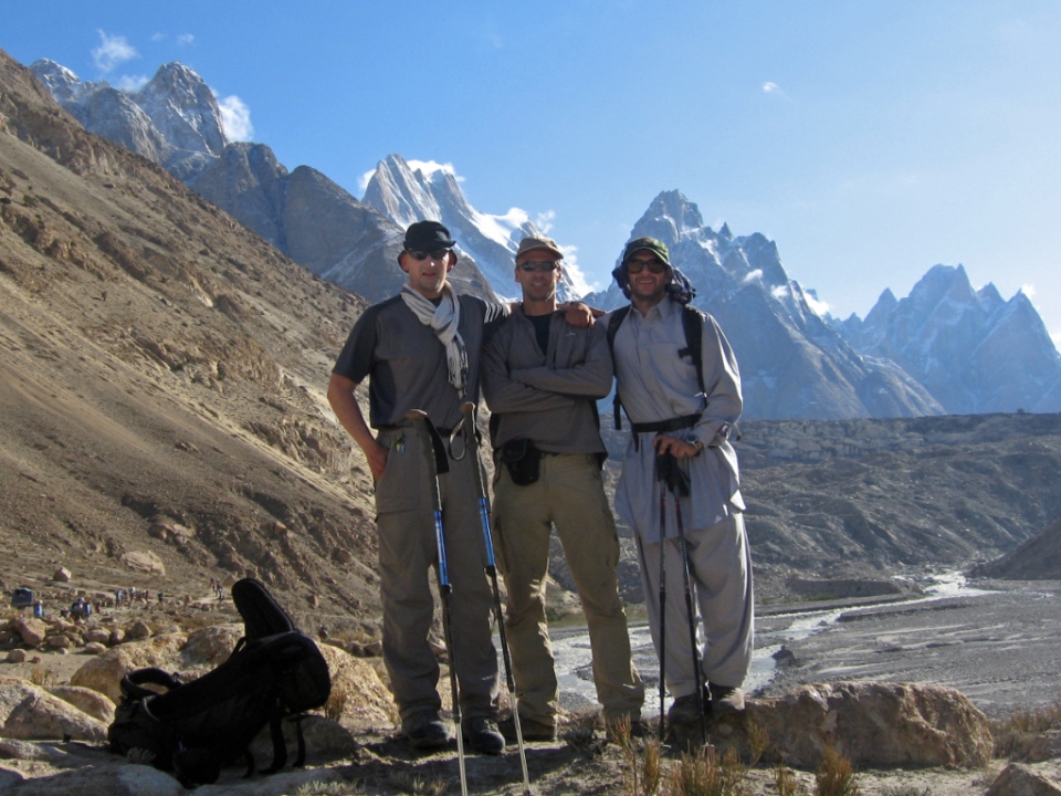
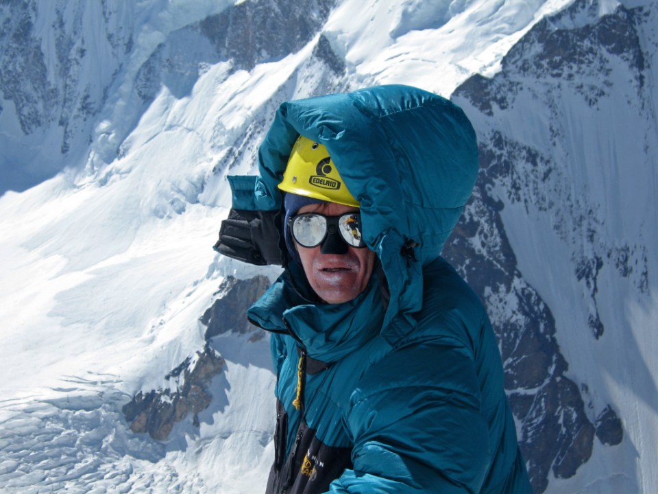
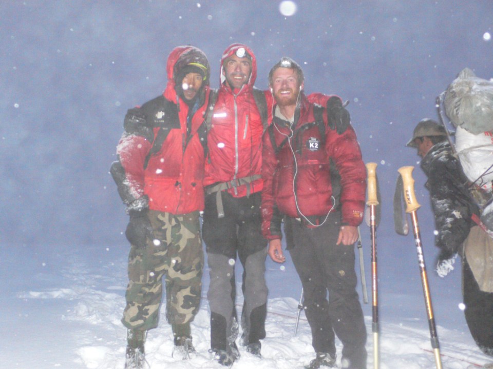
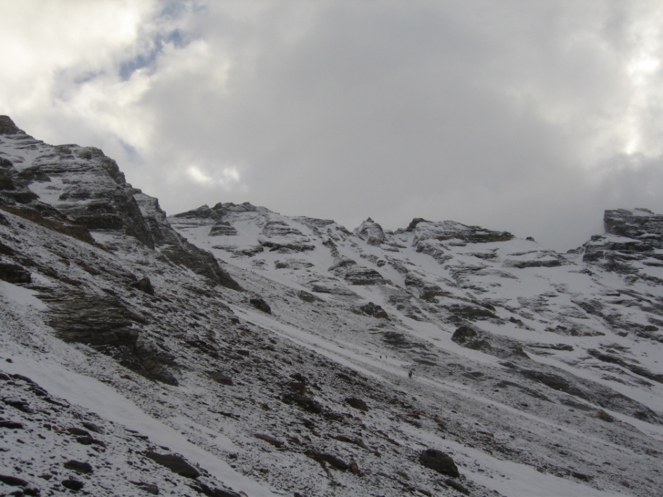
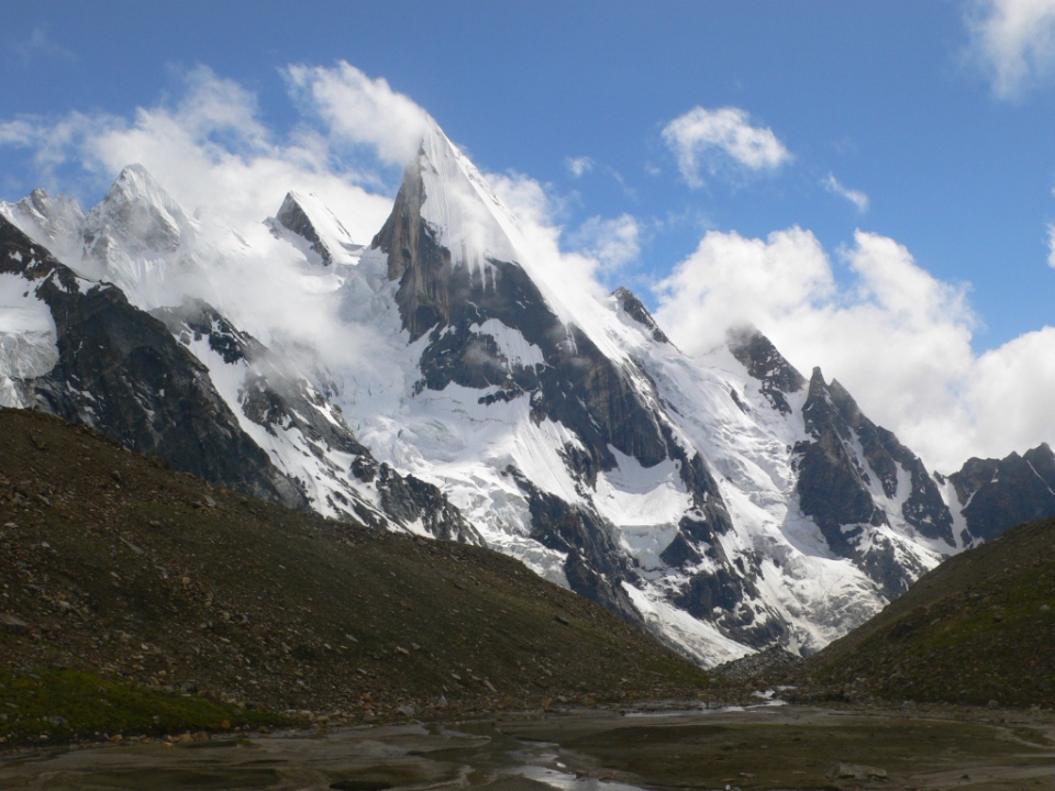
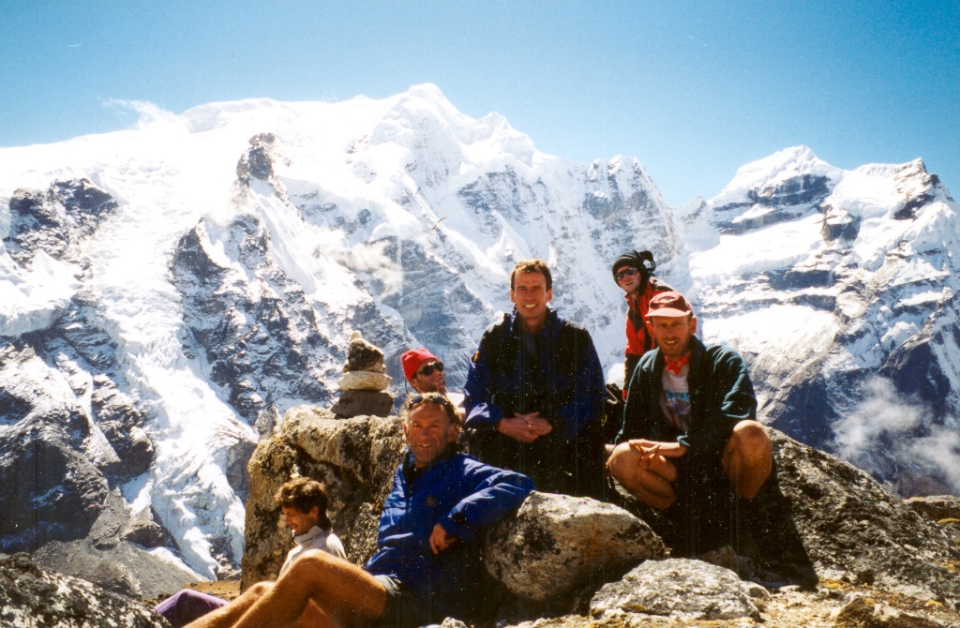
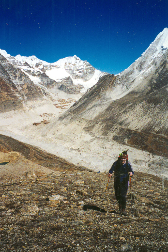
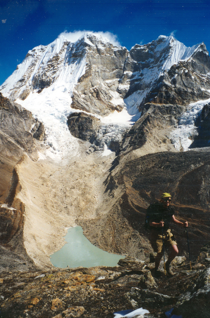
Most of the photos in this piece are by Stu Findlay – my camera broke on the journey in.