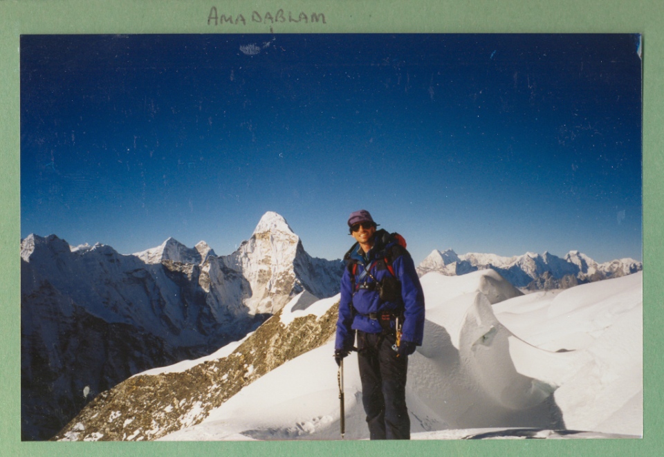

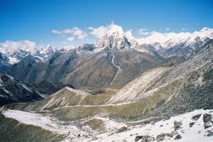
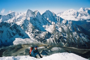
Ama Dablam from Khumjung village
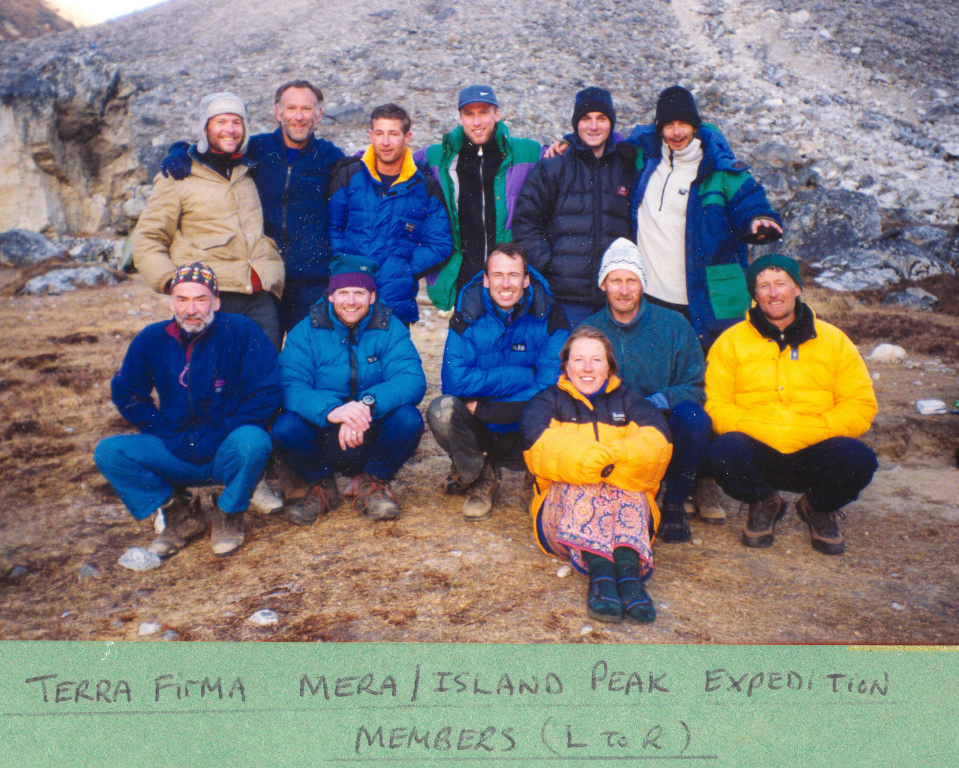
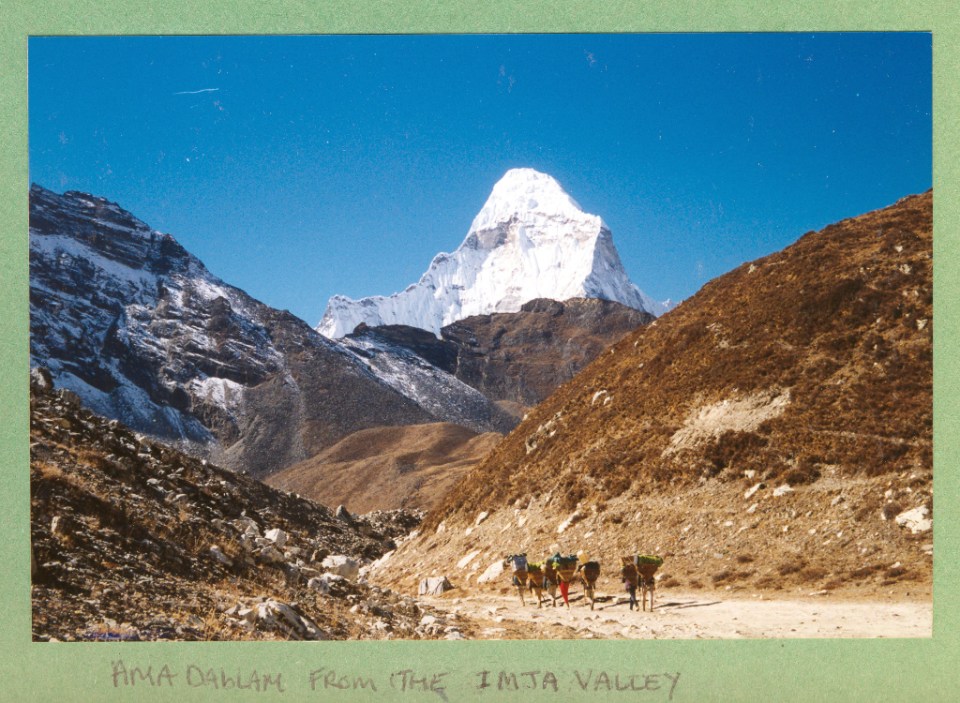
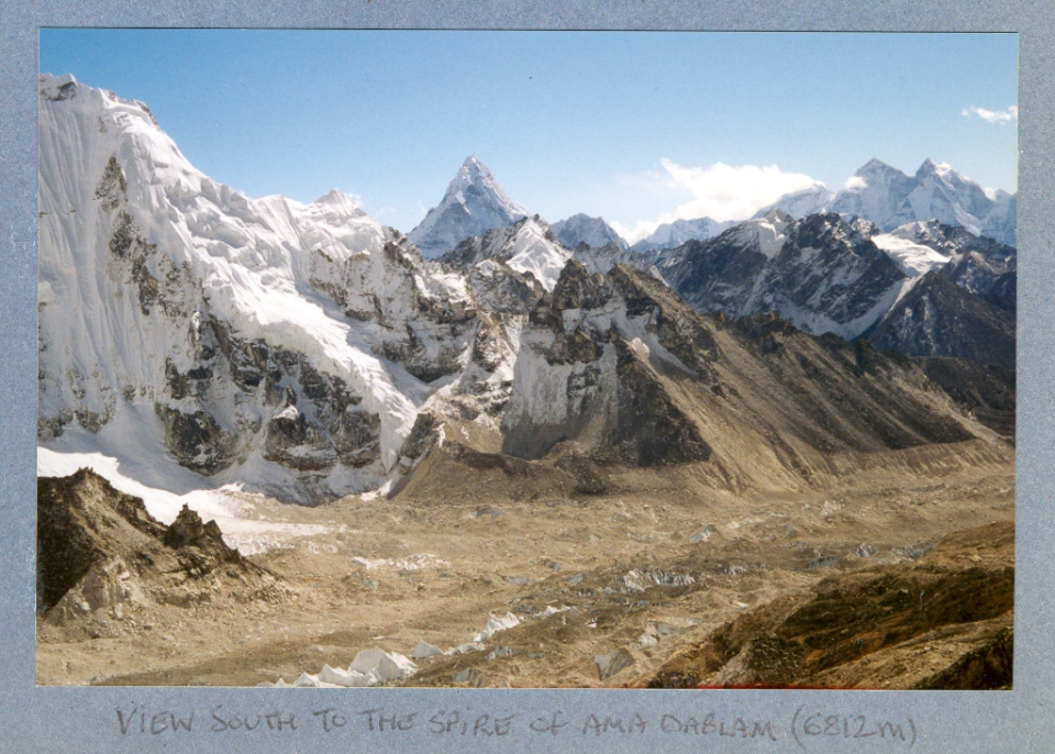
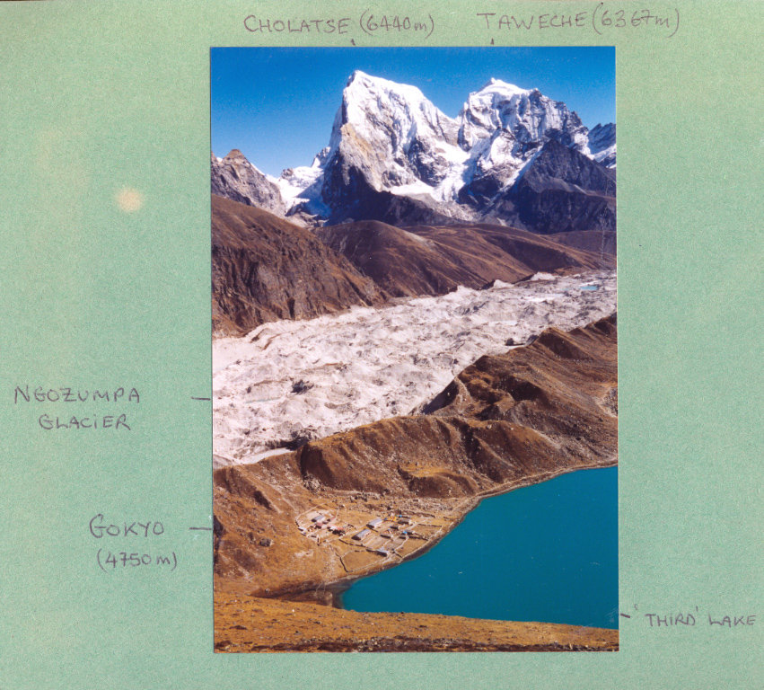
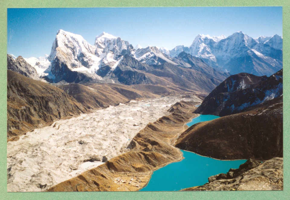
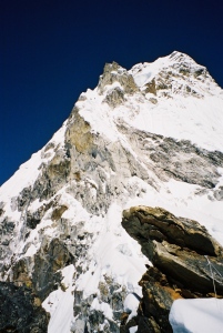
Ama Dablam 6812m high is situated in the Solu-Khumbu region of Nepal and is one of the many awesome mountains visible on the Everest base camp trek and perhaps the most beautiful. The mountains name derives from its appearance with the two long ridges like the arms of a mother (Ama) protecting her child, and the hanging glacier near the summit is a charm box (Dablam) worn around her neck. In the autumn of 2004 i joined a commercial expedition to try and climb it. We all met in Katmandu and after a few days flew to the mountain airport at Lukla, here we picked up the Everest Trail and stayed on it all the way to Pangboche, where we turned off to trek up to Ama Dablam base camp.
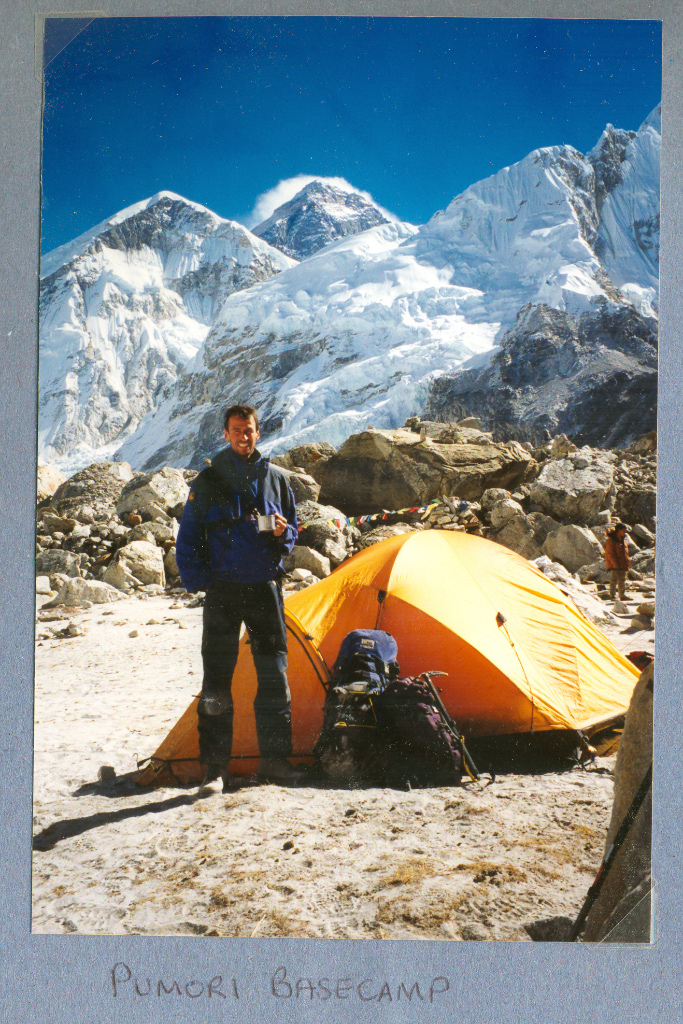
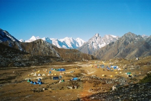
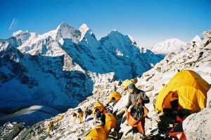
- Base camp (4650m) A surprising large flat grassy area with a nearby stream.
- Advanced base camp (5500m) Used for acclimatisation hikes from base camp.
- Camp 1 (5700m) involves scrambling over huge boulders then up a rock slab to camp.
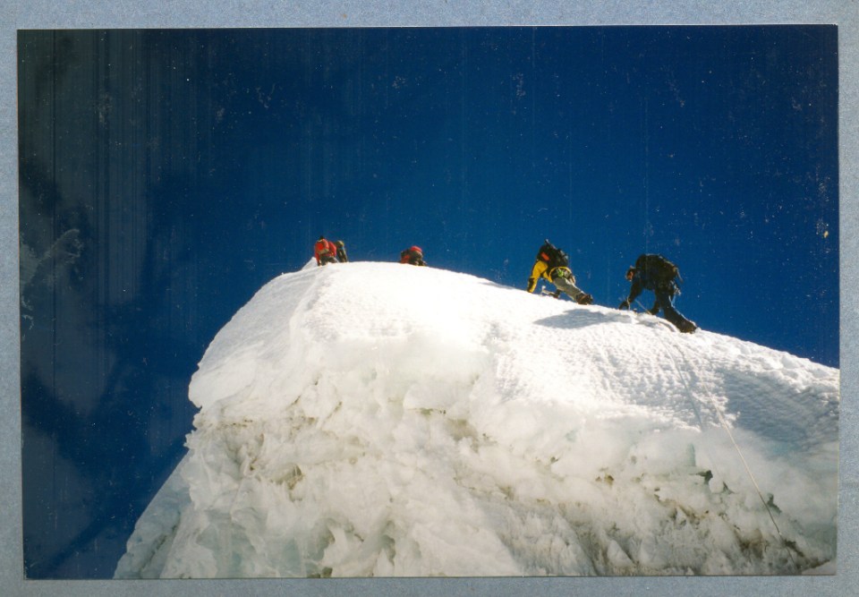
- Camp 2 (6000m) Not much height gain from camp one but involves a lot of scrambling along rock ridges and around pinnacles with large exposure. Includes probably the hardest section of the climb up the Yellow Tower. The campsite itself is very exposed.
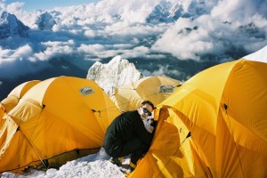
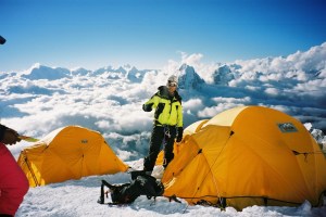
- Camp 3 (6280m) From camp two a steep snow ridge up through the Grey Tower area and then up the amazing Mushroom ridge. Camp three is based at the foot of the hanging glacier – the Dablam.
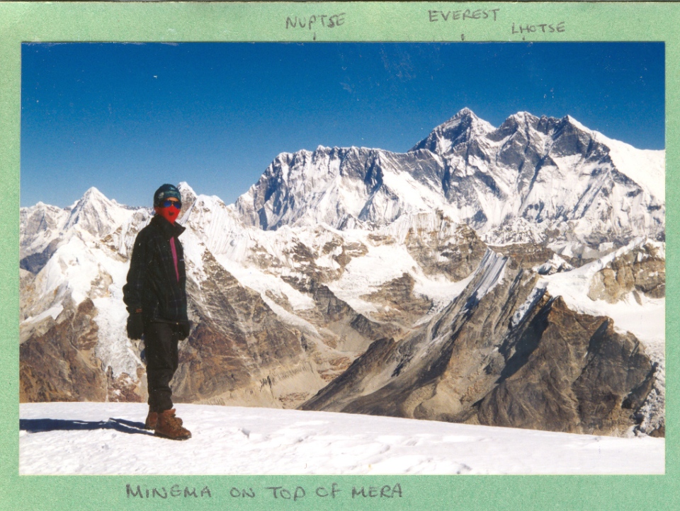
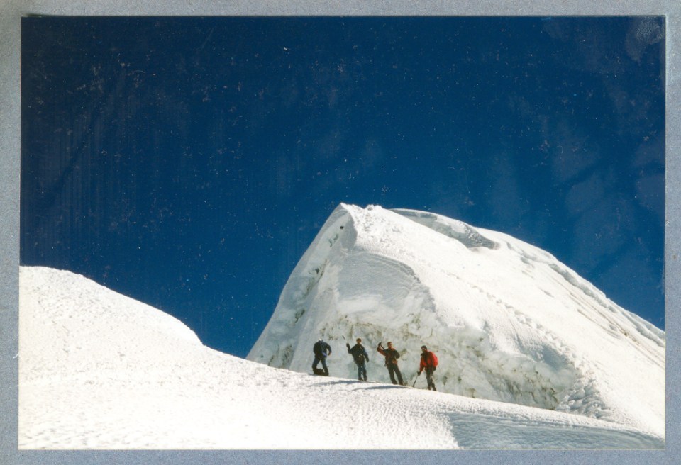
- Summit day (6812m) A snow-ice climb averaging about 40 degrees round the side of the hanging glacier (the Dablam) then onto the summit slopes.
-
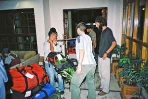
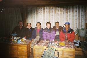
- Bag weighing in Hotel at Kathmandu
-
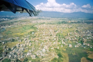
- Approaching Katmandu Airport
-
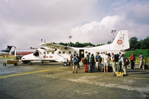
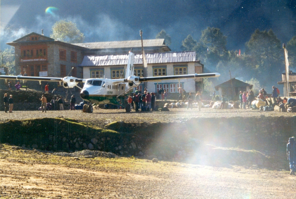
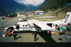
- Our plane from Kathmandu to Lukla
-
- Plane taking off at Lukla
-
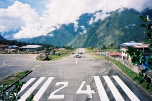
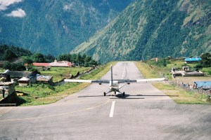
- Plane landing at Lukla
-
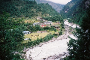
- After leaving Lukla we trekked down to Phakding (2652m)
-
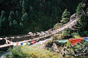
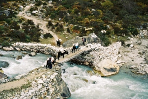
- One of the many suspension Bridges
-
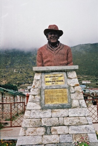
- Khumjung school founder
-
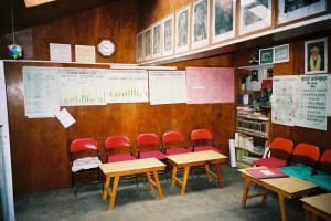
- Khumjung school classroom
-
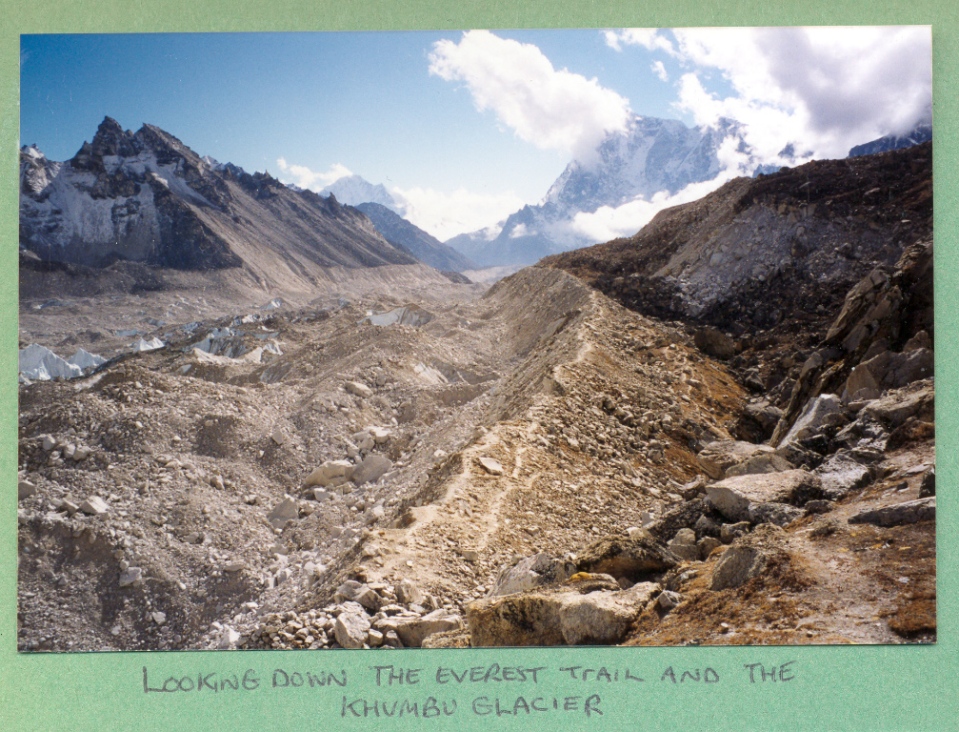
- On the Everest trail
-
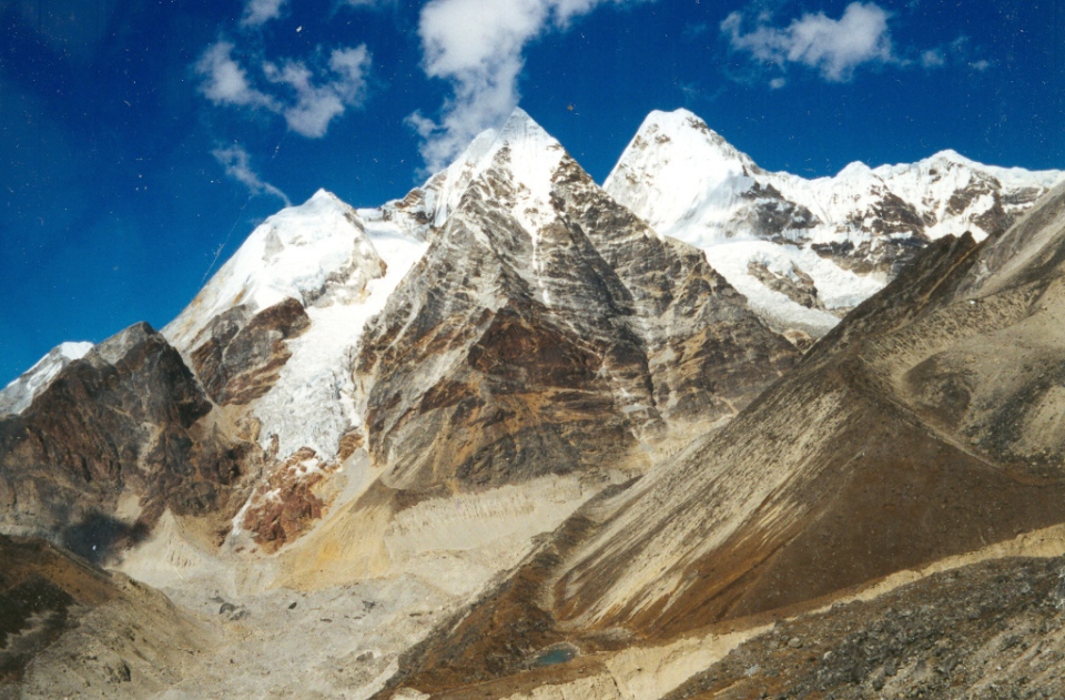
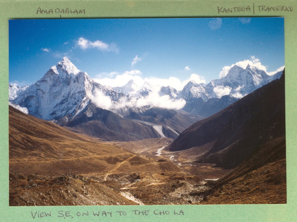
- Ama Dablam, Kang Tega and Thamserku from Kunde Hospital
-
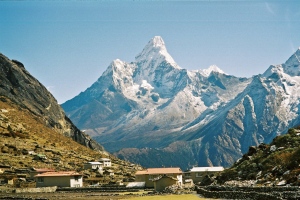
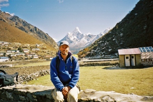
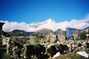
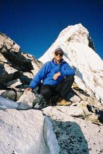
- Ama Dablam from Khumjung village
-
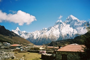
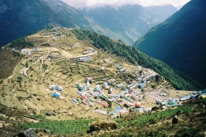
- Khumjung village (3780m)
-
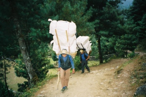
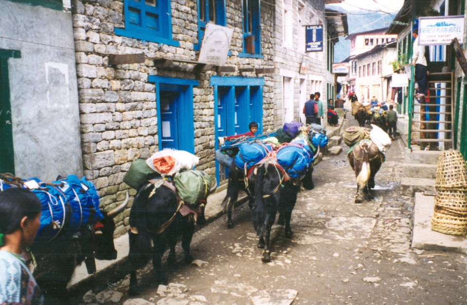
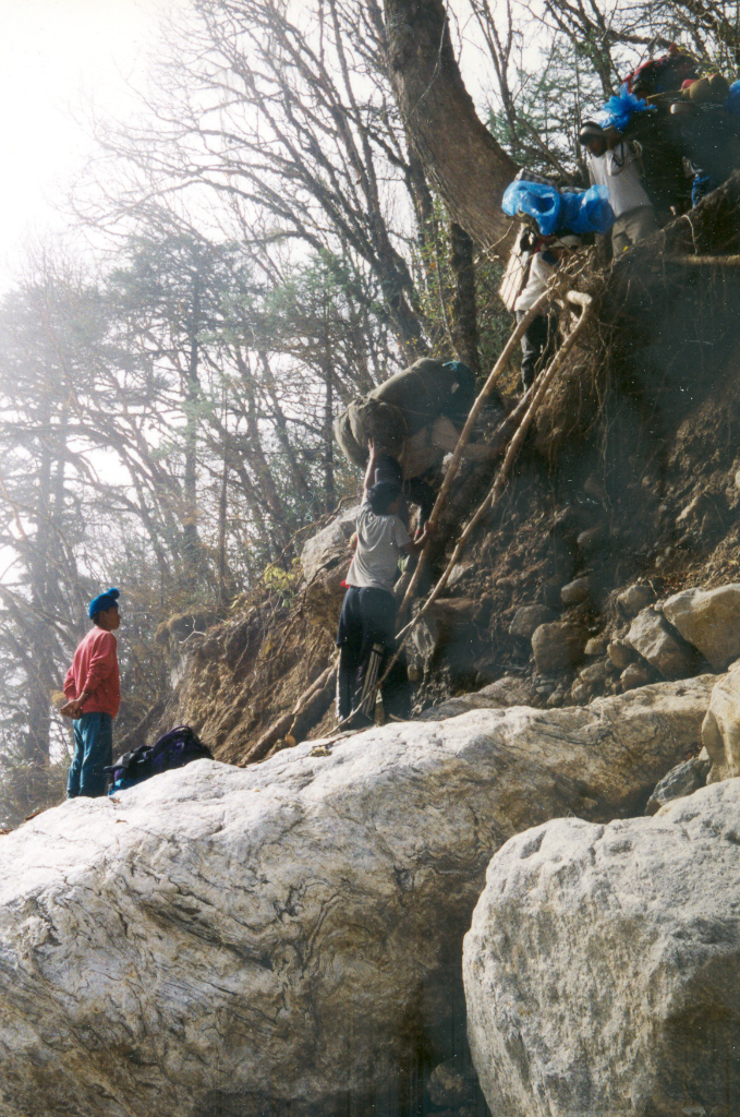
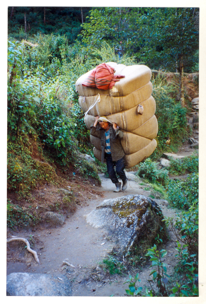
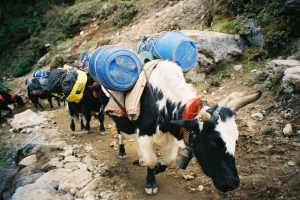
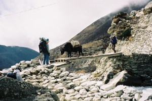
- Porters carrying big loads near Phakding
-
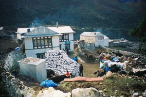
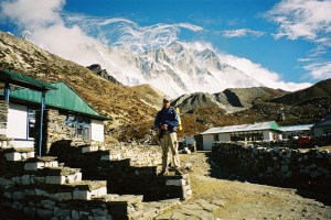
- Namche Bazaar (3446m)
-
- Namche Bazaar (3446m)
-
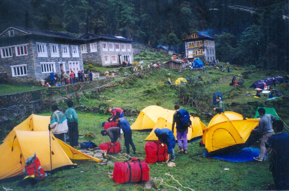
- Camp site in Namche
-
- We stayed overnight at the Paradise Lodge at Pangboche (3901m)
-
- The trail to Dingboche
-
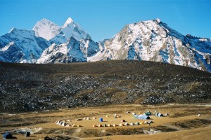
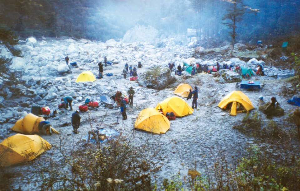
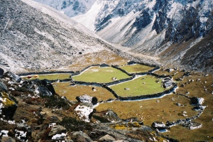
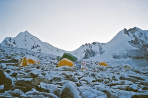
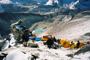
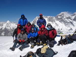
- Our circle of tents at base camp (4520m)
-
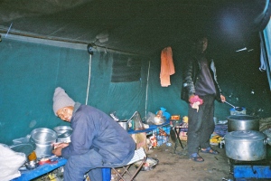
- Base camp cooks
-
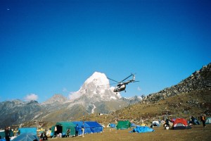
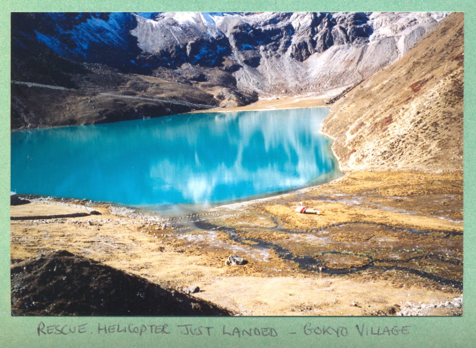
- Helicopter Rescue at Base Camp
-
- Early morning sunshine at Base Camp
-
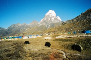
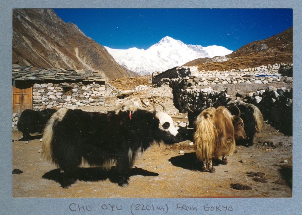
- Yaks grazing at Base Camp
-
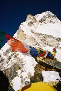
- Puja ceremony at base camp
-
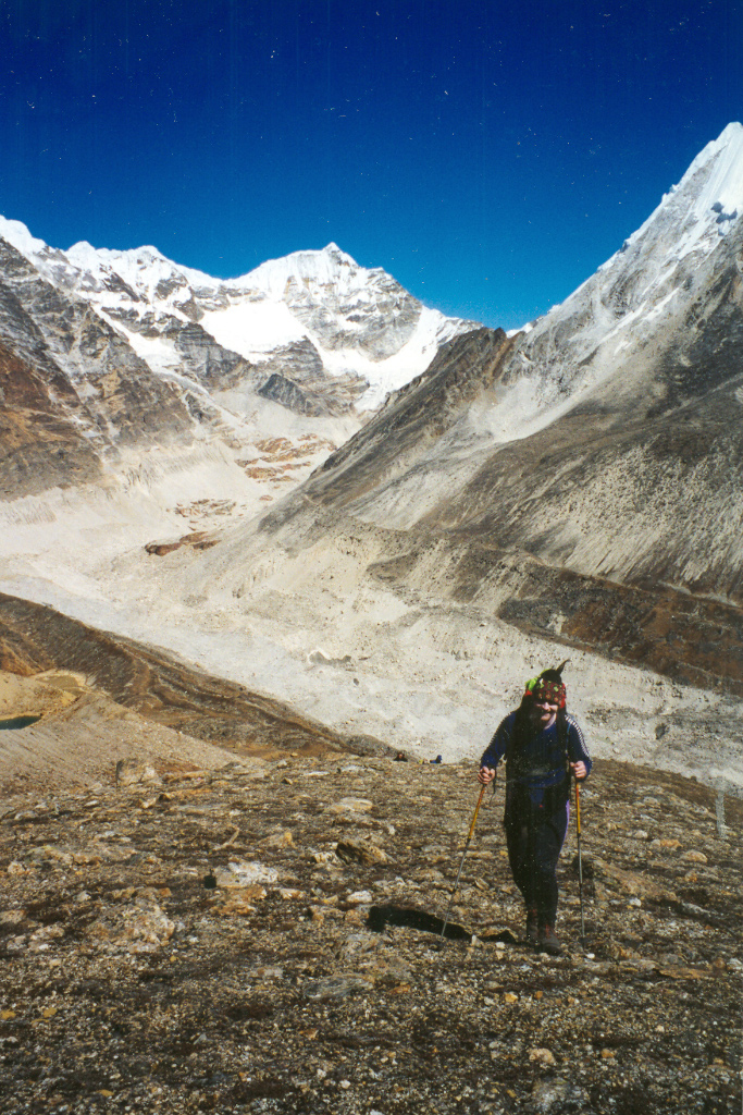
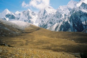
- Yak Pastures in the next valley over from base camp
-
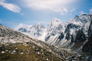
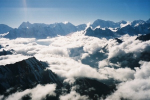
- The next valley over from base camp
-
- The Mingbo airstrip
-
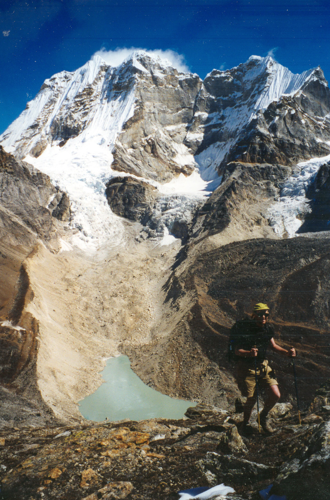
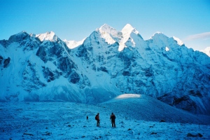
- Looking back on the trail up to advanced base camp
-
- Approaching the tents at Advanced Base Camp
-
- Fresh snow at ABC (5300m)
-
- Leaving advanced base camp early in the morning for Base Camp after an acclimatisation trip
-
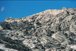
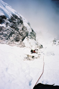
- At the bottom of the slabs leading to Camp 1
-
- On the slabs leading to Camp 1
-
- Camp 1 was located at the top of the slabs
-
- View looking down from Camp 1
-
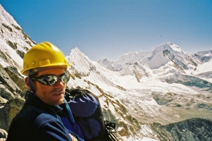
- Marc at Camp 1 with the Mingo La in the background
-
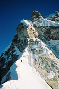
- Camp 1 and the ridge leading up to camp 2
-
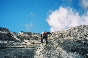
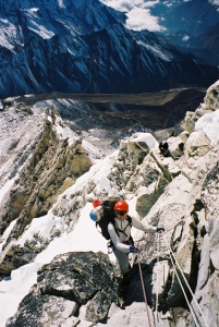
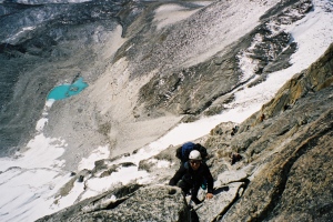
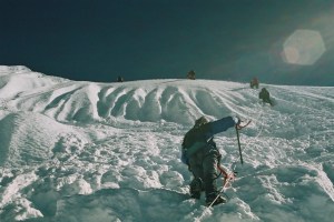
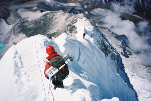
- Wanda climbing up to camp 2
-
- Wanda on the way to camp 2
-
- On the way to camp 2
-
- Climbing up to Camp 2
-
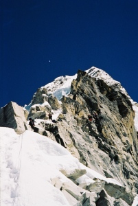
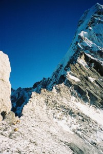
- The Yellow Tower
-
- Approaching the Yellow Tower
-

- Just below Yellow Tower area
-
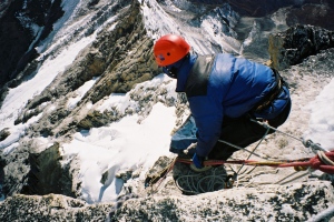
- Furi Hauling bags on top of the Yellow Tower
-
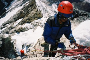
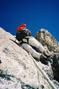
- Wanda climbing the Yellow Tower on the way to camp 2
-
- Late afternoon sun at camp 2
-
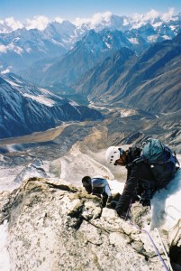
- View from Camp 2
-
- View from tent at Camp 2
-
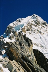
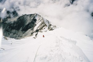
- Heading for the Couloir and Grey tower
-
- A brilliant evening at camp 2
-
- Looking down on camp 2 and in the distance camp 1
-
- Wanda with the spectacularly placed camp 2 in the back ground
-
- Wanda and Derek taking a break
-
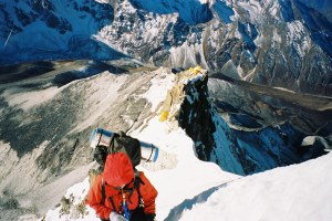
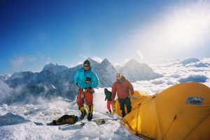
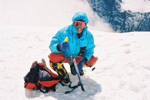
- Adam at Camp 3 on Ama Dablam
-
- Dave at Camp 3 on Ama Dablam
-
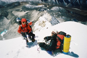
- Makalu Sherpa and Jason at camp 3
-
- Leaving Camp 3 for the summit (photo Ken Tranter)
-
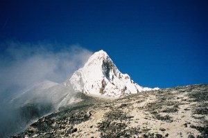
- Ama Dablam`s summit snow flutings (photo Ken Tranter)
-
- Derek almost at the summit of Ama Dablam
-
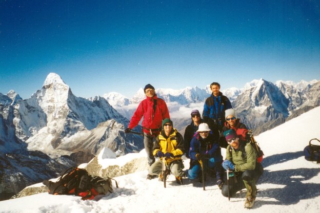
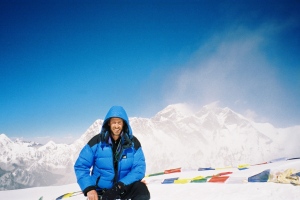
- Ama Dablam summit
-
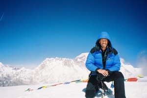
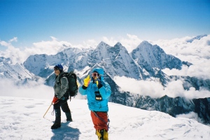
- Ama Dablam summit with Everest in the background
-
- Makalu Sherpa on Ama Dablam Summit
-
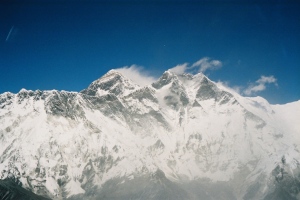
- Everest and Lhotse from the summit of Ama Dablam
-
- Simon and Makalu on summit
-
- Derek`s summit photo with Everest in the background
-
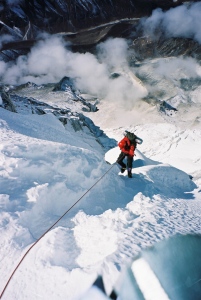
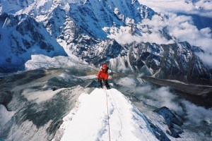
- Wanda heading back down to camp 3
-
- Descending the Couloir between camp 3 and camp 2
-
- Wanda going down to Camp 3 on Ama Dablam
-
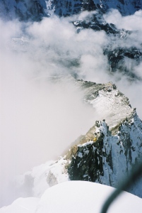
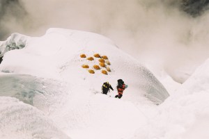
- Descending the mushroom ridge on the way back to Camp 2
-
- Wanda abseiling back to camp 2
-
- Evening sunshine just below ABC on the way back to base camp
-
- A great night at the Gompa Lodge in Khumjung
-
- Chukhung lodges with Lhotse in the background
-
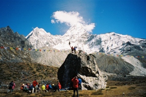
- An irresistable force meets an immovable object near Dingboche
-
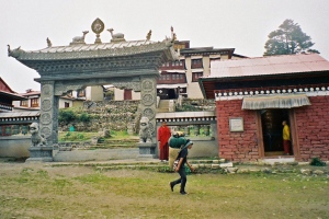
- Tengboche Monastery (3867m)
-
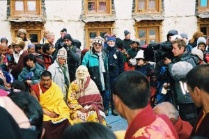
- Tengboche festival
-

- Festival time at Tengboche
-
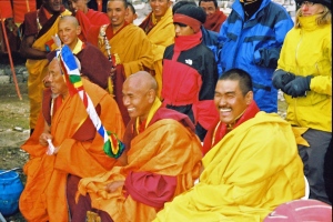
- Monks at Tengboche festival
-

- Tengboche festival
-
- Back at Lukla waiting for a flight back to Kathmandu