Category Archives: bike packing

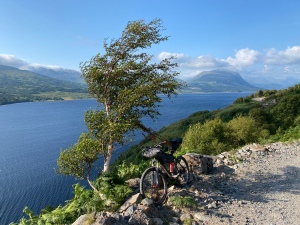
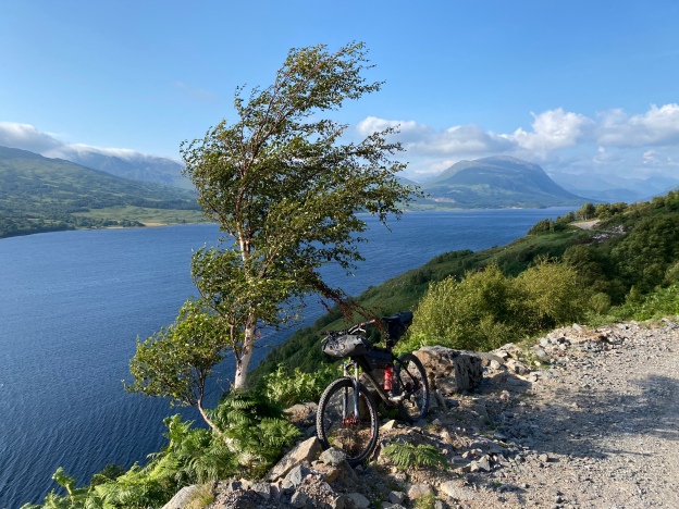
The wide trail heading South-West along Loch Etive has beautiful views but also leg sapping climbs..

Glen Kinglass, Mull and Ardnamurchan, July 2021

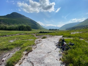
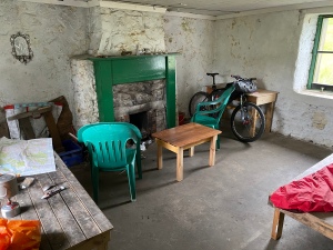
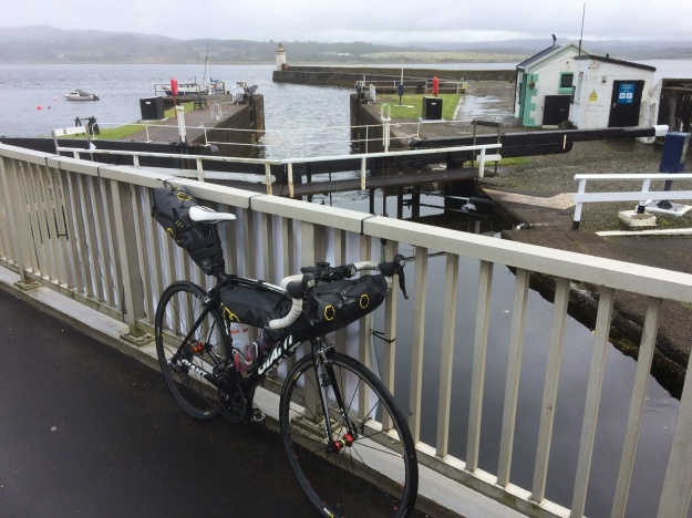
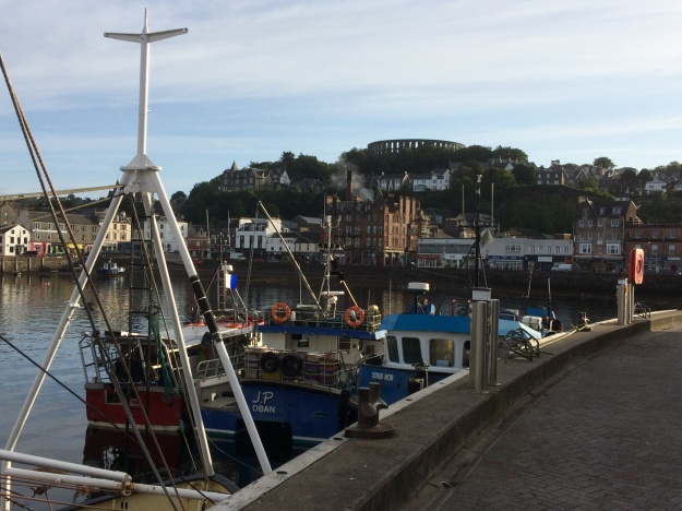
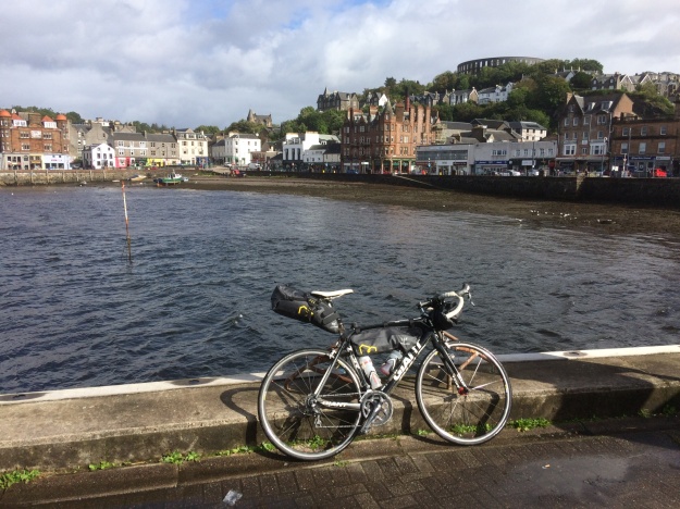
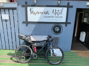
Sometimes the best adventures happen by chance….I had been keeping this week free as my sister and her family were planning on the long journey up from Kent to visit us, however just days before setting off, my young nephew tested positive for COVID and everyone had to isolate… I didn’t want to waste this week off, so I hastily started gathering my bike packing stuff together and gave the mountain bike some much need attention and made sure my tubeless tyres were topped up with fresh sealant. With not much time to plan I decided to go some where familiar and so made an early morning start for the 6 hour drive North up to Tyndrum in Scotland and parked up at the Green Welly shop, a familiar landmark on the busy A82 road to Glen Coe and Fort William. After an hours faffing around in the carpark, the bike was back together again and the bags strapped on, clothing and food decisions were made and I was off riding by noon. The weather was still glorious if a little breezy but this was to be the last day of the heatwave…the plan was to check out Glenkinglass, a well known and popular off road cycling route. From Tyndrum it’s an easy ride North following the West Highland Way and crossing the A82 at Bridge of Orchy, then along the very quiet road to the Inveroran Hotel. I had passed here many times before but never called in, this time I couldn’t resist and had a very nice pint sitting outside in the sunshine. Refreshments over I continued over the Victoria Bridge and turned left at Forest Lodge and headed west along the Abhainnn Shira, it would be off road all the way now to Taynuilt. I didn’t know how far I would get today and there are loads of places to camp/ bivi along the way, but with the lovely weather and the dry conditions making the boggy bits easy, I was flying along and was really enjoying the riding and the scenery. At the mouth of the River Kinglass the track crosses the river and heads South-West following the edge of Loch Etive, the views are great but the wide track undulates a lot with plenty of stiff, short climbs and I found this quite a gruelling section, I finally rolled into Taynuilt at about 7.30pm, tired and hungry. After a quick look around I called into the Taynuilt Inn for burger and chips and a much needed pint. I was looking for a bivi site now and checked out the Old Pier area but there were already quite a few camper vans and tents down there so I continued on the Oban road for a while and turned off at Airds Bay, where I found a grassy spot next to the loch, it seemed ideal and I was soon unpacked and tucked up inside a cosy sleeping bag, inside my bivi, supping on a small bottle of whisky… however it turns out this was not a good place to stop after all… Loch Etive is a sea Loch and during the night with the tide coming in, the water was definitely getting closer… but it also was raising the water table, so everything was getting decidedly squelchy everywhere, in the end I had to retreat a few feet higher up the shore… big lesson learnt, well at least I know my bivi bag is waterproof! The next morning I was up early and away on the A85 for the 12 miles or so into Oban, passing the impressive Connel Bridge on the way, 4 miles before Oban there is a signposted way for cyclists which takes you down to Ganavan Bay and a very pleasant quiet road into town along the coast. I headed straight over to the ferry port to find out when the next ferry was leaving for Mull and bought a ticket. It was here I got chatting to Indra from Wales…. she had travelled up to Scotland yesterday with her fully loaded touring bike and had had a bit of a nightmare due to delayed trains and missed connections, which meant her bike was no longer booked onto the trains she needed to catch. Her original intention was to start her tour from Lochailort but with all the confusion she decided Oban was just as good! As we chatted on the ferry I found out her plan today was the same as mine, to cycle the southern road loop of Mull, clockwise from Craignure and maybe head for the bothy at the end….We stocked up on goodies from the little store and I left Indra to write postcards to her friends and I headed off alone on the ride, which starts off easy enough before a long steady climb up through Glen More and a fast descent down to the road junction at Loch Scridain, the last time I was here I turned left, for the long detour to Fionnphort and ferry to Iona, but today I turned right around the head of Loch Scridain for a few miles, before another steady climb takes you over to the wild feeling Loch na Keal. At the road junction I carried straight on to Salen and called into “The Little Bespoke Cafe” for a much needed toastie and coffee. Suitably refreshed I then set off to check out the nearby Tomsleibhe bothy, which was open and unoccupied… I was there just over an hour when I heard someone else arriving… I was delighted to see it was Indra and we had a good catch up of the days event and I also had the chance to check out her bike – which was a rather fine looking Dawes Super Galaxy tourer, equipped with large Ortlieb panniers, I did wonder at the time what on earth she had in them as they weighed an absolute ton….over the next few days I would find out and the answer was….a little bit of everything!

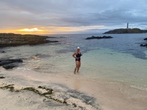
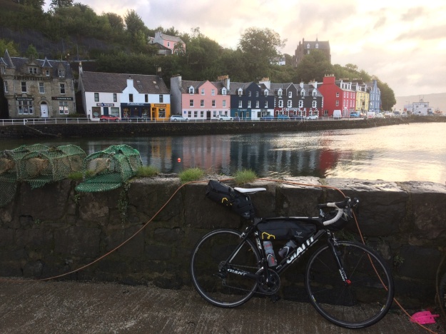
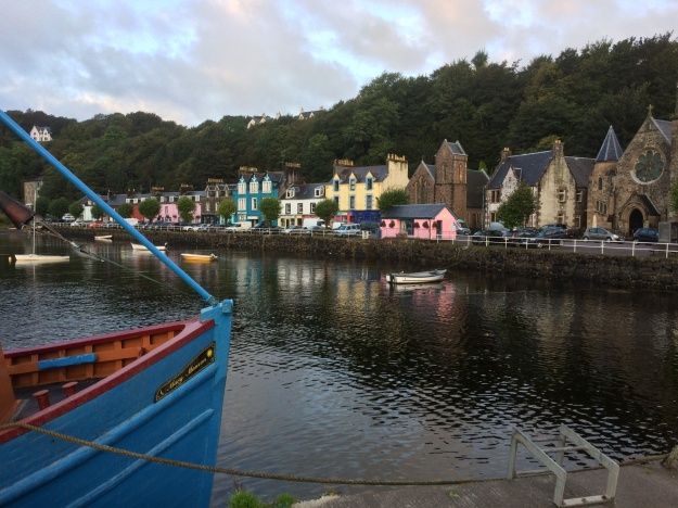
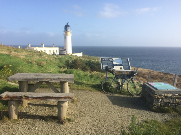
The next morning we set off in the steady rain to do the Northern loop of the island, from Salen we rode the loop clockwise along the narrow twisty roads that included several long climbs before enjoying a really fast descent down to Calgary Bay, where we stopped for some food and coffee at the Calgary Arts Cafe and tried to dry out a little. By now the weather was improving and the rain jackets were soon off as we huffed and puffed our way steeply out of Dervaig and managed to hear and spot a distant Golden Eagle. We stopped to admire the view and take some photos high above Tobermory before dropping steeply down into the colourful harbour village. We wanted to catch the ferry from Tobermory to Kilchoan on the Ardnamurchan peninsula but we were unsure of the times, so we headed down to the harbour to check the timetable, it turned out we were in time to catch the 6.00pm sailing and even had time to get some tasty takeaway fish and chips from the mobile chippy on the Fisherman’s Pier. We stood on the upper deck of the ferry for the half hour or so journey to the peninsula with the warm air from the ferry’s funnel protecting us from the cold Atlantic wind. Once off the ferry we decided that the legs still had enough energy in them to get us to the Ardnamurchan Lighthouse, 6 miles away, we were partly lured on by a sign pointing to a hotel on the way (the thoughts of pub meals and beer did cross my mind) but it turns out the hotel closed some time ago and it seems to be a community garden place now, however the lady who lived there very kindly filled all our water bottles up…..needed for the camp tonight. It was about 8.00pm when we finally got to the lighthouse and from there Indra spotted a fine looking white beach in the distance, so we headed there to set up camp, it was actually a bit trickier to get there than it looked….. and involved a tough yomp over long tussocky grass, a boulder field and a couple of small streams but it was all worth it in the end! We soon had the tent and my bivi set up, carefully avoiding the scores of tiny little frogs which appeared to be everywhere and soon the stove was purring away as the sun was starting to set and the temperature dipped. Indra muttered something about it would be nice to go for a swim and I unenthusiasticly agreed as I pulled up the zipper on my jacket and cupped my chilled hands around the stoves flame….she disappeared into her tent and a few moments later to my amazement, reappeared in a swimming costume, cap and goggles, she was going for it and no messing about neither as she ran through the sea and dived in…… to say I was impressed would be an understatement!!

The next morning we were up early and after a quick brew, we fought our way back to the road and cycled the 6 miles back to Kilchoan and called into the “Puffin Coffee” cafe for much needed coffee and sausage and bacon sandwiches, which went down a treat. Fully refreshed we set off on the 19 mile section of road to Glenborrowdale and then along the shores of Loch Sunart to Salen. Just before Salen there is a very nice sheltered bay with a little path that takes you right to the rocky edge of the Loch, here we stopped to get the stove on and made a meal, once again the lure of the water was proving too much for Indra and it wasn’t long before the swimming costumes were back on for a chilly but enjoyable 10 minute swim in Loch Sunart. Back at Salen was to be the place where we went out separate ways, Indra planned on heading North to Lochailort train station, where she would get the train home early the next day, I was thinking about heading East to Ardgour and the ferry to Corran and cycling along the A82 for a few miles before picking up the West Highland Way, which would be off-road all the way back to Tyndrum. Indra spent almost an hour on the phone trying to confirm a place on the train for her bike but with no success. Having been refused access to a train already this trip she was reluctant to head to a small station without this reassurance, so we looked at the map…after some head scratching we decided on a new plan, in a nutshell the idea now was for us both to head to Oban… (via Mull again!) from here we could both easily get to where we wanted to be. So we set off on the flat, pleasant road that skirts Loch Sunart, past Strontian and around the head of the Loch before heading South on the A884 that goes to Gleann Gael, this route has a sting in the tail though, in the form of a hill that literally goes on for miles, it was gone 8.00pm by the time we finally got to the top, once over this formidable obstacle however there are 2 fantastic warp-speed descents to enjoy… About 4 miles before Lochaline (where the ferry leaves from) with the light fading we pulled off and found a place to camp and get the stove on….it took a while before they found us but word soon got around and before long it felt like half the West Coasts population of midges had come to join the party….. Indra had a rummage in her cavournous panniers and produced some smidge and a bush hat with a midge net on, I told you she had a little bit of everything in them!

The next morning we rode down to Lochaline for the short ferry crossing to Fishnish on the Isle of Mull and had a quick bacon sandwich at the ferry cafe before cycling the 6 miles or so down to Craignure and waited for the next ferry to Oban. Here Indra met up with Ruth, another cycle tourist whom she met on day 1 of the trip and had a catch up. Back at Oban we all went for a quick meal and pint at the Corryvreken pub before dashing off to catch the same train, Ruth and Indra heading South and me getting off at Tyndrum to see if my car was still there….it had been another memorable Scottish adventure…..
Exploring Arran, October 2019

Arran Map

I first visited the island of Arran briefly in September 2019 on my way to a cycling holiday on the Outer Hebrides and was impressed by the outdoor possibilities, so I decided to return again in October and spend a few days exploring the island. Situated on the beautiful West Coast of Scotland, Arran is very easy to get to by public transport therefore I left the car at home and took my mountain bike with me instead. I got the mainline train to Glasgow Central , then caught another local train to Ardrossan Harbour, which is right next to the ferry terminal. The train and ferry timetable are intergrated so I had 30 minutes to buy a ticket for the 55 minute ferry ride to Brodick on Arran. The island is not very big, it is approximately 20 miles long by 10 miles wide, a road follows the coastline and is 56 miles long. For my first day here I decided to explore the Southern half of the island by bike, setting off from Brodick to Lamlash, Whiting Bay, Kildonan, Blackwaterfoot and returning to Brodick Bunkhouse via the String road.

Day two on this exploration of Arran was a tough and spectacular walk around the mountains in the North of the island that surround Glen Rosa, you can read about my day out on the Glen Rosa Horseshoe here.

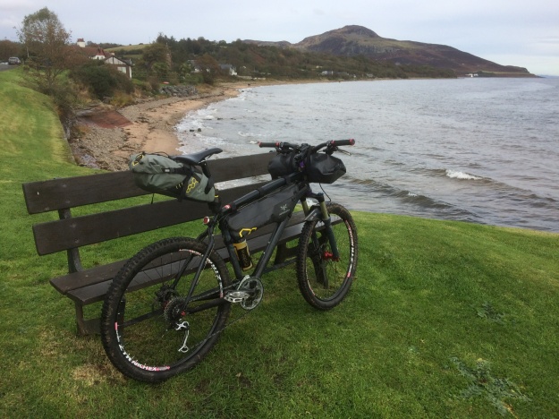
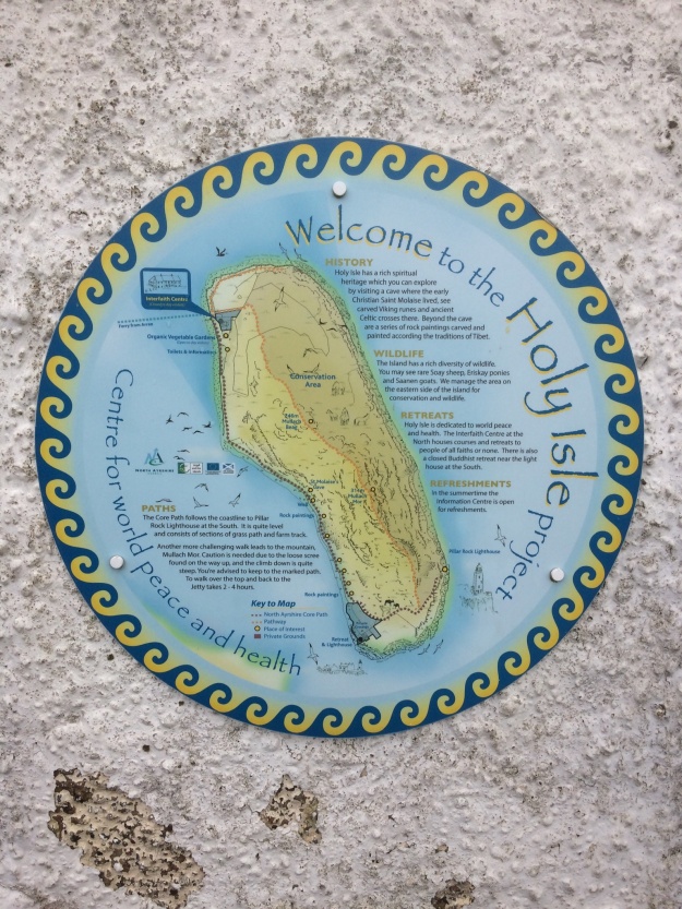
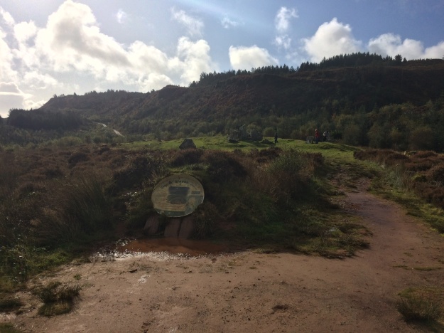
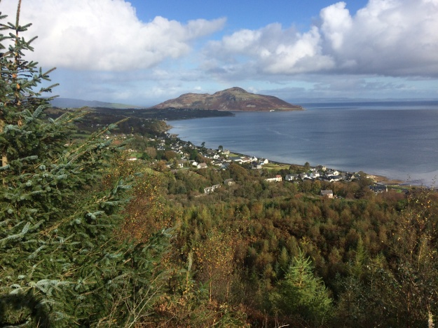
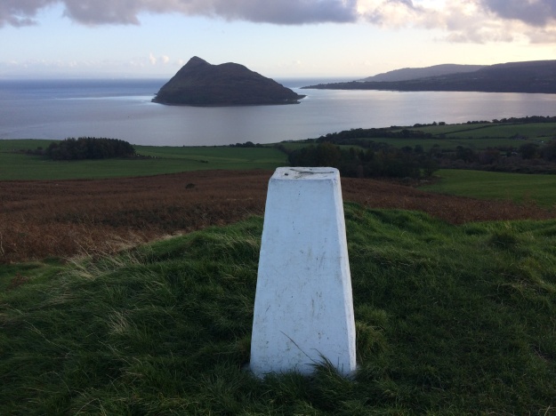
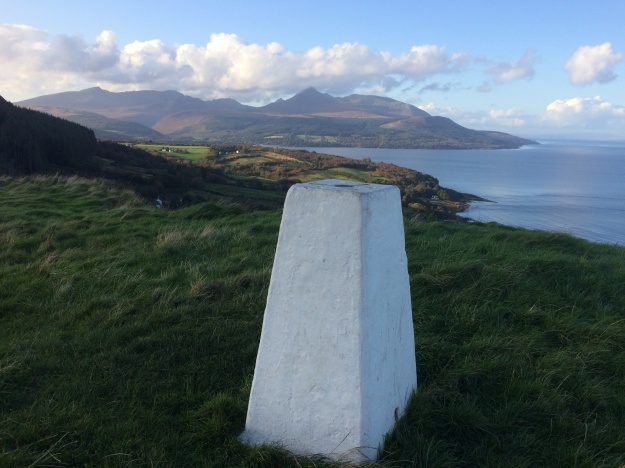
After yesterday’s exertions doing the Glen Rosa Horseshoe I thought it would be a good idea to do a gentler walk today and set off to do part of the Arran Coastal Way. I set off from the Bunkhouse in Brodick for Lamlash, which is 3 miles away via the Fairy Glen track, Originally i had intended to get the ferry  from Lamlash to the Holy Island and maybe climb the big hill there but it had stopped running for the season now and would be Easter before it started again. Leaving Lamlash I turned right onto the Ross road which crosses the hilly interior of the island, i took this road as far as the forestry commission car park, where I followed the signs for the Arran Coastal Way (high level alternative) which snakes it’s way uphill along a wide forestry road for a couple of miles. I’m not a big fan of walking in man made forests as they can be very boring and this one was no exception but eventually i came to a path split and the one i took went to Glenashdale Falls. A finger post leaves the main track and goes to an man-made viewing platform from where the impressive two-tier falls can be seen unimpeded. There are some good views over to the Holy Island and Whiting Bay on the way to the next point of interest which was the intriguingly named Giants Graves, which are the remains of two Neolithic chambered tombs, set in a flat grassy area with great sea views it’s a good place for a picnic. I then headed down to Whiting Bay via a steep eroded path and headed North along the pleasant bay road before turning off right and heading for Kingscross Point. I was hoping to walk along the Coastal Way back to Lamlash, however the tide was in and this made the path totally impassable, I had no option but to return to the road for a mile or two before a short cut lead me down to Cordon and Lamlash. It’s a very pleasant walk along Lamlash Bay with great views over to the nearby Holy Island. I followed the small road around the bay to Clauchlands and up past the farm to the ancient site of Dun Fionn fort and the nearby trig point which gives panoramic views of Arran, i then took the small road that leads back to Brodick.

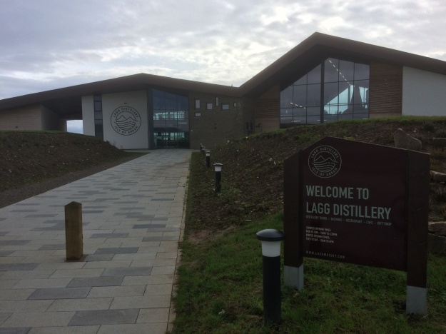
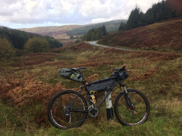
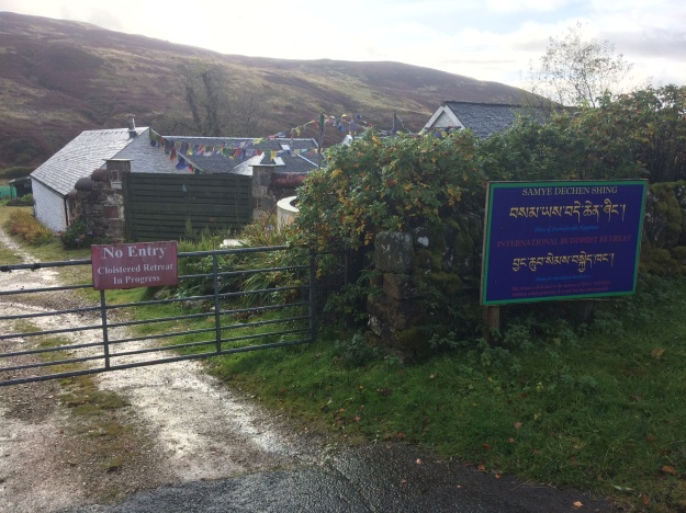
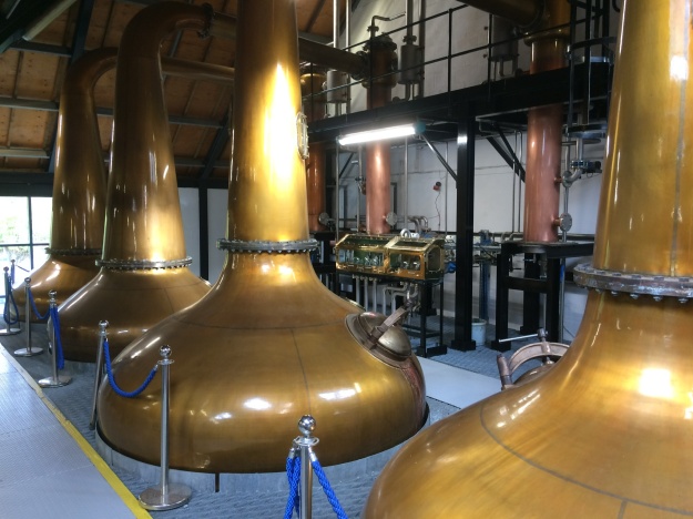
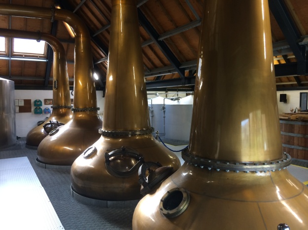
After two tough days of walking on Arran it was time to get back on the mountain bike and explore the rest of the islands roads. The plan was to set off from Brodick and ride down to Lamlash again, from there I would pick up the Ross road that goes across the island and then head North to Lochranza Youth hostel where I would stay the night. Instead of riding on the road to Lamlash, i went off-road and took the narrow track through the Fairy Glen, which I had walked yesterday, this track takes you all the way to Lamlash where I turned off right onto the Ross road and headed across the island. The road is nice and flat to start with and has recently been resurfaced but it soon starts getting steep and it’s a long steady climb that keeps on going. The road crosses a remote and quiet part of the island and about half way across there is a Buddhist retreat center. Eventually the Ross road rejoins the main coastal road not far from Lagg, where the new whisky distillery has just opened, here I turned right and headed North through Blackwaterfoot and on past the tourist hotspots at King’s Cave and Machrie Moor standing Stones. The road hugs the coastline and is relatively flat apart from one short steep bit near Imarcar and in calm conditions like today it made for easy cycling, i can imagine with a strong Northerly wind it might be a different story. I rolled into the beautiful and peacefull Lochranza at about 1.30pm. To fill the rest of the afternoon i went to the Lochranza distillery and went on a very interesting tour and followed it up with a tutored tasting session immediately afterwards where the drams kept coming….

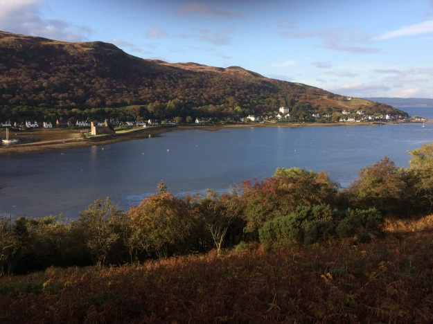
Lochranza from the North

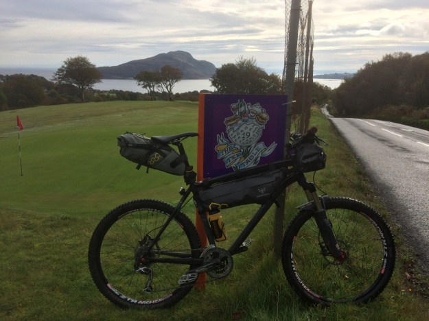
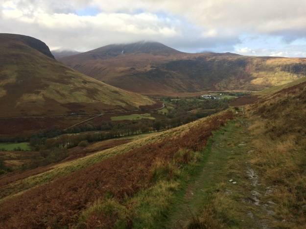
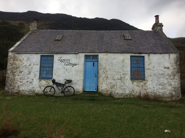
This was my last full day on Arran and on paper it looked like the easiest one, cycling from Lochranza to Brodick….. if i took the main road it would be only 14 miles, a steep climb out of Lochranza up the Boguillie climb followed by a swooping descent and a largely flat ride into Brodick. However there is another way and this is the reason i brought my mountain bike on this trip. This off-road route uses sections of the Arran Coastal Path from Lochranza to Sannox, followed by a short road section past Corrie before entering Merkland Woods for the final section into Brodick. After a leisurely breakfast at Lochranza Youth Hostel, i got chatting to the warden who was also a mountain biker, he warned me that with the heavy overnight rain large sections of the route would be very muddy and difficult to ride but i decided to go ahead anyway and was prepared mentally for any hike-a-bike sections on the way. Leaving the hostel i cycled up the road and turned off left to the golf course and explored the tracks around Newton point, one goes along the coastline and the other climbs quite steeply and gives great views back over Lochranza. With my curiosity satisfied i then set off on the route proper, along the track to the right this time and climbed steeply up a stony path/track heading for Laggan Cottage. The hostel warden was certainly correct about the difficult conditions, this was more like a stream bed and was unrideable. At the top of the climb there are good sea views out over the Firth of Clyde and the isles of Bute and Cumbrae. The long grassy slopes leading down to the dilapidated bothy of Laggan Cottage were treacherous in the wet conditions and it was a relief to get back onto level ground, though the coastal path was still quite rugged, all the way to the aptly named Fallen Rocks, after this it’s an easy ride to Sannox. A short road section was next, taking me past Corrie and then I turned off right into the forest at the Moal Donn car park. This rough potholed forest track was quite hilly and had some steep ramps in places. There had recently been some logging activity here with piles of timber stacked up on the edge of the road and I may have missed a turn here because the track became very rough and muddy and was covered in the discarded branches from the felled trees, it was a great relief to finally emerge from this quagmire onto the well trodden path that descends from Goatfell. There are some good trails leading off this path and I explored a couple of them before finally rolling into Brodick.

Arran, Mull and The Outer Hebrides, Sept 2019

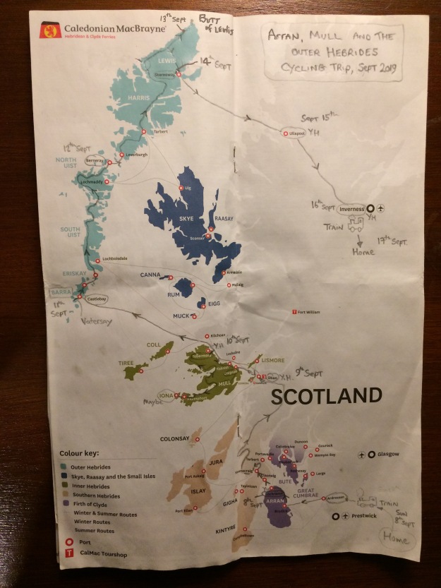
Arran, Mull and the Outer Hebrides route.

I had visited the Hebrides with the bike in July of this year but I didn’t have enough time to complete all of the 185 miles of the Hebridean Way from Barra to the Butt of Lewis. I really enjoyed the trip and so I decided to go back again in September and complete the whole thing, to make it more interesting I would be starting and finishing in a different place to last time. Last July i drove up to Oban with the bike in the boot but this left me the problem of what to do with the car when I was off cycling. also it meant that I would have to return to Oban to retrieve the car when I was finished, which was not ideal. This time I would be using the train and my intended route was to head for North Ayrshire town of Ardrossan where the ferry departs for Brodick on Arran, then cycle North to Lochranza to catch the small ferry to Claonaig on the North Kintyre peninsula, then cycle up to Oban and maybe spend a day exploring Mull. I would then return to Oban briefly to catch the ferry to Barra on the Outer Hebrides. After finishing the ride I would head for Stornaway and get the ferry to Ullapool and then cycle to Inverness to catch the train back home. The ferry from Ardrossan to Brodick only takes 55 minutes and bikes go free, so it only cost me £4 to get to Arran. Once off the ferry I turned right and cycled North heading for Lochranza Youth Hostel which is only 14 miles away, it’s flat until just after Sannox then it’s a steady climb over “The Boguille” and a rapid descent down to the beautifully located Lochranza. The next morning I caught the early ferry for the 30 minute crossing to Cloanaig on the North Kintyre Peninsula. I headed North to Kennacraig (ferry goes to Islay from here…) and turned right along the A83, just before Tarbert i turned left and took the quiet undulating road around the Knapdale Peninsula which eventually rejoined the A83 again and entered Lochgilphead where I stopped at a cafe for much needed pie and chips. Leaving Lochgilphead and heading northwards again I picked up a quiet road along the Crinan Canal for a while then the B8025 heading for Kilmartin heading for the quiet road on the North side of Loch Awe. This road was actually in very good condition and had recently been resurfaced, I think with European money, to make it easier for big lorries to get the timber out, the drawback was it was extremely undulating with lots of short steep climbs coming one after the other, it was a relief to finally get to Annat and head left to Taynuilt, from here I took another small road along Glen Logan and eventually rolled into Oban at about 5.30pm. The next day I caught the early morning ferry to Craignure on the Isle of Mull, I was booked into Tobermory Youth Hostel for tonight so I had a full day to explore the island. From Craignure I cycled South through the mountains of Glen More and descended down to the road junction at Loch Scridain, here I had a decision to make….

Wet and very windy conditions on the road along Loch na Keal, heading for Tobermory.

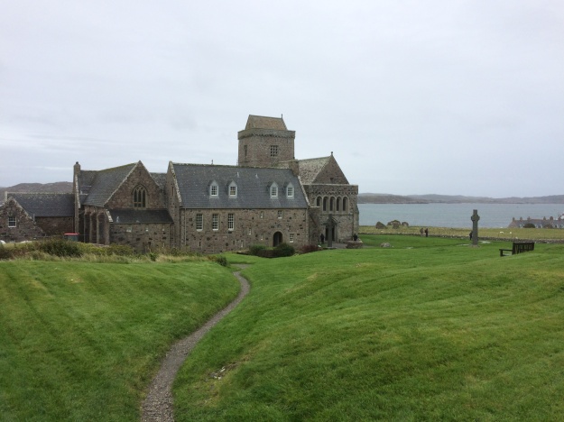
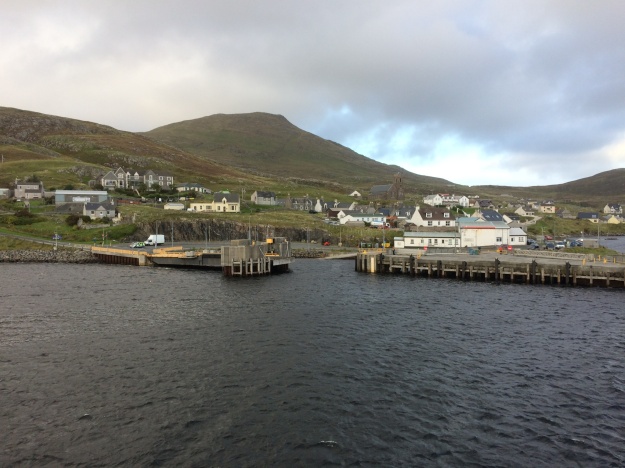
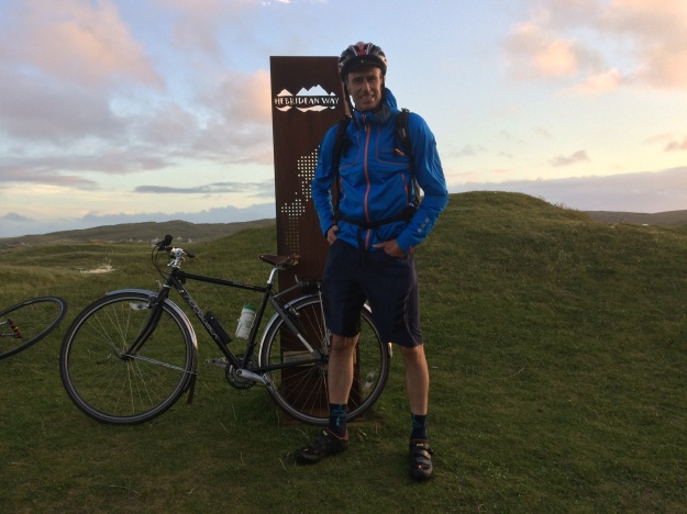
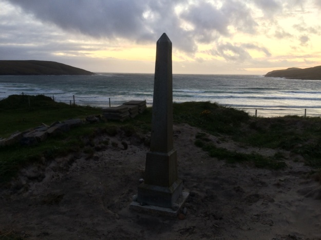
I really wanted to visit the island of Iona but it would be a detour of at least 40 miles to do so and I would still have a long ride to get to Tobermory after that. In the end I decided to go for it and kept up a steady pace all the way to Fionnphort where a regular ferry does the short hop to Iona. The crossing was quite choppy and the ferry captain said that they would be halting sailing early because of an impending storm, so I had about an hour on the island and made my way up to the famous Abbey for a look around before returning to Mull and the 20 mile ride back to the head of Loch Scridain to continue my journey to Tobermory. It was quite calm cycling through Gleann Seilisdeir but when I descended down to Loch Na Keal the weather got quite wild with some very strong gusts making cycling hazardous. I had intended on cycling round the coast past Loch Tuath to Tobermory but in these conditions I had to bail and headed across the narrow neck of land to Salen and reached Tobermory via the main A849 road, the rain was very heavy by now but I couldn’t get much wetter and it was a relief to finally reach the hostel. I left Tobermory early in the morning to cycle back to Craignure and to catch the 09.45am ferry back to Oban as I was going to get the afternoon ferry out to Barra this afternoon, an island at the Southern end of the Outer Hebrides. The ferry from Oban to Castlebay on Barra takes 4hrs 45 minutes and during the voyage I got chatting to Helena a student from Glasgow who was also going to do the Hebridean Way, we agreed that after we landed we would team up and do the short ride over the causeway to Vatersay and to try and find the elusive sign signalling the start of the Hebridean Way which had eluded me last time, the poingent Annie Jane memorial is close by too, so we visited that also. After this Helena checked into the Dunard Hostel in Castlebay and I cycled off into the twilight heading for Barra Airport (Traigh Mhor) to bivi on the beach. Early the next morning I cycled further North on Barra and had a look around small church of Cille Bharra before catching the ferry for the 40 min voyage from Barra to the small island of Eriskay, which is connected to South Uist by a long causeway.

Part of the causeway linking Benbecular to North Uist

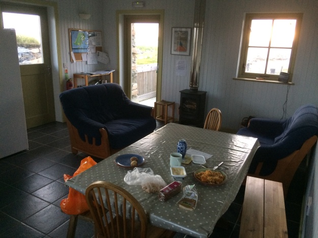
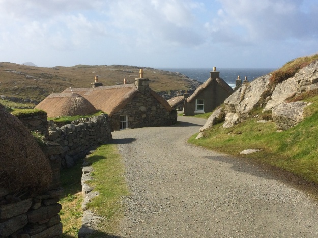
South Uist is fairly flat and the cycling is easy (providing the wind isn’t a problem!). I stopped off again at the Kildonan Museum cafe for some hot food, which has what looks like a Viking longboat parked outside it. The Hebridean Way continues Northwards along the main road and every now and then there is a detour off into the Machair, a low lying, fertile grassy plain, before returning to the road, then past Our Lady Of The Isles statue and over another causeway to Benbecular. This time I took the coast road which passes a supermarket and the airport. Yet another causeway takes you onto North Uist, i took the West coast route and the terrain here along the single track road is more undulating and harder work than earlier in the day. Eventually the final causeway of the day came into view, the one leading to Bernarey, last time I was here I stayed at the picturesque Gatliff Trust hostel but this time I decided to check out John’s Bunkhouse and I’m pleased I did as it was a very comfortable and pleasant place to stay. Chatting to a couple of other cyclists who were also staying at the Bunkhouse it was clear that the weather the day after tomorrow was going to be pretty horrendous for cycling, with rain and very strong winds forcast. I wasn’t booked in anywhere for accommodation tomorrow yet so I decided the best plan was to catch the 07.15am ferry from Bernarey to Leverburgh on Harris and see how far I could go. Harris is quite mountainous and has some long road climbs but with a strong Westerly blowing most of the day they didn’t really seem that bad and I was making really good progress and very soon I was past the turn off for Rhenigidale, which was as far as I got last time, with all the big hills behind me. The section where I turned off the main A859 and headed West to Callanish was torturous however and was straight into the wind. I stopped off to see the impressive Callanich standing stones and also made a small detour to see Blackhouse village at Gearranan.

The Callanish Stones on the West side of Lewis are arranged in a cruciform pattern.

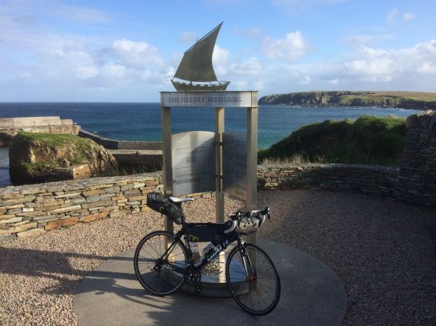
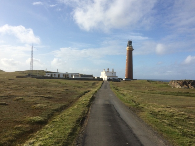
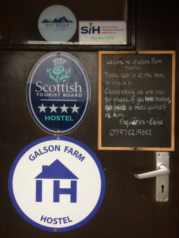
Now the wind was greatly helping me and I was flying along the never ending road on the top of Lewis and reached Port Nis at 4.30 pm, from here it another 2 miles or so on a side road to the iconic end of this ride, the impressive Butt of Lewis Lighthouse. Now I had to find somewhere to stay for the night, the weather was changing, it was getting cold and windy and rain wasn’t far away, i tried at the pub a couple of miles back up the road and they suggested Galson farm about 4 miles away so I headed there and very luckily I got the last bed. It was only a small farm type hostel with 6 beds but it was warm and cosy and had a small kitchen to cook dinner, what more could you want after a long day in the saddle? As forecast the weather the next day was very bad, i had 20 miles to do to get to Stornaway so I made an early start. Progress was painfully slow against the wind and as soon as I turned South onto the exposed A857 that heads up and over the moors to Stornaway it became quite dangerous with very strong side gusts forcing me to walk at times, it was a massive relief to finally drop down into town. I checked into the cosy Heb Hostel and headed straight for a hot shower and some dry clothes then had a wander round town and explored the culinary delights of Stornaway. Before catching the 3.00pm ferry to Ullapool the next day I had time to cycle the length of the Eye Peninsula and visit another impressive lighthouse at Tiumpan Head, on the way back I made a small detour to see the Iolaire Memorial recalling the loss of over 200 lives as HMY Iolaire, which was carrying troops home from the First World War, hit rocks and sank very close to Stornaway in 1919. I stopped that night at the lovely Ullapool Youth Hostel and the following morning set off at 8.00am to cycle the final 60 miles of this holiday to Inverness Youth Hostel,  the next day I caught the train home.

The Outer Hebrides, July 2019

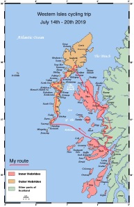
Map from Wikipedia Commons by Kelisi

The West Coast of Scotland is a great place to go bike touring and with a week off I headed back North, this time to Oban, a place I had never been to before, to continue my exploration of this beautiful area. My original idea was to take the ferry to Mull and spend some time there but having looked at some of the ferry options available I decided to head for the Outer Hebrides instead. Caledonian Macbain run the ferry services from Oban and are a great way to get around the western isles, for cyclists they are amazing value too as bikes go for free, you just pay a foot passenger fee. In summer the ferry leaves Oban at 13.30 for the 4 hour 45 minute voyage to Castlebay on Barra, at the Southerly end of the Hebrides, (the ticket cost £15.15 one-way).

Day 1 (Mon 15th July)  Oban to Barra    With the ferry departing at 13.30 this left the morning free to explore Oban on the bike, I first went along the quiet, dead-end coastal road for 2 miles or so to explore the peaceful sandy bay at Ganavan, then retraced my route back into town to visit McCaig’s Tower on Battery hill which overlooks the town, it’s not very far to the tower but it’s up some very steep residential roads and with a fully packed bike it got me huffing and puffing up to the top. It’s well worth the effort though as the views are stunning. Next it was back into town for a short scenic ride along the Sound of Kerrera, I only went as far as the campsite though. Then it was back into town for a full Scottish breakfast and waited for the ferry. The weather stayed warm and sunny for the rest of the day and I spent most of the outward ferry journey outside, on the upper observation deck, chatting to Angela, who was also with her bike. She was hoping to do the Hebridean Way cycle route (waymarked as route NCN 780), which starts in Vatersay and finishes on the Northerly tip of Lewis , a total of 185 miles. I knew nothing about this route and was just hoping to visit the islands. The Hebridean Way cycle route was launched in 2016 and Mark Beaumont was recruited to ride the 185 mile route in 24 hours to publicise it. Once off the ferry we turned left and cycled to the end of Barra and over the causeway to Vatersay and continued on until we ran out of tarmac and then returned to Castlebay where Angela was booked into the handily placed Dunard Hostel, unfortunately they were now completely full, so I headed back to Vatersay by myself, to a beautiful white sandy beach we passed earlier and found an ideal spot for an overnight bivi.

Causeway just North of Gramsdale on North Uist

Day 2 (Tuesday 16th July)  Barra to Berneray   After a good nights sleep I awoke about 6.00am and packed my stuff away in the pleasant morning sun. I then cycled back to Castlebay and up a rather long steep hill to the ferry on the far side of the island, this would take us across the Sound of Barra to the small island of Eriskay. Here I teamed up with Angela again as we traversed the island and crossed the causeway to take us onto South Uist. The terrain on the Uist’s in general was fairly flat and the direction we were going meant that the South-Westerly wind was on our backs most of the time. After a while cycling we called into the Kildonan Museum and cultural centre, it also has a good cafe where we stopped for a coffee and a meal. We then continued North on the main road, which became increasingly a single track road with passing places and crossed over the causeway onto North Uist and took the left hand fork at Clachan that took us round the top of the island, past Sollas, before turning off north and crossing yet another causeway onto the island of Berneray. The weather was changing now and becoming quite stormy and we rolled into Bernarey Hostel about 5.00pm, it was only a couple of small, single storey thatched roofed cottages and it looked quite full, luckily there were a couple of free beds. There was a lively and mixed group of people staying there that night, a mixture of cyclists, walkers and travellers some of whom were heading North to Stornaway for the Hebridean Celtic Festival (HebCelt), which was happening at the end of the week. We went to bed that night with the sound of folk songs being sung in the kitchen next door.

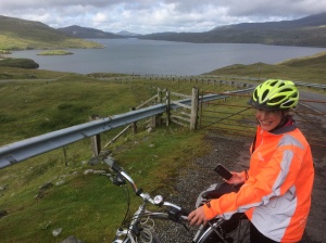
Angela on the way to Rhenigidale…

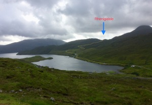
Day 3 (Wed 17th July)  Berneray to Harris    We awoke to the sound of wind and rain lashing against the windows and it looked like it was in for the day. After a quick breakfast it was back on the bike again for the 2 miles or so trip down to the ferry landing, this would take us across the Sound of Harris to Leverburgh on Harris. There was no let-up in the rain and soon we had to stop to put all the rain-gear on. We passed some fine looking beaches which looked stunning even in the deluge and the terrain was certainly more hilly than the Uists with some long climbs on the way to Tarbert. It was a relief to finally pull in to town and we looked straight away for a cafe to get some food and get warmed up again, but everybody else seemed to have the same idea and they were full, so in the end we settled for the local fish and chip shop instead. Tarbert is a ferry port with regular sailings to Skye (Uig), there is also a gin distillery with whisky on the way too, it has a good little store selling most things and a Hostel, which was also full. Refreshed and warmed up we set off again heading North to try the Hostel at Rhenigidale, about 21km away, it’s another long, steady climb through the hills but the turn-off for Rhenigidale soon appears, it’s a very quiet road that drops down to the shores of Loch Seaforth, before a long steep climb over the pass and a steep drop down to the charming hamlet of Rhenigidale with its hostel. We got there about 4.00pm, enough time to get some gear washed, get a shower and sit outside in the now much improved weather and enjoy the situation of this very pleasant hostel with some nice people. It was even more pleasant when another guy turned up with 2 bottles of single malt and insisted on sharing most of it. I was now running out of time on this holiday, I really wanted to complete the Hebridean Way, all the way to the lighthouse at the Butt of Lewis but that wouldn’t leave me enough time to get back to Oban on Friday, so I was resigned to cycling back to Tarbert tomorrow and taking the ferry from there to Uig on Skye and cycling back to Oban.
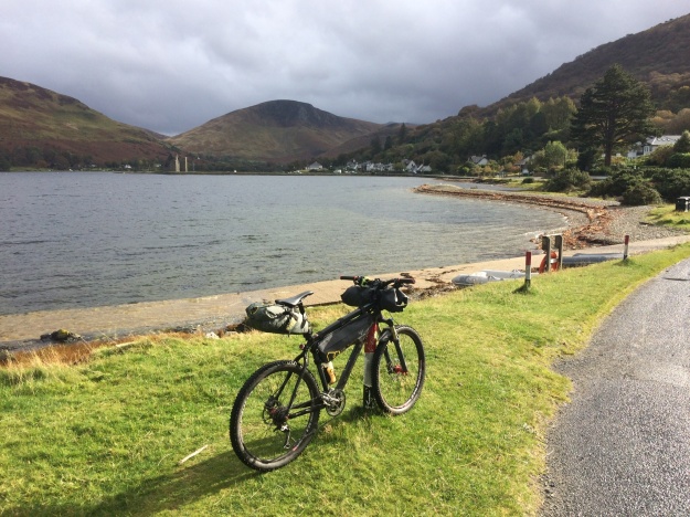
Uig Bay in Northern Skye with the Ferry that travels to Harris (Tarbert) getting ready to sail.

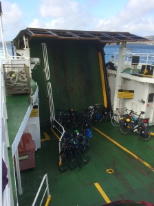
Day 4 (Thurs 18th July)  Harris to Skye   It was hard saying goodbye to my cycling companions knowing they were going to complete the ride but it gives me a reason to come back here one day. It was a steep pull-up almost immediately from leaving the hostel as the small road weaved its way up and down and back to the main road to Tarbert, I managed to make it back to town in the dry but as soon as I did there was a torrential downpour. The ferry to Skye took a couple of hours and was a chance to get a coffee and relax a while, it was about 2.00pm as I cycled away from Uig under leaden skies, it didn’t take long for the rain to start, gentle at first then a full-on prolonged deluge. I kept on going and as I approached Sligachan the traffic got quite busy, a mixture of heavy rain, traffic and road spray made it quite an unpleasant ride, conditions eased by the time I reached Broadford at about 5.00pm but I’d had enough by then and checked into the backpackers hostel there. After a hot shower and a change of clothes I felt much better and headed off into the small town for pasty and chips and the local chippy.

Day 5 (Fri 19th July)  Skye to Oban   I left Broadford the next morning at about 8.00am and after yet another heavy shower, which lasted for an hour or so, conditions rapidly improved and turned it into a beautiful day for cycling. I turned right off the main road and headed down the A851 for 17miles, heading for the ferry at Armadale, it was a quiet pleasant road. I didn’t have long to wait here before the Mallaig ferry arrived for the 30 minute crossing of the Sound of Sleet, back to the Scottish mainland again.  I followed the main Mallaig to Fort William road for 19 miles to Lochailort before turning off right on the much quieter and very scenic A861 which heads down to Strontian, then around the head of Loch Sunart, then up a very long steep climb, before eventually dropping down to Lochaline, where there is a ferry across the Sound of Mull to Fishnish on the island of Mull. I had enough time here to enjoy a much needed cheese burger and mug of tea before the ferry arrived for the 30 minute sailing. Once off the ferry on Mull it was an easy 5 mile ride down to the main ferry terminal at Craignure for the hour long crossing back to Oban, arriving there about 8.00pm. I was already booked into the very comfortable Oban hostel a short distance away along the sea front.

I really enjoyed this week away, it was done at short notice and I never really had anything planned, carrying the sleeping bag and bivi bag gives you the flexibility and confidence to do this, as you know whatever happens, you have got somewhere to sleep. I had explored a part of Scotland I’ve never been to before and it has given me ideas for lots more trips around this area.

The Cairngorm Loop April 2017

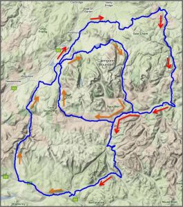
The Cairngorm Loop is a 186 mile mountain bike route that takes in some of the best tracks and trails that the area has to offer, the challenge of the event is to complete the 186 miles in under 56 hours. You can do this at any time but twice a year (April and September) there is a group ride, effectively a race, there is no entry fee or prize money and it is totally unsupported, you ride as if doing it yourself and no caches or pre-booked accommodation is allowed. More information about the challenge is on the Cairngorm Loop webpage. I put my name down for the April group ride and this was to be my motivation over the winter to get in shape to complete the challenge, it also gave me some time to think carefully about the gear and equipment I would need and also plenty of time to get the bike in good mechanical working order. The bike I use is a 7-year-old Specialized Rockhopper SL hardtail mountain bike, with a 21 inch frame, it has 26 inch wheels, Deore XT gears, Avid Elixir disc brakes and a Rockshox Reba front fork. It fits me well and has an excellent light weight aluminium frame. I hit the trails at the weekend with it and use it for commuting to work during the week, I try to clean it regularly, particularly the drive train and keep it well lubed. However little problems were starting to mount up though, skipping gears, damaged chainring teeth, hard gear shifts, rattling pedals and a rough feeling back wheel…. time for a major overhaul.

Preparing the bike…

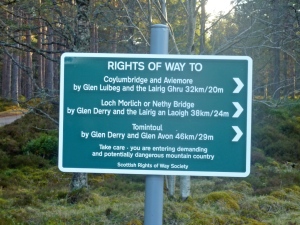
  • Wheels   The wheels i have at the moment are an upgrade from a couple of years ago and they have Stans ArchX tubeless ready rims and run on Hope hubs which use cassette bearings, which makes servicing a bit easier.Sign on the Linn of Dee roadThe front wheel was running smooth but the rear wheel was feeling rough so I took the cassette cluster off and then removed the free wheel body, on Hope hubs this just pulls off and comes off with a pop, being carefull not to lose the washer which sits behind it. This gives access to the rear wheel bearings and I could feel with my fingers that one of the cassette bearings was turning very roughly and needed replacing, you tap these out with a drift (or a screwdriver if you are feeling brave…) Hope sells servicing kits which makes knocking these bearings out and back in square a lot easier. With the new bearing in the wheel it was turning smooth again. Before replacing the free hub I removed the 4 pawls and springs (responsible for that distinctive Hope buzzing sound) and cleaned everything up for inspection and found out that one of the springs was broken… this seems to be a problem with Hope hubs as I have broken quite a few, anyhow I replaced it with a new one and greased everything and popped the freehub back on the wheel and made sure it was spinning ok.
  • New cassette  (Shimano XT M770) 9 speed 11-32 ratio, replacing the old 11-34 cassette as I found I was very rarely using the largest 34 cog.
  • New chain  (Shimano HG93) 9 speed. The last time I used a reusable link to join the chain, thinking I could then take it apart for cleaning, in practice I never did though so this time just used the pin Shimano supply with the new chain to join it together. Those re-usable links are handy to keep in your saddle bag though together with a small chain tool for any problems out on a ride.
  • New chain rings  (Shimano Deore FCM590) 44-32-22 ratio. I took the crank arms off the bike to clean everything up and fit these 3 chain rings. You need to make sure you fit these the right way round, particularly the middle one. I fitted the last ones and I think I put it round the wrong way…. I’m sure now that this was responsible for some of the gear change slips I was getting as the Ramps and teeth profile wouldn’t be aligned optimally. With the cranks off it was a good opportunity to clean and re-grease the bottom bracket too.
  • new Jockey wheels  (Shimano 105 RD-5700). This set is compatible with lots of derailleurs including mine, again care need as they are slightly different, the guide pulley is the top one and the tension pulley is the bottom one. I took the derailleur off the bike to replace these as I wanted to give it a good clean and was surprising how much gunk came out of it. After a good soaking with bike spray and oil it was moving much more smoothly.
  • New gear cables  (Shimano MTB stainless steel gear cable set). Everything you need in one bag, cables and outer housing, end caps and cable stops too.
  • Headset service The bearings at the top and bottom of the steerer tube taken out cleaned and re-greased. I use a small neoprene collar attached with Velcro around the bottom of the steerer tube to help keep the worst of the mud and water out of the bottom bearing.
  • New pedals  (DMR V12 platform pedals). The old pedals were the original alloy ones that came with the bike, they were still usable but were starting to rattle quite a bit.
  • New tires  (Schwalbe Nobby Nics Evo, tubeless snakeskin, (26×2.25) pace star compound). The rims on my wheels are ZTR Stans Archx which are fully compatible with tubeless setups so this is the way I went front and back. The front tyre inflated straight away and soon after I heard the explosive pinging sound of the beads locking into the rims but with the back tyre I had a much harder job, even getting it inflated was tough but to get the beads locked in I tried all sorts of recommended tricks, washing up liquid on the beads, putting a tube in and trying to seat it that way (that got one side seated ok…) what done the job in the end was removing the core from the tubeless valve to allow a greater airflow from the track pump into the tyre, then pumping away furiously until finally with the sweat pouring from my brow I heard the explosive pings of success as the beads locked in. Once the beads are locked in you can deflate the tyres and the beads will stay in place, then you can inject the recommended amount of sealant into the valve hole and put the core back in and inflate the tyre as normal. They should now be immune to normal punctures as the sealant will quickly find and fill the hole in the tyres as it is spinning inside the tyre. The sealant does eventually dry up so check every now and then, I still carry a spare tube, patches and inflater just in case though!

Clothing and equipment…

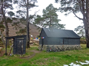
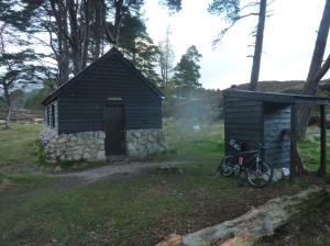
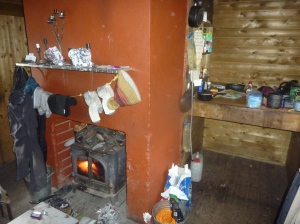
Bob Scott`s Bothy

Something you have to think carefully about is the clothing and equipment you take with you on the ride and that is largely dependant on the weather you are expecting, in Scotland at the end of April that can be a very tricky subject to predict! True to form the week before I travelled up to Braemar, winter returned to large parts of the country for a few days, with fresh snow and freezing northerly winds. On a bike it’s the extremities that feel the cold first, so a warm hat that fits under a helmet and winter mountaineering gloves went in the bag, along with a lightweight Montane insulated jacket which provides instant warm, particularly under a thin waterproof. Footwear choice is very important too as the route fords several rivers with no real choice but to wade straight across and this can lead to very cold feet, after much thought I decided on using my old Mammut summer walking boots, they were lightweight, comfortable and had room to get a nice thick wool sock inside too, which I was hoping would feel warm even when wet and they would be perfect on the hike a bike sections too.

Bob Scott`s Bothy

Another big choice has to be made about your sleeping system, how much do you intend to get? and where do you plan to get it? There are bothies on or near the route but conditions on the ground may make you slower than expected or they could be full when you arrive there. I decided to take a lightweight down sleeping bag and a Alpkit Hunka bivi bag, so in theory I could stop anywhere. If you intend riding in the dark you need a good light and these can be expensive, the best mountain bike specific ones are probably by a brand called Exposure, I did have a look at cheap Chinese ones on eBay and was tempted but in the end I decided I would just use my old MYo XP head torch and some spare batteries. I probably would have left the stove and pot in the car just to save weight, the ready cooked meals in a bag are just as nutritious cold. Also there are places on the route to buy hot food if you arrive when they are open. To carry all this gear I used an Apidura seat-post bag (compact size,11 litres), this carried my sleeping bag wrapped inside a plastic bag and I also used a very light-weight OMM 20 litre rucksack for the other stuff including food, some tools, spare socks, maps, compass and a small first aid kit etc.

Waiting for race day…

Confluence of the Eidart and Feshie rivers

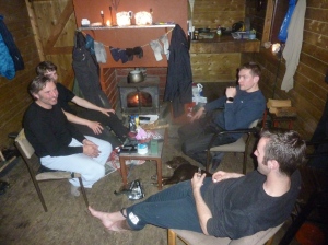
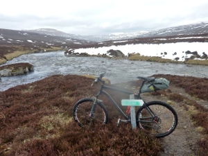
I drove up to Braemar on Thursday arriving just after 6pm, I got something to eat then reassembled the bike and packed some gear for an overnight bothy stop and set off on the 6 mile ride to the Linn of Dee, just past the car park there is a signed track that heads off north into the heart of the Cairngorms, I took this and headed for Derry Lodge, an old abandoned shooting lodge. I was surprised to read on the notice board that there were plans to turn this lodge into a hostel with warden accommodation, I had mixed feelings when I read this, it certainly would be a good location but I think also it would lessen the remote feel and the commitment needed for the long walk or ride to access the Cairngorms from this side. Also there is a very nice bothy nearby and I wondered what the impact of a hostel would have on that….. it was starting to get a bit chilly when I arrived at the bothy, there were 4 people already in, 2 young guys and a Dutchman with his son, they had the stove going strong and candles lit and it was a very cosy warm atmosphere. They had been up in the hills the day before and said the conditions had been really tough, deep soft snow in places, cold wind and rivers in spate with a thaw setting in.

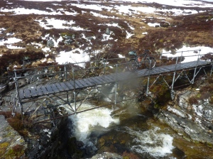
Eidart Bridge

The next morning I wanted to recce a section of the race route from Glen Derry to the Eidart bridge as I would possibly be doing this section in the dark come race day, so I headed off past Derry Lodge and then north up Glen Derry to the edge of the forest to check the terrain out, I turned round here and headed back to the Linn of Dee and carried on west along the track to White Bridge and followed the track heading along Geldie Burn, a couple of hundred meters before this track crosses the river there is a smaller track heading off on the right, this leads eventually to the Eidart bridge. Up until now the cycling had been easy with a nice firm stony track to follow but now on this smaller track it was much harder because it was so wet and boggy and in places soft snow, in fact I ended up pushing the bike nearly all the way to Eidart bridge, this was as far as I went and I now retraced my route back to Braemar, however things didn’t go smoothly, just before White Bridge on a rough land rover type track I caught my front wheel in a rut and I came off the bike and my left knee hit a rock with some force. At first I just tried to walk it off and ride the easy bits but it soon started swelling up really badly and I slowly realised the race tomorrow was over for me, all that preparation and planning ruined by a lapse in concentration on an easy track, by the time I eventually reached the car in Braemar it was hurting quite a lot and it was difficult to bend it. The next day I went to the hospital to get it checked out and an X-ray confirmed that I had a clean break of my left knee cap and I’m writing this with a full leg cast on wondering when I will once again be back in the Highlands…..

Discussing this accident with friends when back home we talked about the best ways to get help if ever you are out in the wilds and need to contact the emergency services, this little video by Lyle Brotherton contains some very useful information. https://www.youtube.com/watch?v=XPZv_8dABfU