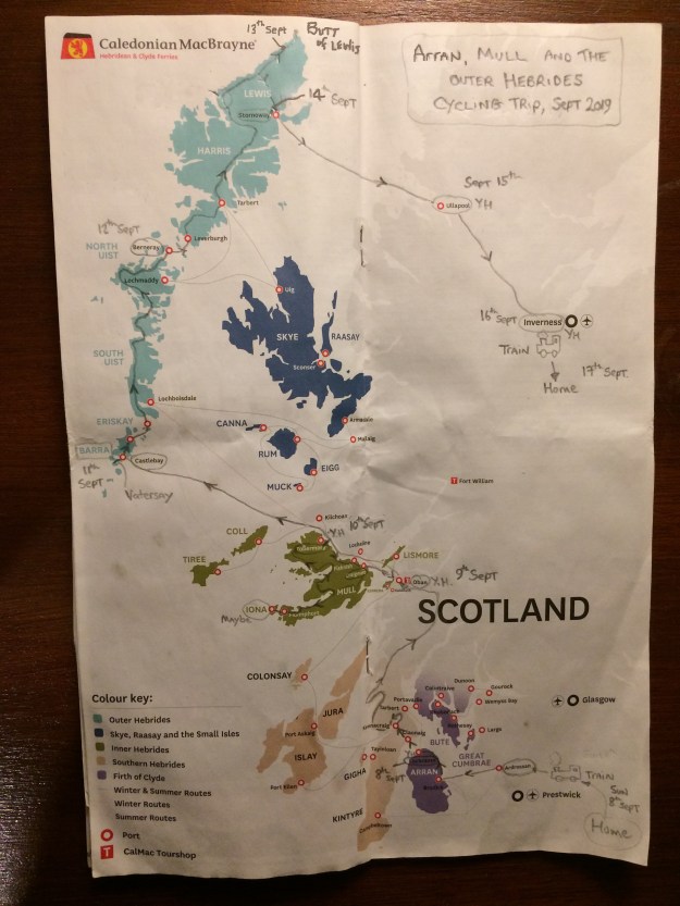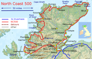

Arran Map
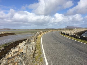
I first visited the island of Arran briefly in September 2019 on my way to a cycling holiday on the Outer Hebrides and was impressed by the outdoor possibilities, so I decided to return again in October and spend a few days exploring the island. Situated on the beautiful West Coast of Scotland, Arran is very easy to get to by public transport therefore I left the car at home and took my mountain bike with me instead. I got the mainline train to Glasgow Central , then caught another local train to Ardrossan Harbour, which is right next to the ferry terminal. The train and ferry timetable are intergrated so I had 30 minutes to buy a ticket for the 55 minute ferry ride to Brodick on Arran. The island is not very big, it is approximately 20 miles long by 10 miles wide, a road follows the coastline and is 56 miles long. For my first day here I decided to explore the Southern half of the island by bike, setting off from Brodick to Lamlash, Whiting Bay, Kildonan, Blackwaterfoot and returning to Brodick Bunkhouse via the String road.
Day two on this exploration of Arran was a tough and spectacular walk around the mountains in the North of the island that surround Glen Rosa, you can read about my day out on the Glen Rosa Horseshoe here.
After yesterday’s exertions doing the Glen Rosa Horseshoe I thought it would be a good idea to do a gentler walk today and set off to do part of the Arran Coastal Way. I set off from the Bunkhouse in Brodick for Lamlash, which is 3 miles away via the Fairy Glen track, Originally i had intended to get the ferry from Lamlash to the Holy Island and maybe climb the big hill there but it had stopped running for the season now and would be Easter before it started again. Leaving Lamlash I turned right onto the Ross road which crosses the hilly interior of the island, i took this road as far as the forestry commission car park, where I followed the signs for the Arran Coastal Way (high level alternative) which snakes it’s way uphill along a wide forestry road for a couple of miles. I’m not a big fan of walking in man made forests as they can be very boring and this one was no exception but eventually i came to a path split and the one i took went to Glenashdale Falls. A finger post leaves the main track and goes to an man-made viewing platform from where the impressive two-tier falls can be seen unimpeded. There are some good views over to the Holy Island and Whiting Bay on the way to the next point of interest which was the intriguingly named Giants Graves, which are the remains of two Neolithic chambered tombs, set in a flat grassy area with great sea views it’s a good place for a picnic. I then headed down to Whiting Bay via a steep eroded path and headed North along the pleasant bay road before turning off right and heading for Kingscross Point. I was hoping to walk along the Coastal Way back to Lamlash, however the tide was in and this made the path totally impassable, I had no option but to return to the road for a mile or two before a short cut lead me down to Cordon and Lamlash. It’s a very pleasant walk along Lamlash Bay with great views over to the nearby Holy Island. I followed the small road around the bay to Clauchlands and up past the farm to the ancient site of Dun Fionn fort and the nearby trig point which gives panoramic views of Arran, i then took the small road that leads back to Brodick.
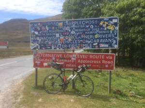
After two tough days of walking on Arran it was time to get back on the mountain bike and explore the rest of the islands roads. The plan was to set off from Brodick and ride down to Lamlash again, from there I would pick up the Ross road that goes across the island and then head North to Lochranza Youth hostel where I would stay the night. Instead of riding on the road to Lamlash, i went off-road and took the narrow track through the Fairy Glen, which I had walked yesterday, this track takes you all the way to Lamlash where I turned off right onto the Ross road and headed across the island. The road is nice and flat to start with and has recently been resurfaced but it soon starts getting steep and it’s a long steady climb that keeps on going. The road crosses a remote and quiet part of the island and about half way across there is a Buddhist retreat center. Eventually the Ross road rejoins the main coastal road not far from Lagg, where the new whisky distillery has just opened, here I turned right and headed North through Blackwaterfoot and on past the tourist hotspots at King’s Cave and Machrie Moor standing Stones. The road hugs the coastline and is relatively flat apart from one short steep bit near Imarcar and in calm conditions like today it made for easy cycling, i can imagine with a strong Northerly wind it might be a different story. I rolled into the beautiful and peacefull Lochranza at about 1.30pm. To fill the rest of the afternoon i went to the Lochranza distillery and went on a very interesting tour and followed it up with a tutored tasting session immediately afterwards where the drams kept coming….

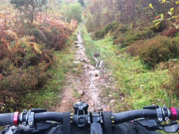
This was my last full day on Arran and on paper it looked like the easiest one, cycling from Lochranza to Brodick….. if i took the main road it would be only 14 miles, a steep climb out of Lochranza up the Boguillie climb followed by a swooping descent and a largely flat ride into Brodick. However there is another way and this is the reason i brought my mountain bike on this trip. This off-road route uses sections of the Arran Coastal Path from Lochranza to Sannox, followed by a short road section past Corrie before entering Merkland Woods for the final section into Brodick. After a leisurely breakfast at Lochranza Youth Hostel, i got chatting to the warden who was also a mountain biker, he warned me that with the heavy overnight rain large sections of the route would be very muddy and difficult to ride but i decided to go ahead anyway and was prepared mentally for any hike-a-bike sections on the way. Leaving the hostel i cycled up the road and turned off left to the golf course and explored the tracks around Newton point, one goes along the coastline and the other climbs quite steeply and gives great views back over Lochranza. With my curiosity satisfied i then set off on the route proper, along the track to the right this time and climbed steeply up a stony path/track heading for Laggan Cottage. The hostel warden was certainly correct about the difficult conditions, this was more like a stream bed and was unrideable. At the top of the climb there are good sea views out over the Firth of Clyde and the isles of Bute and Cumbrae. The long grassy slopes leading down to the dilapidated bothy of Laggan Cottage were treacherous in the wet conditions and it was a relief to get back onto level ground, though the coastal path was still quite rugged, all the way to the aptly named Fallen Rocks, after this it’s an easy ride to Sannox. A short road section was next, taking me past Corrie and then I turned off right into the forest at the Moal Donn car park. This rough potholed forest track was quite hilly and had some steep ramps in places. There had recently been some logging activity here with piles of timber stacked up on the edge of the road and I may have missed a turn here because the track became very rough and muddy and was covered in the discarded branches from the felled trees, it was a great relief to finally emerge from this quagmire onto the well trodden path that descends from Goatfell. There are some good trails leading off this path and I explored a couple of them before finally rolling into Brodick.
-
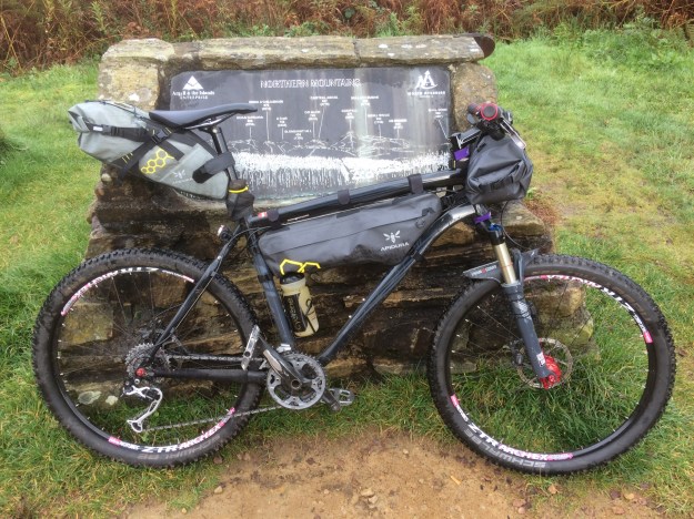
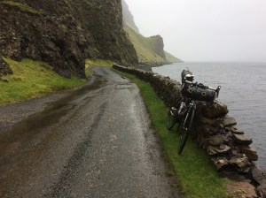
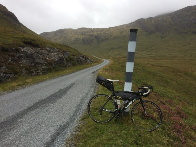
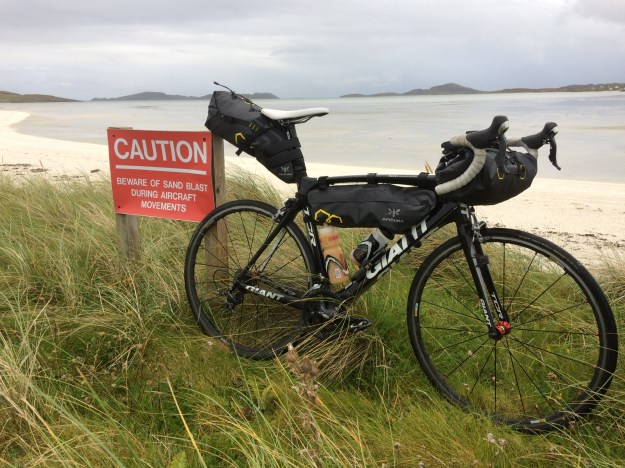
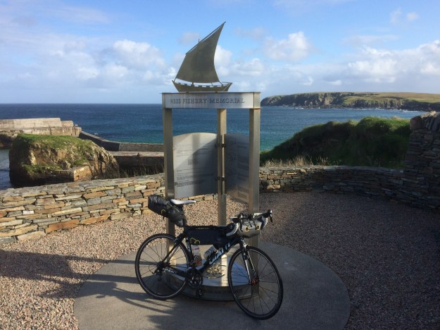
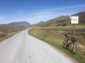
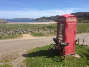
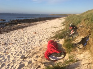
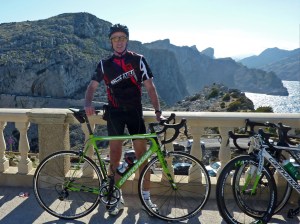
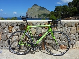
Specialised Hardrock SL mountain bike with Apidura frame fitting bags -
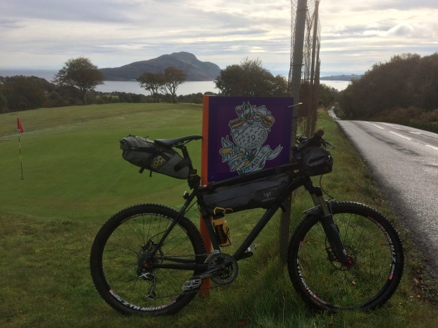
Lamlash Golf course with the Holy Island in the background -

Whiting Bay and the Holy Island -

The pyramid shaped Ailsa Craig and the flatter island of Pladda on the descent down to Kildonan. -
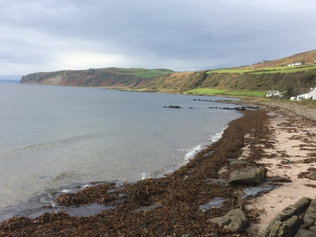
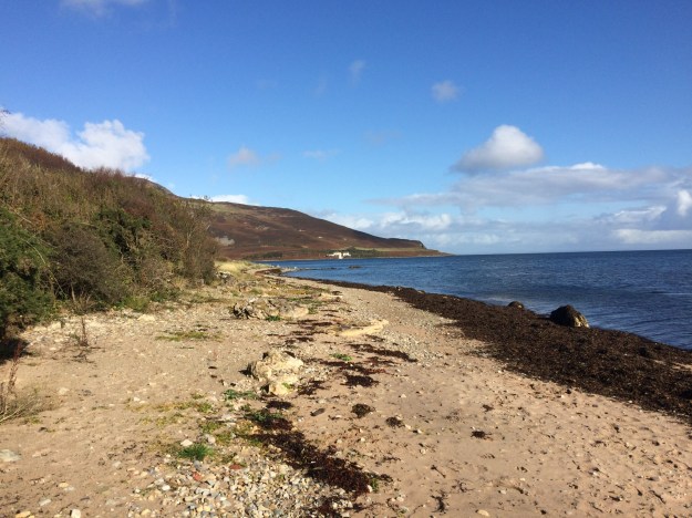
Arran coastline from Kildonan -
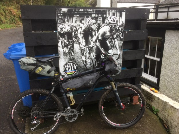
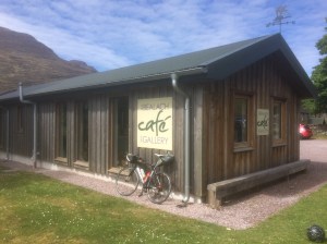
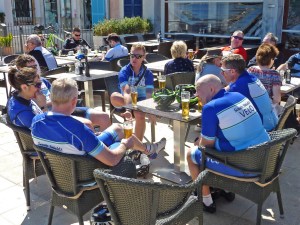
Velo cycling cafe at Lagg on Arran -
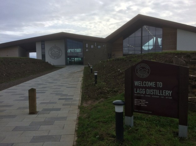
The Lagg Distillery on the South of Arran opened to the public in June 2019, it promises a range of peaty malts. -
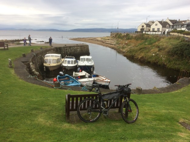
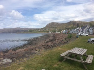
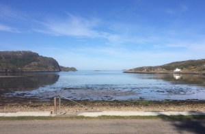
Blackwaterfoot Harbour -
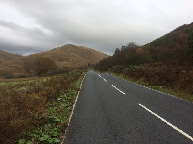
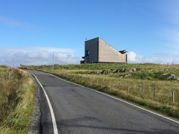
The String road on Arran, heading for Brodick -

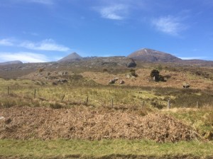
Northern Mountains on Arran -

Northern Mountains on Arran -

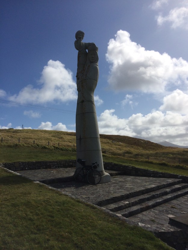
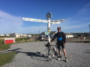
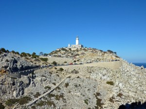
Holy Island info sign at Lamlash -
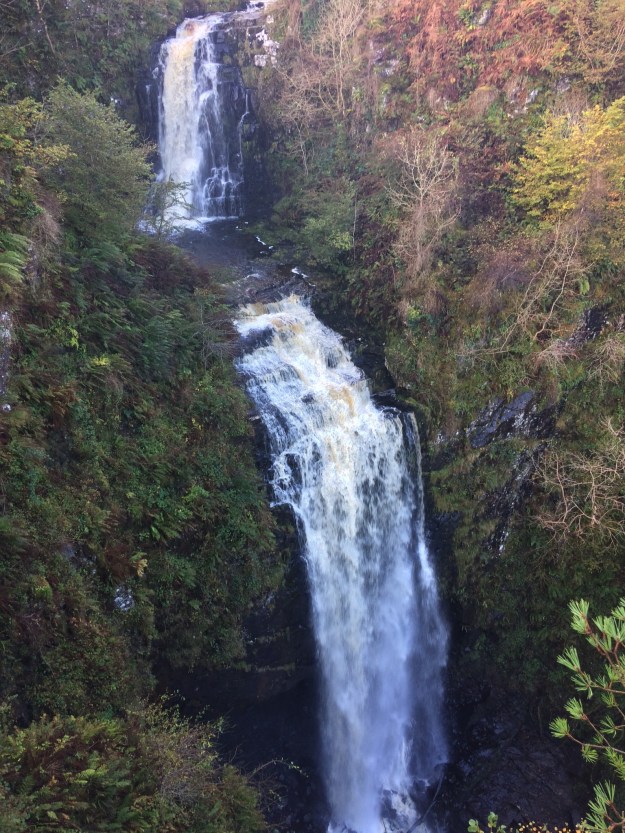
Glenashdale Falls near Whiting Bay -

Giants Graves near Whiting Bay -
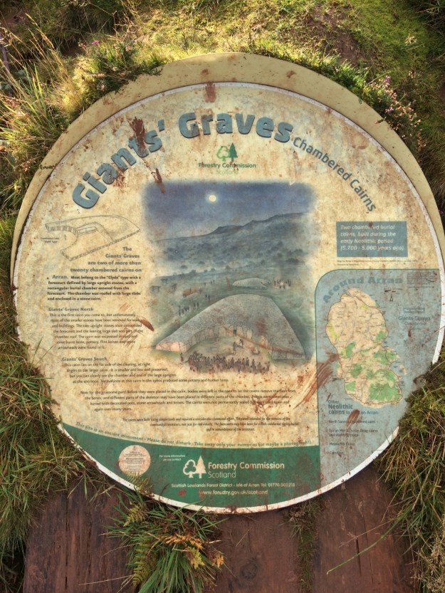
Giants Graves near Whiting Bay -
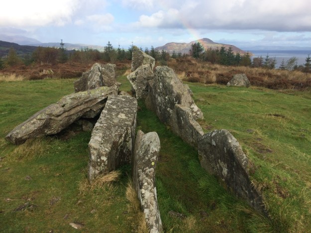
Giants Graves near Whiting Bay -

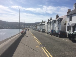
looking over Whiting Bay to the Holy Island -

Decorated bus shelter at Whiting Bay -
Part of the Arran Coastal Way between Whiting Bay and Kingscross Point. -
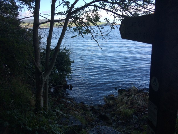
At high tide parts of the Arran Coastal Way are impassable, this section is between Kingscross Point and Lamlash -
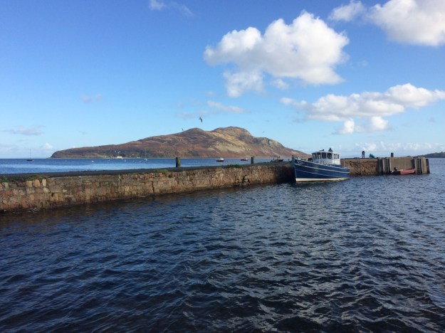
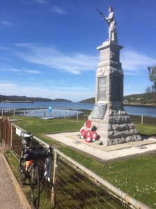
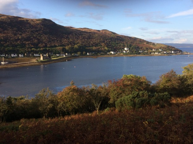
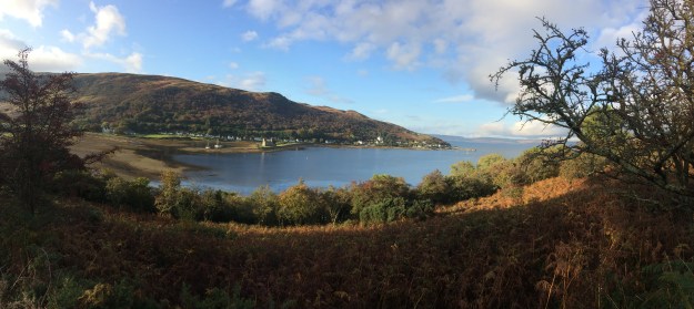
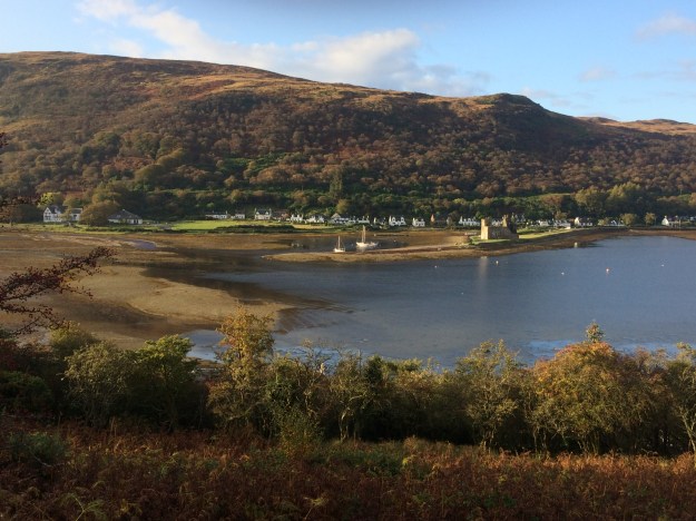
The Holy Island and Lamlash Pier -

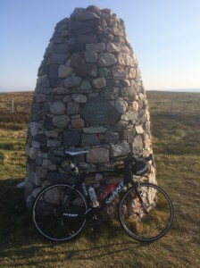
The Dun Fionn trig point on the Clachland Hills, looking South to Holy Island -

The Dun Fionn trig point on the Clachland Hills, looking NW to the Goatfell range. -

Brodick Bunkhouse -
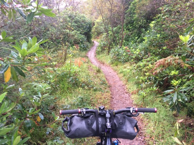
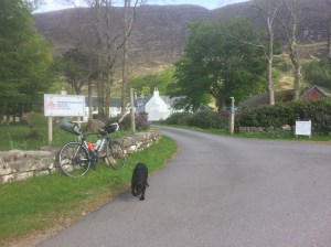
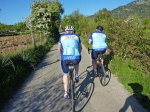
There is a good off-road track from Brodick (through the Fairy Glen) to Lamlash -
there is a good off-road track from Brodick (through the Fairy Glen) to Lamlash -
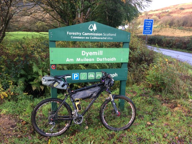
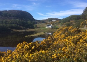
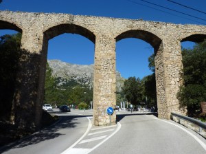
Dyemill on the Ross road -

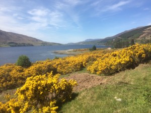
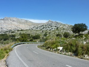
Ross road scenery -

Buddhist Retreat Centre on the Ross road , Arran. -

Blackwaterfoot -

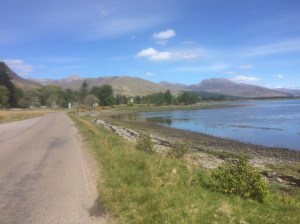
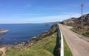
Coastal road at the North end of Arran, not far from Catacol. -

Catacol -

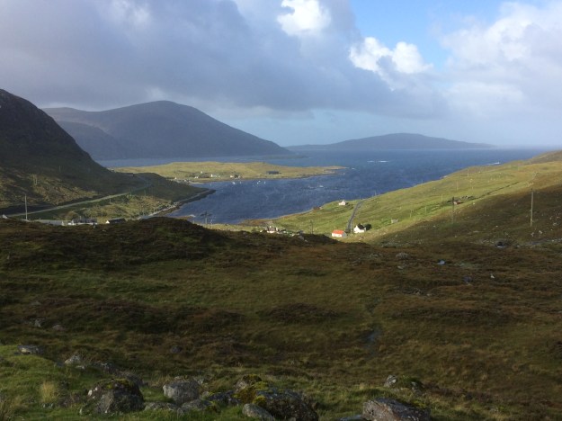
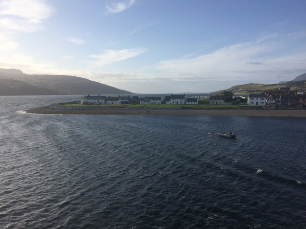
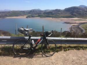
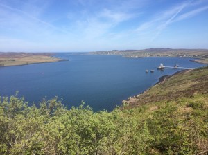
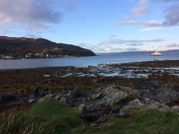
Lochranza from the North -
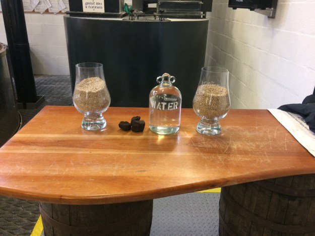
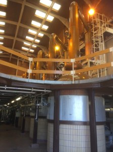
Lochranza whisky distillery tour -
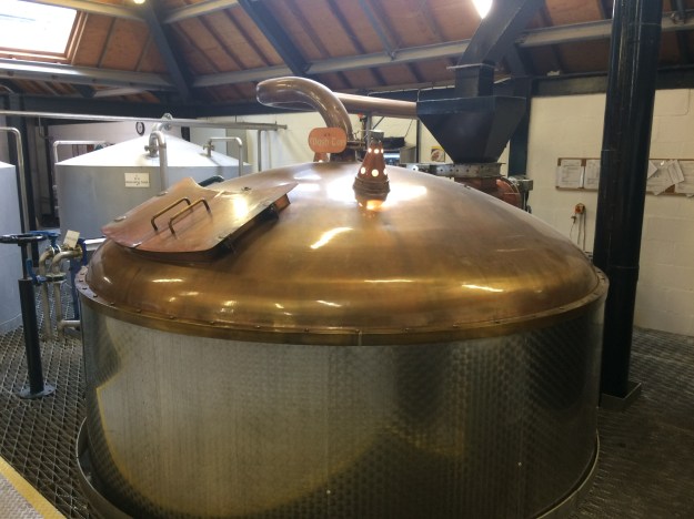
Lochranza whisky distillery tour -
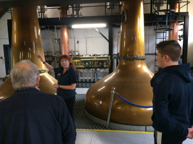
Lochranza whisky distillery tour -

Lochranza whisky distillery tour -
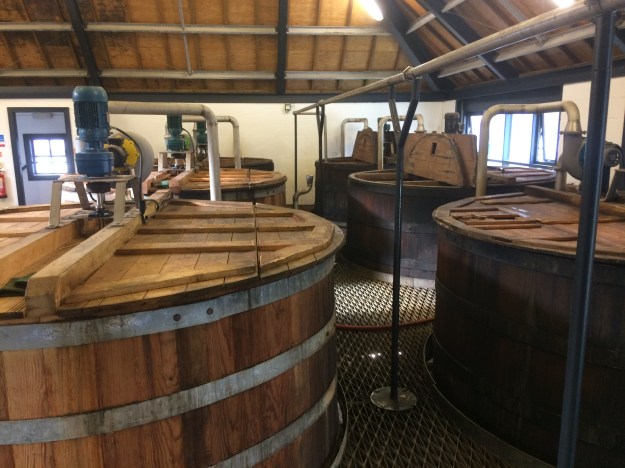
Lochranza whisky distillery tour -
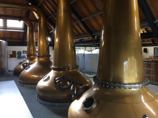
Lochranza whisky distillery tour -

Lochranza Whisky Distillery -

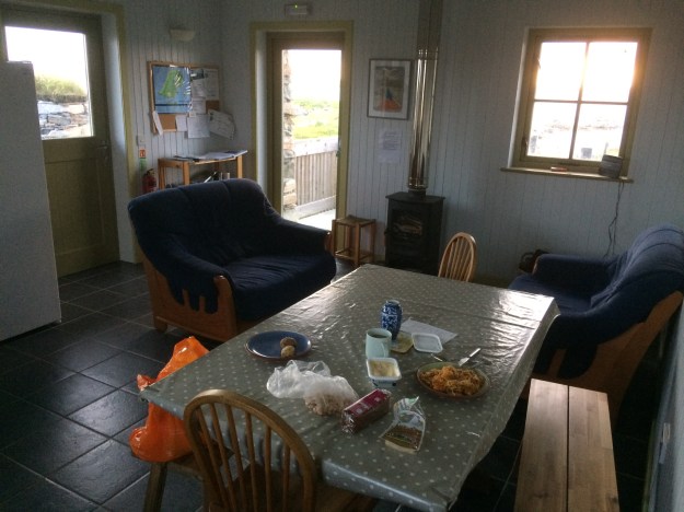
Lochranza Youth Hostel -

Lochranza Youth Hostel bike shed -
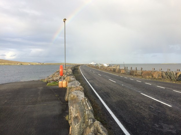
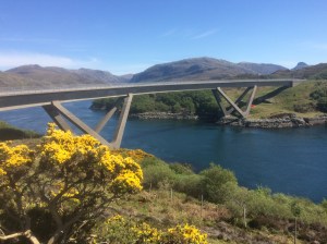
The Cloanaig Ferry arriving at Lochranza -
Lochranza -
A panoramic view of Lochranza -

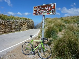
looking over to the Boguille climb on the Brodick to Lochranza road with Torr Nead an Eoin on the right -

Looking back to the Lochranza Distillery with Meall Mor in the background -

On the track leading down to Laggan Cottage -

On the track heading down to Laggan Cottage -

Laggan Cottage on the North shore of Arran not far from Lochranza is now in a bad state of repair. -
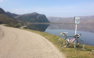
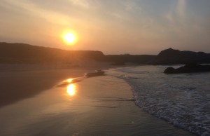
Looking over Loch Ranza to Lochranza -

Arran Map