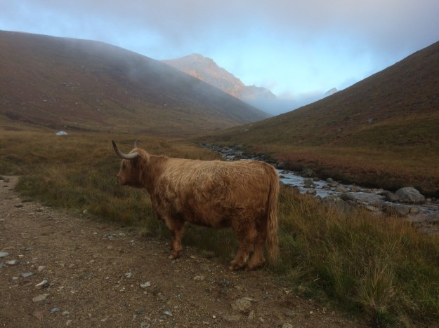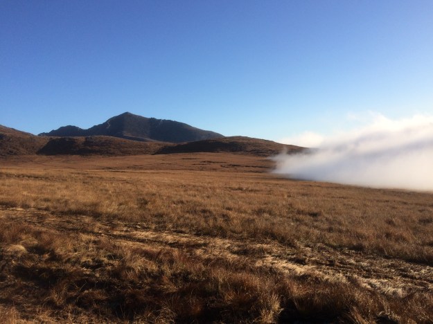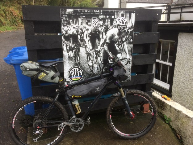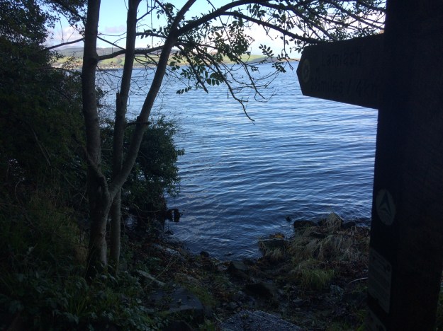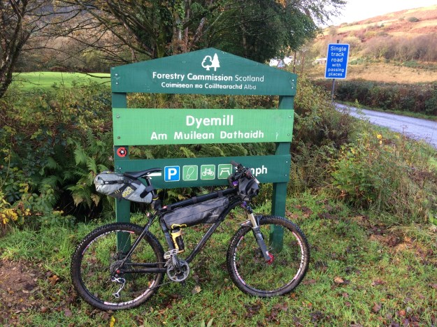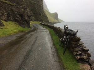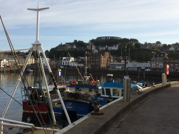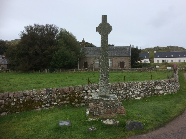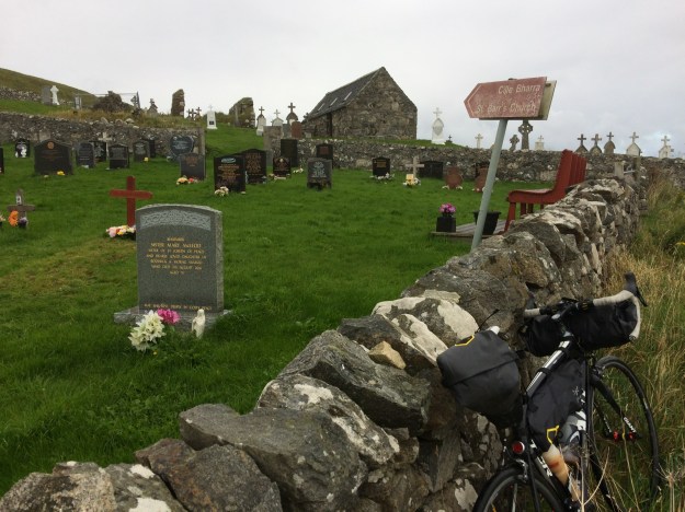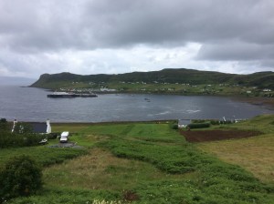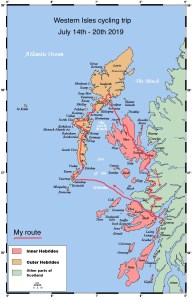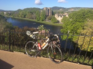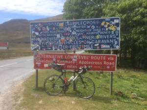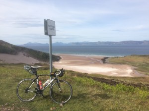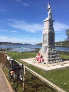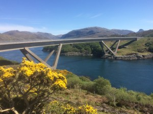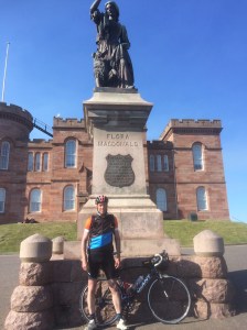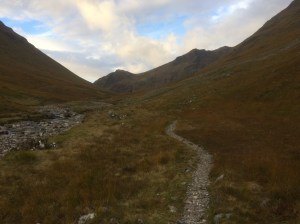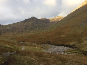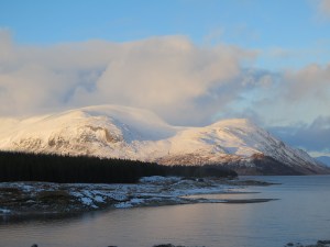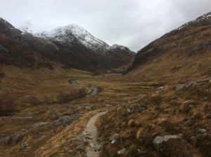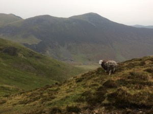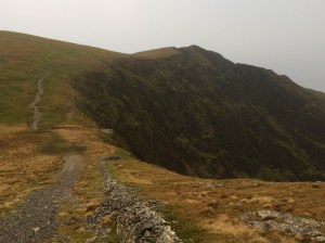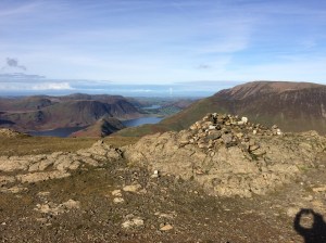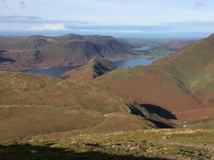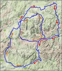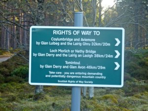
 With a week off work and the weather forecast looking ok, it was time to head North again to Scotland for another bike packing adventure. My starting point would be the small village of Tyndrum on the Southern edge of Rannoch Moor. The large car park next to the Green Welly shop is an ideal safe place to leave the car for a few days while you disappear off into the wilds. An early morning start saw me arriving at Tyndrum about 11.30am, the sun was out and it was pleasantly warm so I wasted no time in putting the bike back together again and attaching the bags, it was around about here that I realised that I had forgotten to pack my helmet, oh well, nothing to be done now, I just made a mental note to myself to not fall off. The Highland Trail 550 is a bike packing route that starts in Tyndrum and heads off Northwards to Bealach Hourn taking in some of the best natural mountain bike trails and quiet roads in Scotland and then heads South back to Tyndrum. The full route is 550 miles long and if you look at a map of this route it looks like 3 loops stacked on top of each other, my aim for this trip was to do the southern loop. I left Tyndrum heading North along the West Highland Way for about 5km then turned right and went under the railway viaduct between Beinn Odhar and Beinn Dorain, this easy track follows the Allt Kinglass for several kilometres and criss-crosses the stream many times at fords, almost guaranteeing wet feet. Soon Loch Lyon comes into view and after a short but steep climb up to the dam at the Eastern end of the Loch you get a great view down into Glen Lyon, the route then joins the very quiet road through the glen for 8 miles or so to Bridge of Balgie, where I stopped off at the Glen Lyon Tea Rooms for some soup and a coffee. After another 1.5km on this road you turn off left onto a forestry type of track and head North steeply up a stony track heading for Rannoch Forest, eventually you pass a lake and start heading Westwards through the never ending forest. After crossing the Allt Camghouran you turn left and head for the gap between two steep-sided hills (Leagag and Cross Craigs).
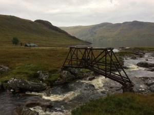
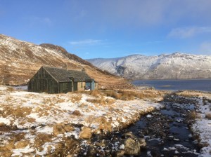
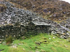
Bridge leading to Ben Alder Cottage
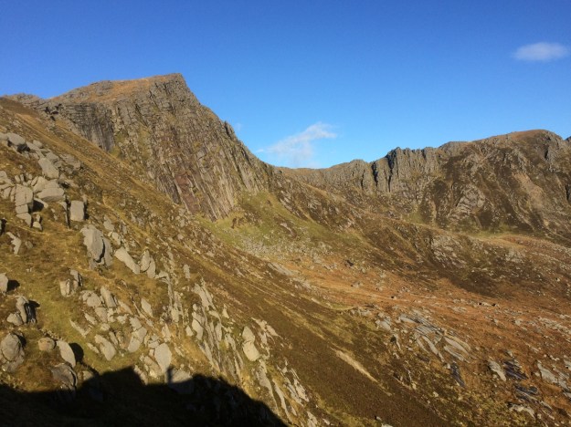
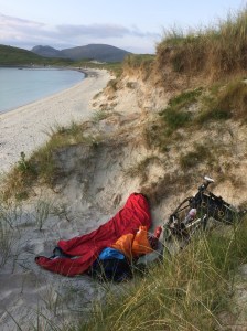
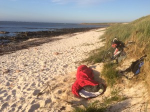
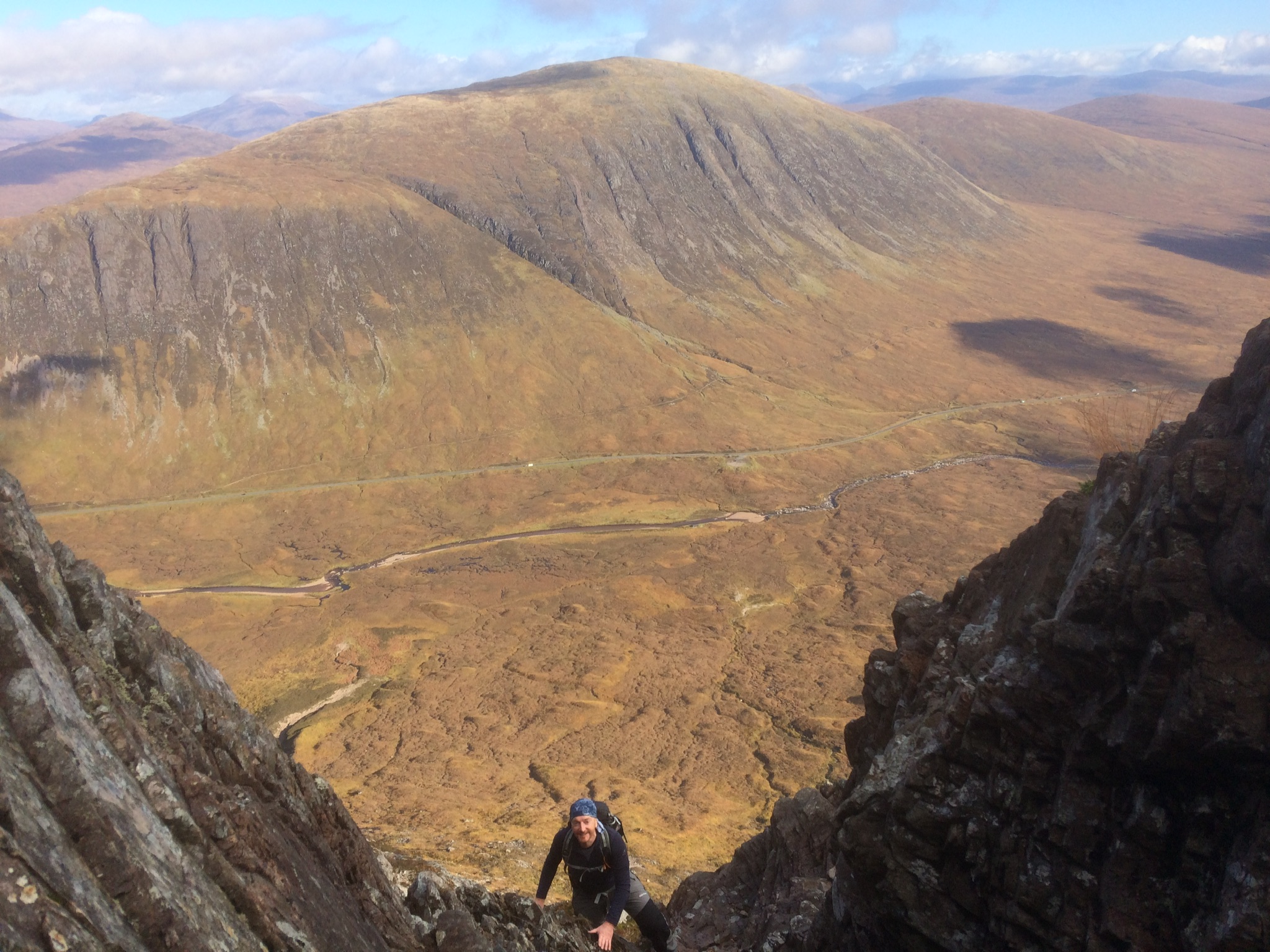
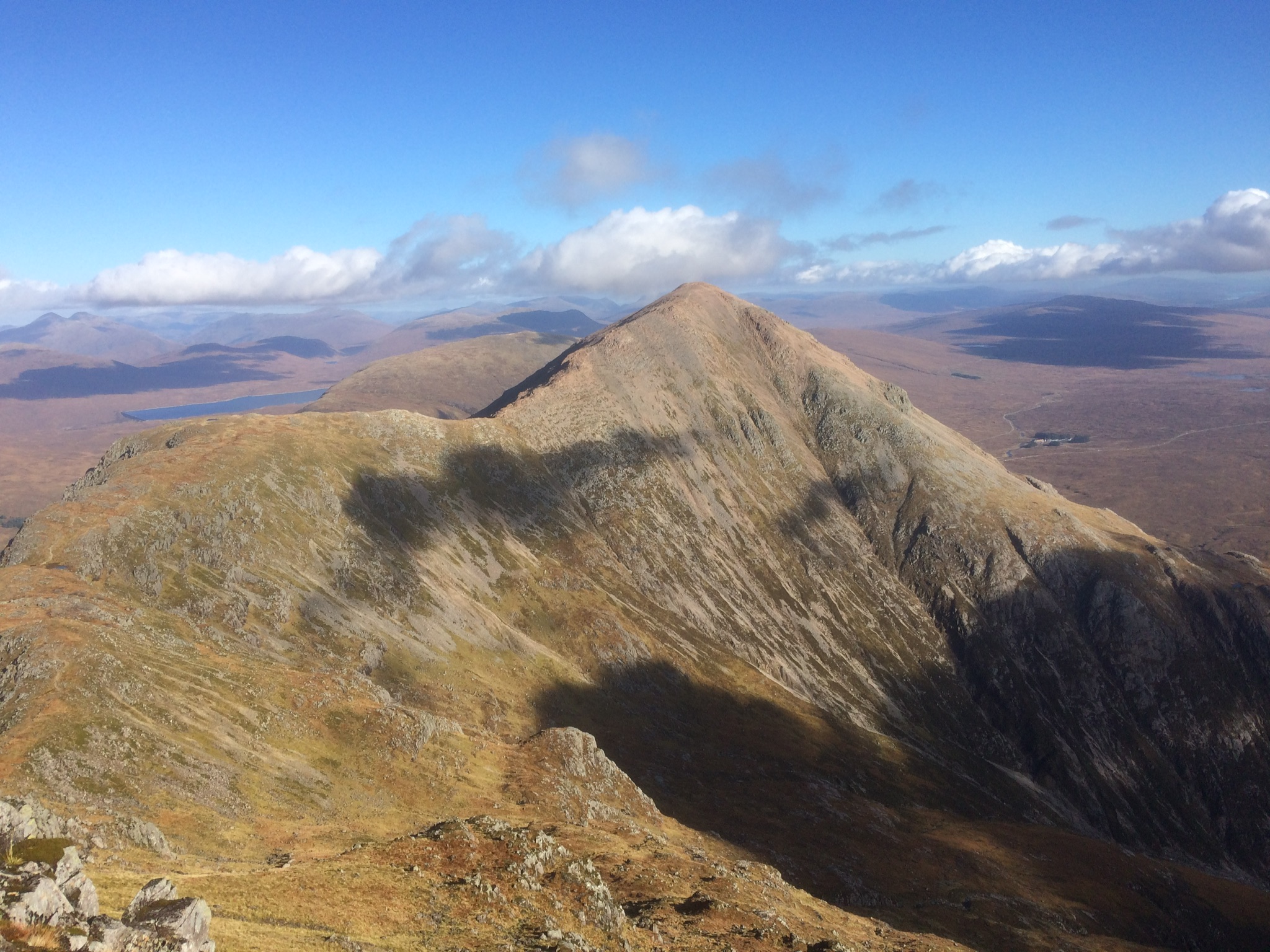
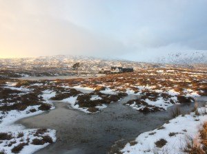
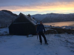
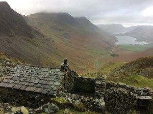
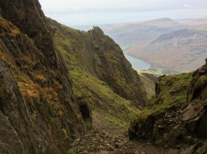
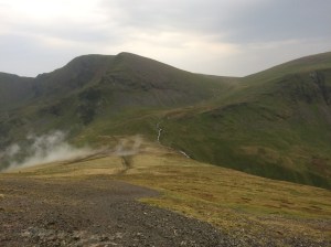
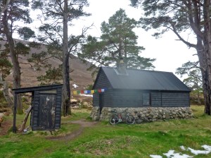
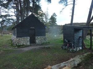
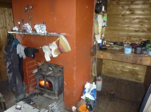
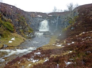
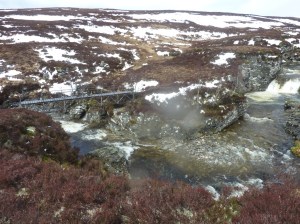
It was almost 6 o’clock now and I was looking for somewhere to stop for the night. i was only carrying a sleeping bag and a waterproof bivi outer so was looking for somewhere flat and soft. I decided on a soft grassy river bank spot next to one of the bridges, it looked idyllic and I soon had everything set up, however I had made a big mistake…. soon the midges found me and I was tortured that night by these small but infuriating insects. The next morning I was up and away as fast as I could before the dreaded midges could gather in numbers again, I was however slightly shocked when I saw all the red bite marks on my legs from last night. I cycled the 6km or so into Bridge of Gaur in a steady drizzle but by the time I reached the Rannoch road it was raining quite steadily, I turned right for a kilometer or so before turning left on the forest road that heads North to the shores of Loch Ericht and Ben Alder, it was now pouring it down but it didn’t last long and gradually the weather improved as the day went on. The trail was good most of the way but seemed to run out about a mile or so before reaching Ben Alder Cottage bothy and the way I went I had to cross some very rough boggy ground before the unusual wooden bridge that leads to the bothy came into view. There were a couple of other mountain bikes parked here but no sign of anyone, I’m guessing they were out climbing Ben Alder. After a coffee and some breakfast I headed off on the much anticipated single track section around Ben Alder, there’s a hike a bike start but it’s not long before it gets rideable, it helps if you are good at bunny-hopping as there are numerous drainage channels that cross the narrow trail, unfortunately I’m not but felt I was improving as the miles went by, I met another couple of mountain bikers as I was heading down, they had cycled in from Dalwhinnie and were doing the full Ben Alder loop which looks like a great day out. The sun was now out so I stopped by the stream for half an hour or so to have something to eat and to dry my damp sleeping bag out, then set off on the fabulous trail that leads down to the bothy at Culra.

Culra Bothy near to Ben Alder
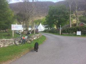
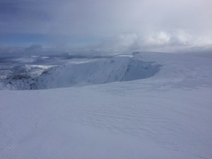
Shortly after leaving the bothy I crossed the stream on the right at the bridge, there was a sign attached to it saying that the swing bridge at the ford on Loch Pattack was damaged, this trail leads up to the main track that goes past Loch Pattack and heads North along the River Pattack and eventually comes out onto the A86 main road from Spean Bridge, I turned right here and headed for Wolf Trax mountain biking centre, hoping to get there before the cafe shuts, unfortunately I was just too late, so I continued on my route and turned left off the main road shortly afterwards on a dead end road that leads down to the Spey Dam and followed this road to Melgarve Bothy at the end of the road and the start of the Corrieyairack Pass. The bothy was locked up due to the covid restrictions so I had bivi number two by the stream nearby. The next morning I was all packed up and away by 7.30am and it was a steady climb from the start, into the gloomy green and brown Corrie, with low grey clouds covering the tops and a line of huge electricity pylons on my left, snaking its way off into the distance, a lot of the trail is rideable which I was pleased about but the hairpins certainly weren’t and involved a steep push, a small square concrete building marks the top of the climb and from here it’s a very long fast descent, I had to stop a couple of times to let my brakes cool down as a I could smell them burning, eventually you come to a fork in the road which wasn’t marked on my old OS map, I went left and the road started climbing again into the distance and I thought I must have gone wrong but eventually after another long descent down some hairpins I arrived at a small lake and an easy track brought me past the impressive Culachy House and onto the road, where I turned off left at Ardachy Lodge, on an overgrown narrow trail that leads to the B862 road into Fort Augustus, where I had a coffee and something to eat at Cobbs Cafe overlooking the 5 canal lochs.

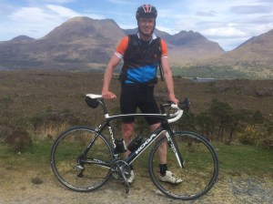
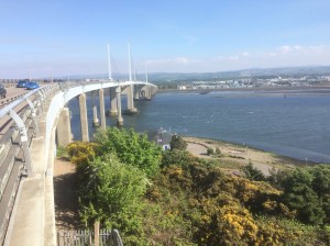
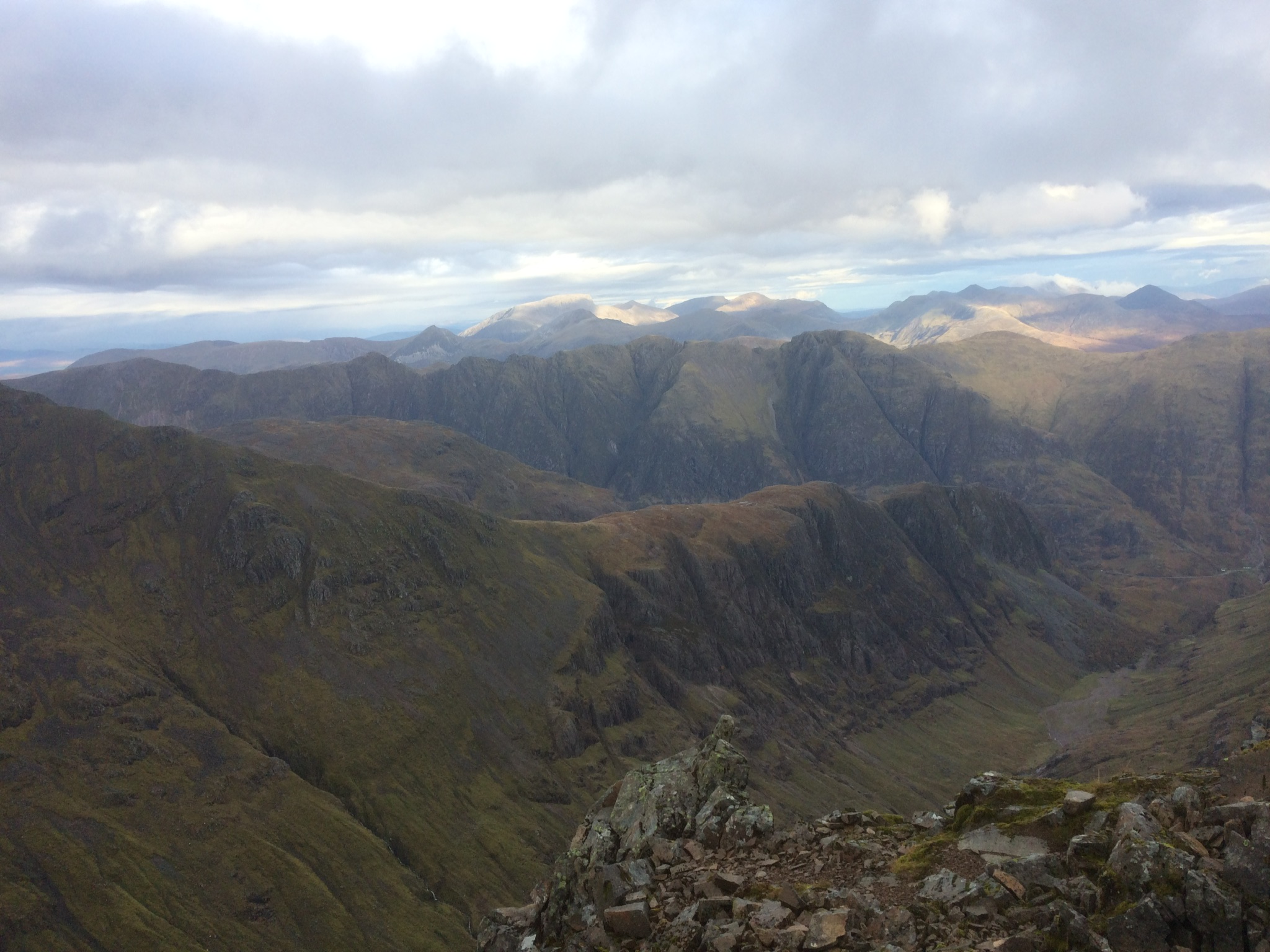
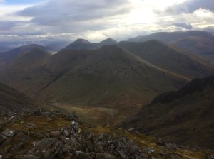
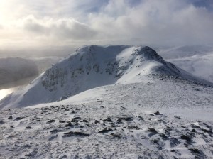
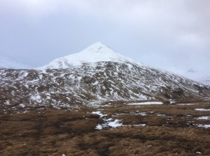
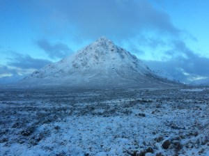
Looking over to Buachaille Etive Mor from the Kinghouse Hotel
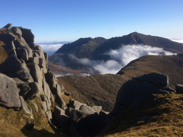
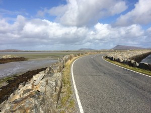
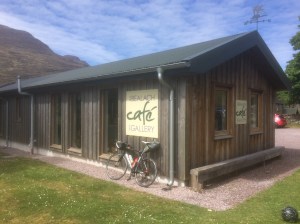
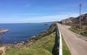
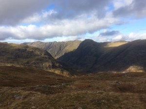
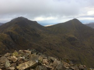
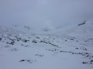
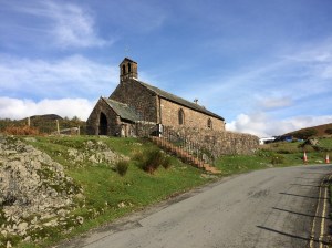
The next section to Fort William is via the Great Glen Way and is 36 miles long, it basically follows the Caledonian Canal and is easy pleasant cycling, the only hilly bits being through Clunes Forest on Loch Lochy, there is even a nice bit of single track to look forward to between Bunarkaig and Gairlochy. Once in Fort William I went round to the Bank Street Lodge, a place I’ve been to many times before, to see if they had a room, I was in luck and tonight I would have a comfy bed to look forward too. The final section of this tour would be along the West Highland Way from Fort William to Tyndrum, a distance of 43 miles. I stocked up on food and drink from the local supermarket and was heading along Glen Nevis by 8.00am. It’s a long steady uphill ride through Nevis Forest up to the Dun Deardail ancient fort sign, shortly afterwards you turn off left on a single track section and it’s a bit of a roller coaster section and some pushing through the rest of the forest. Once out of the woods you are on a wider loose rocky path and you can ride it all the way to the turn-off for Kinlochleven where I pushed the bike down the steep narrow slopes into town and had a sandwich on a bench overlooking the river. The weather was improving rapidly and it was now a beautiful sunny hot day as I set off on the massive climb out of Kinlochleven up to the Devil’s Staircase, most of it was hike-a-bike and I did get some strange looks from the steady stream of West Highland Wayers coming the other way. The views were spectacular though, to the North the impressive peaks of the Mamores and looking South there was Buachaille Etive Mor and the Glen Coe peaks. I stopped off at the newly refurbished Kingshouse Hotel and sat on the wall outside drinking an ice cold pint of lager and enjoying the beautiful weather and views before setting on on the final 19 miles to Tyndrum, initially over the Black Mount to Victoria Bridge, then along the newly resurfaced and velvety smooth road to Bridge of Orchy and then finally back to Tyndrum. After packing the bike away in the car I headed over to The Real Food Cafe and had a much needed meal of fish and chips, then set off to drive home, arriving close to midnight… it had been another memorable trip up to Scotland.
5km after leaving Tyndrum the route goes under the railway viaduct and follows the Glean Achadh-innis Chailein 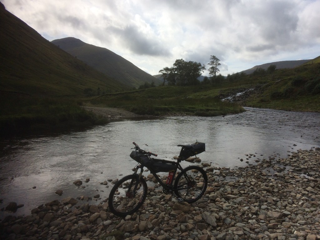
The trail crosses the Allt Kinglass several times via fords, almost guaranteeing wet feet from the start 
About to drop down to the trail along the North shore of Loch Lyon 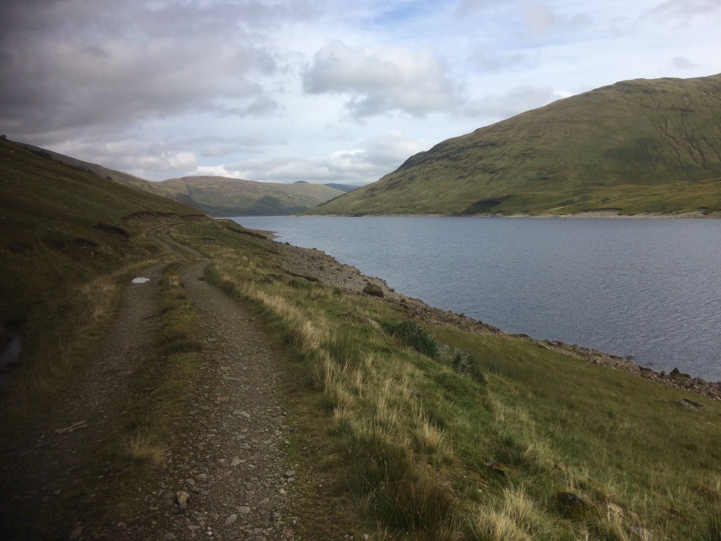
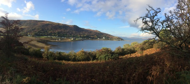
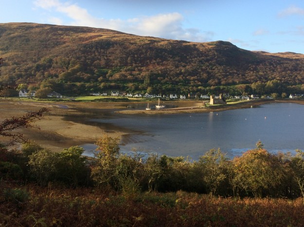
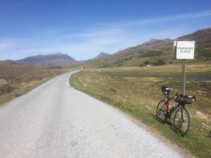
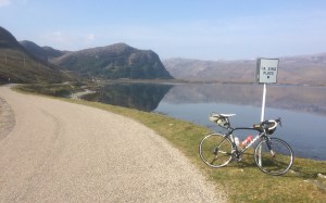
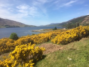
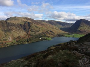
Loch Lyon 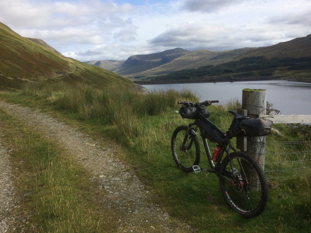
Loch Lyon 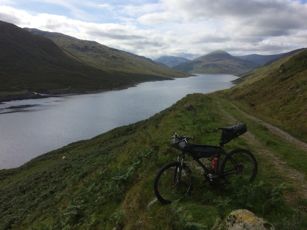
Looking back along Loch Lyon 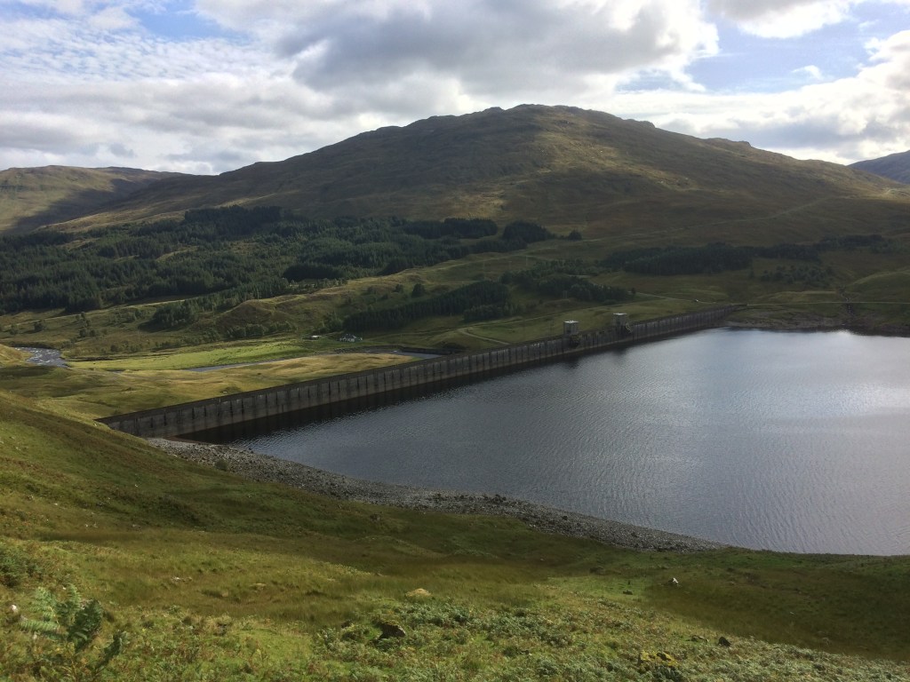
The dam at the Eastern end of Loch Lyon 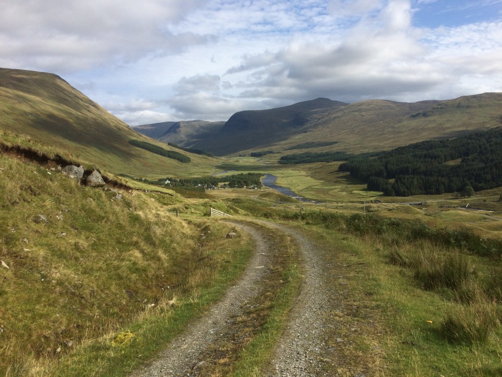
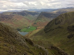
Heading down to Glen Lyon 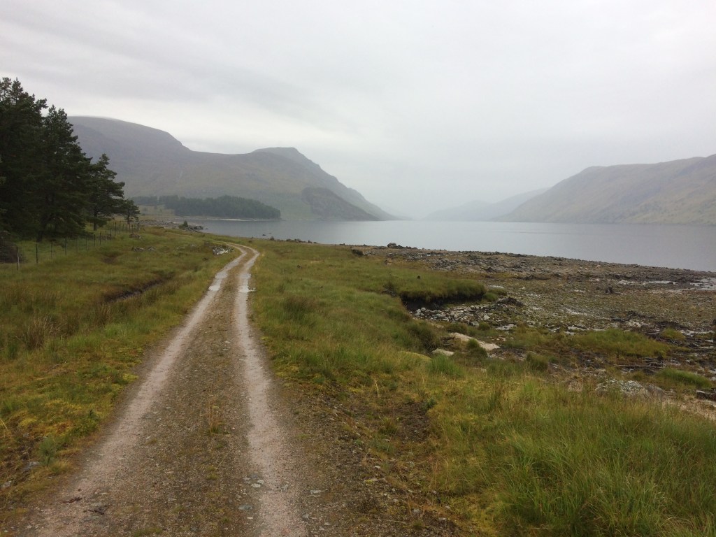
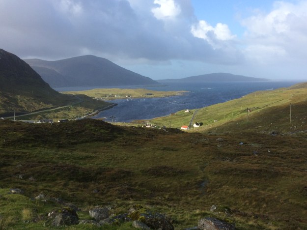
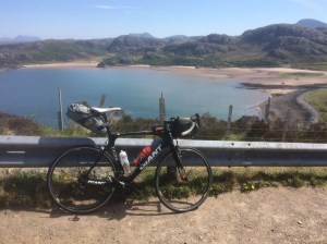
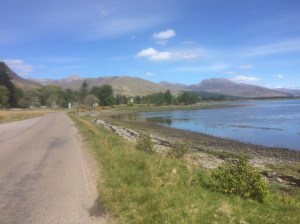
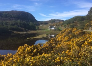
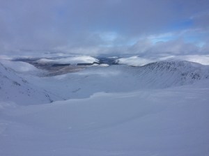
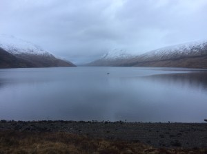
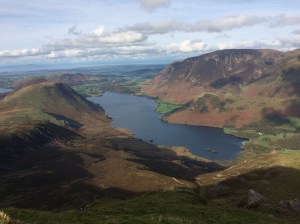
Loch Ericht 
Ben Alder Cottage 
Bridge leading to Ben Alder Cottage 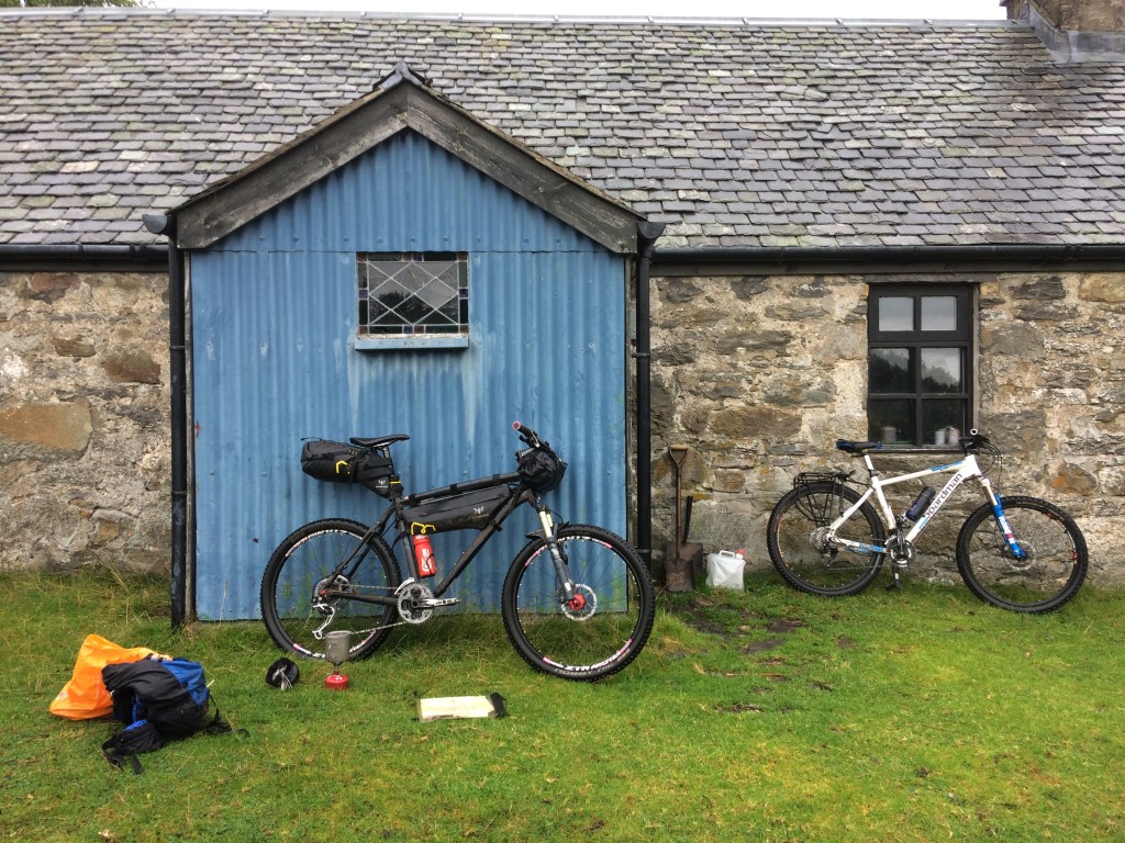
Coffee stop at Ben Alder Cottage 
Ben Alder single track 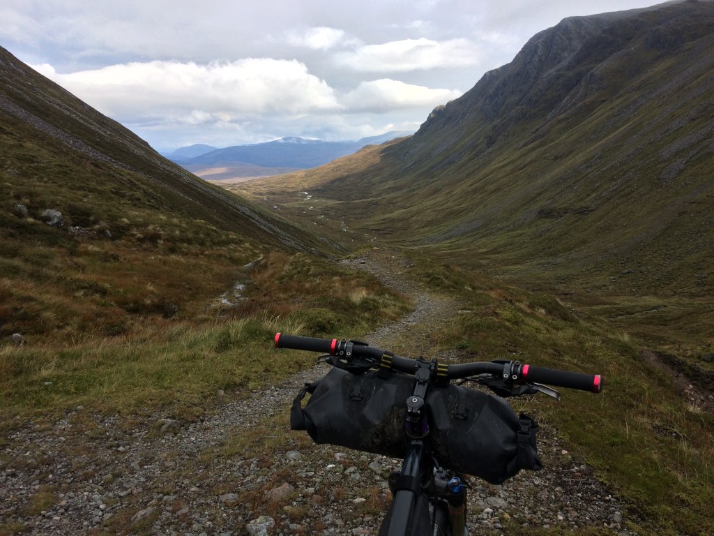
Ben Alder single track 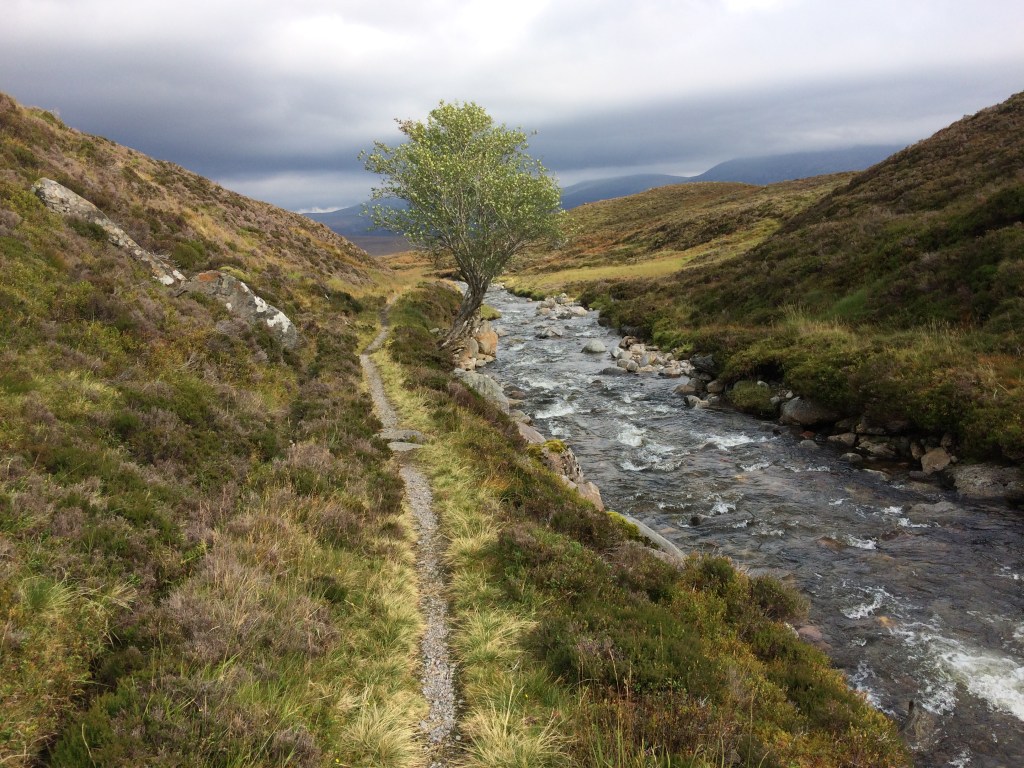
Ben Alder single track 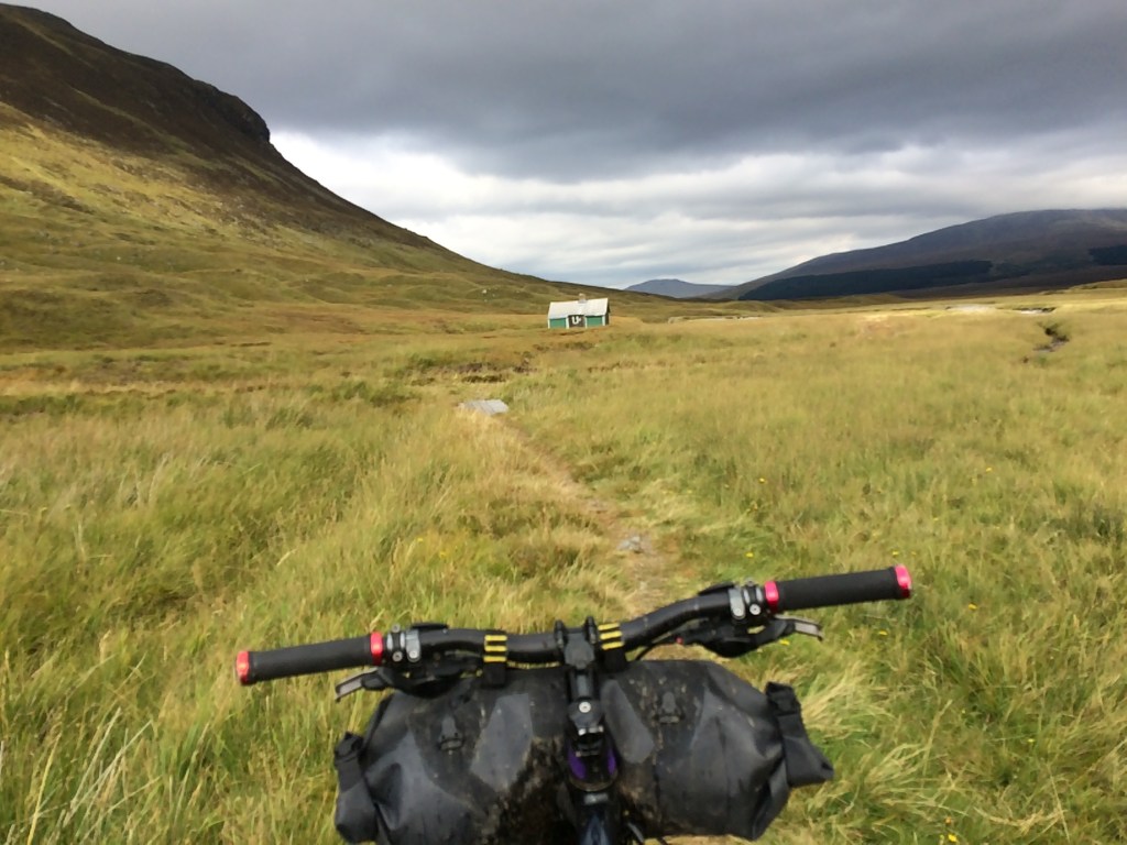
Approaching Culra bothy 
Culra bothy 
Bridge near to Culra Bothy 
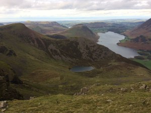
Loch Pattack 
Bridge over the River Pattack 
Melgarve bothy at the foot of the Corrieyairack Pass 
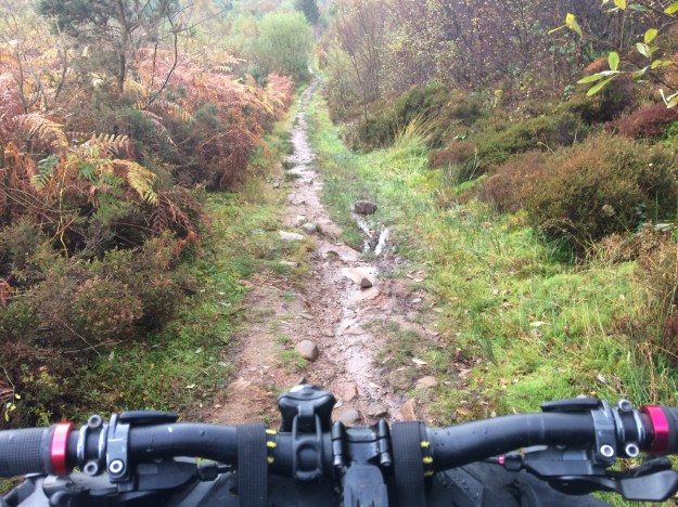
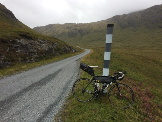
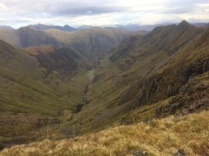
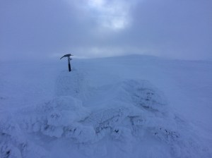
The Corrieyairack Pass, the trail heads over to the left and climbs the hillside via steep zig-zags not far from the huge electricity pylons 
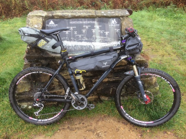
Sleeping bag and bivi in the rear bag, bike tools and heavy stuff in middle bag and water proofs and spare clothes in front bag 
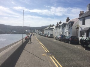
Caledonian Canal locks at Fort Augustus 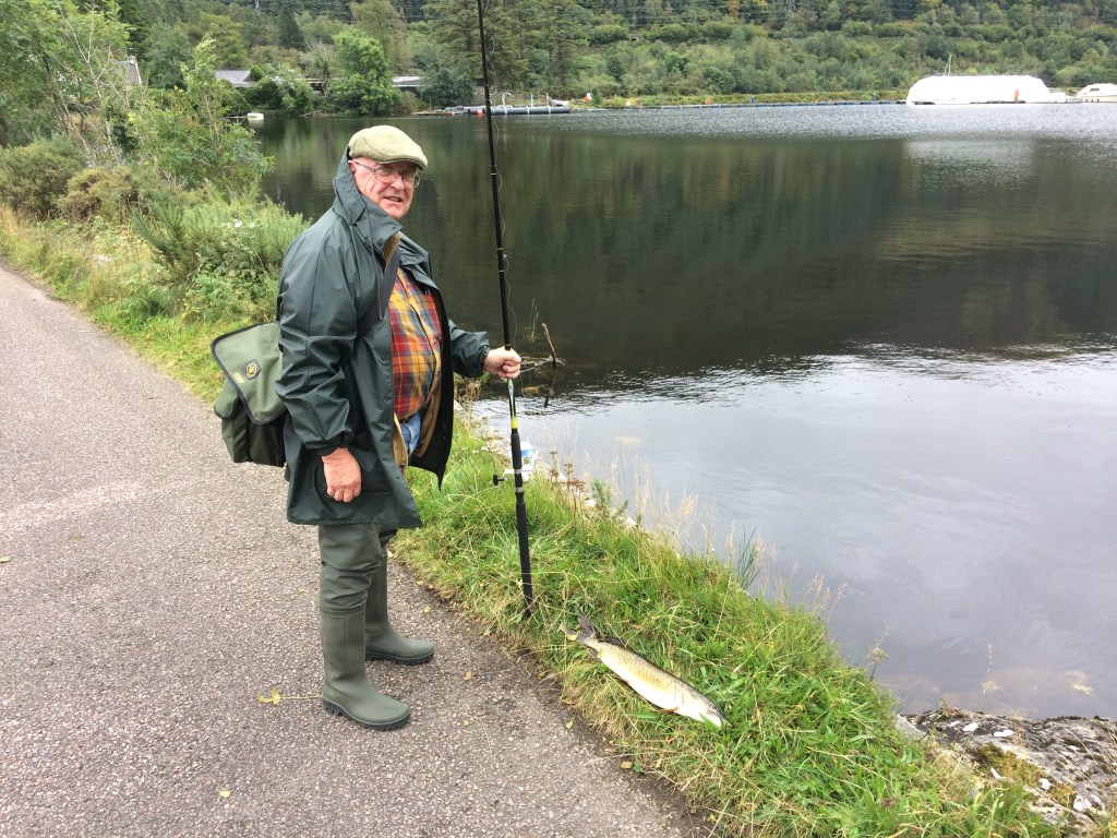
Freshly caught Pike at the start of Loch Lochy 
looking back to Fort William from the West Highland Way 
Looking over to Ben Nevis, the tourist path snakes its way up the hill on the left 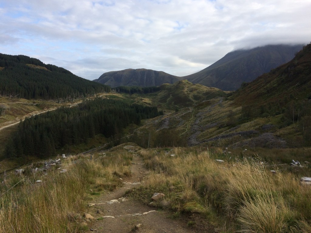
West Highland Way trail , looking over to the grassy hilltop fort site of Dun Deardail 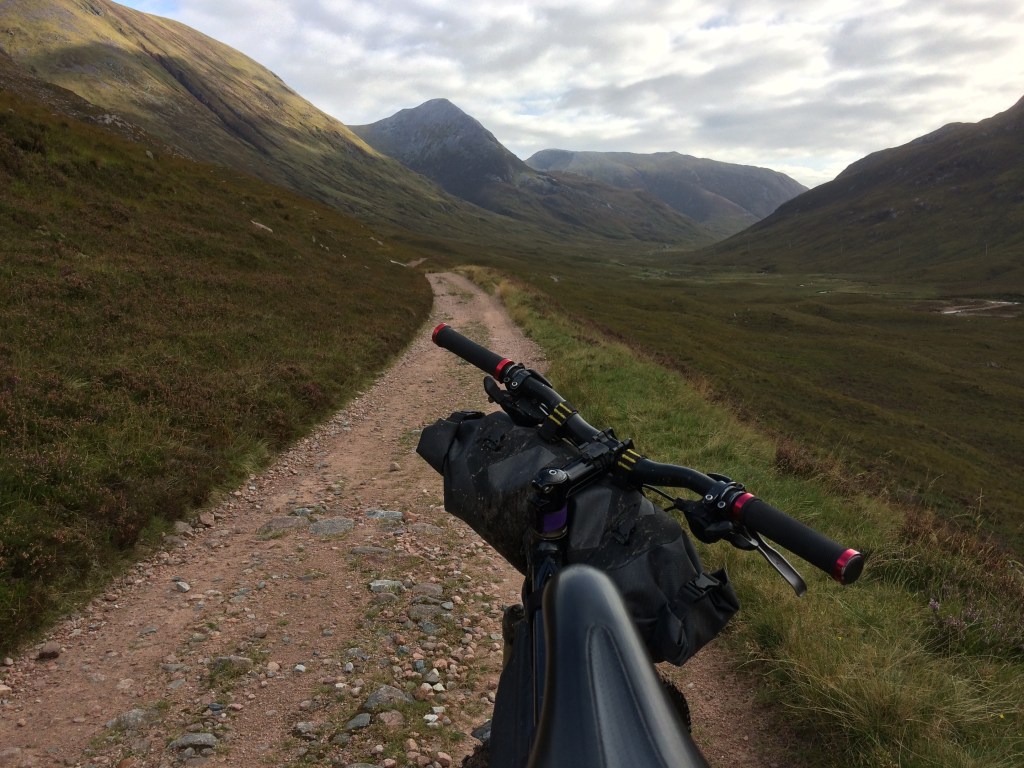
West Highland way, looking towards Stob Ban and heading for Kinlochleven 
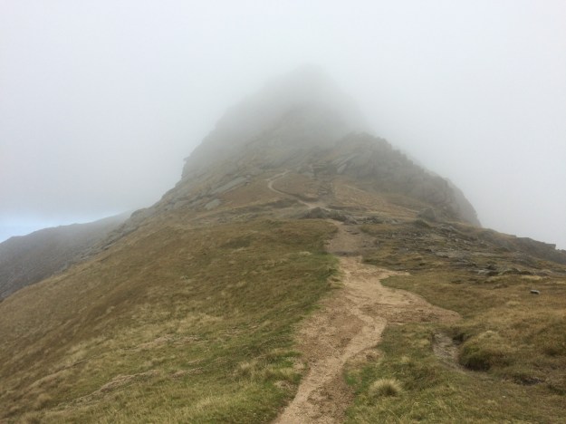
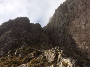
The start of the rocky section leading up to the Devils Staircase 
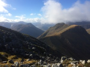
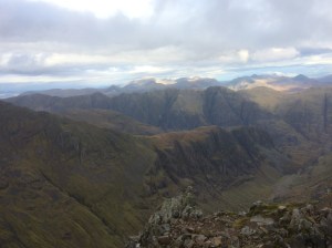
Great views over to the Mamores on the way up to the Devils staircase 
looking back to the Mamores on the long climb up the Devils staircase 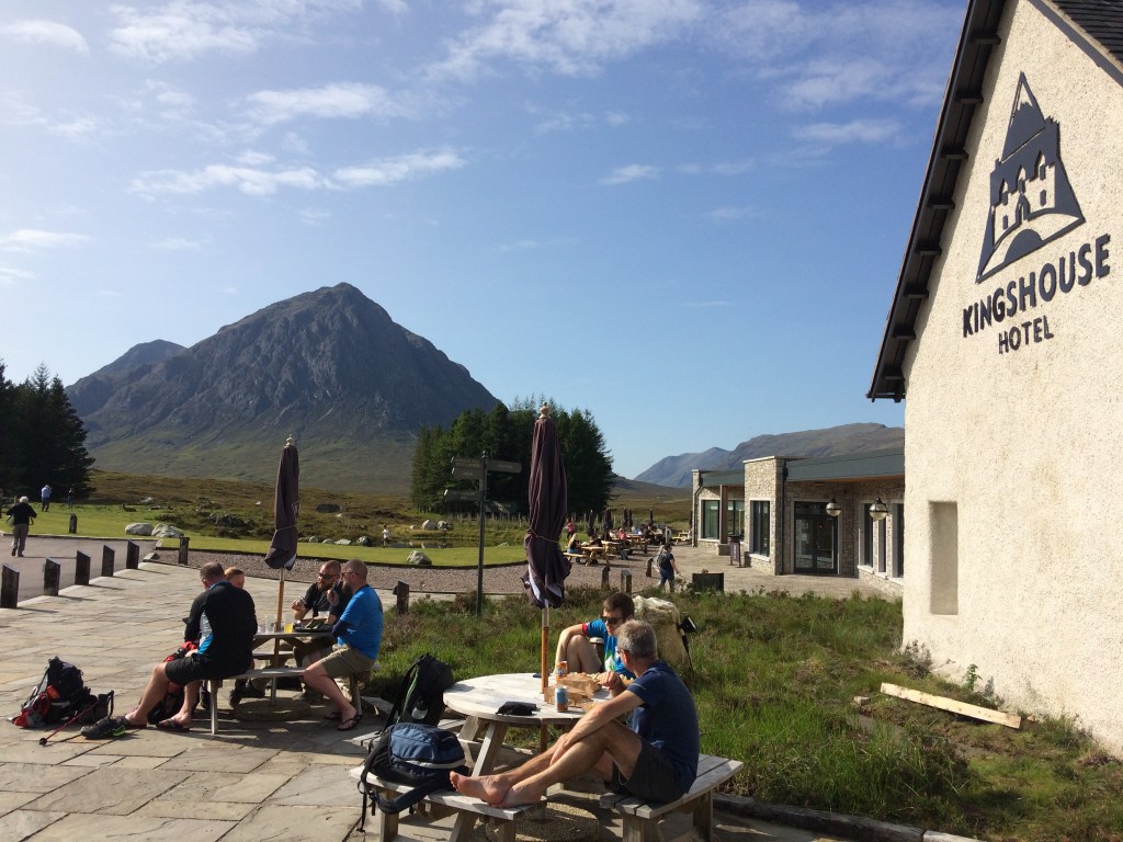
The newly renovated Kingshouse Hotel in Glen Coe 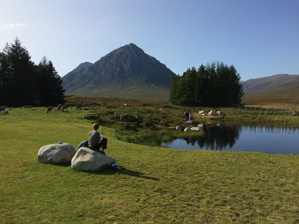
Looking over to Buachaille Etive Mor from the Kingshouse Hotel 
Glen Coe Ski Resort Entrance 
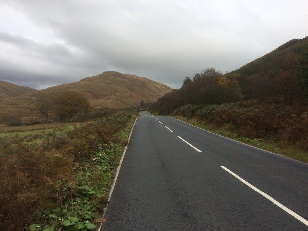
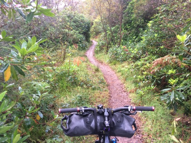
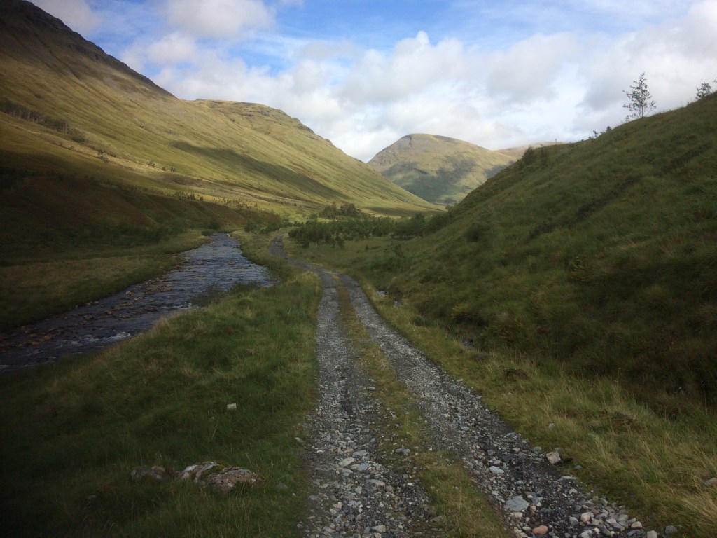
Smooth trail heading for Beinn Odhar, not far from Tyndrum